PHOTOGRAMMETRIC ENGINEERING & REMOTE SENSING
March 2014
199
PHOTOGRAMME TR I C ENG I NE ER I NG & REMOT E SENS I NG
The official journal for imaging and geospatial information science and technology
March 2014 Volume 80 Number 3
H I GHL I GHT ART I C L E
Aparajithan Sampath, Hans K. Heidemann, Gregory L. Stensaas,
and
Jon B. Christopherson
I NT ERV I EW
PE ER - REV I EWED ART I C L ES
21
Aaryn D. Olsson and Jeffrey T. Morisette
AVIRIS-based simulations of HyspIRI, Landsat TM, and ASTER are used to compare
the tradeoffs of spatial and spectral resolution to map an invasive species in the
Sonoran Desert.
22
Shunping Ji, Yun Shi, Zhongchao Shi, Anmin Bao, Junli Li, Xiuxiao Yuan, Yulin Duan,
and Ryosuke Shibasaki
Errors of the ideal panoramic camera model are analytically constructed, including both
the in-perspective transformation of a mono-image and the co-planarity of stereo-pair.
23
Alim. Samat, Peijun Du, Muhammad Hasan Ali Baig, Sumit Chakravarty,
and Liang Cheng
A method to extract parking lot structures from an aerial orthophoto with high
correctness, high completeness, and good geometric accuracy.
25
Krishna Kumar Naithani
A simplified approach for GPS assisted densification of leveling network for high-
accuracy, large-scale mapping without a geoid.
26
Long Tengfei, Jiao Weili, and He Guojin
A new approach to simplify the rational function model (RFM) and estimate the rational
polynomial coefficients (RPCs).
27
F.J. Ariza-López, and J. Rodríguez-Avi
A statistical model inspired by the National Map Accuracy Standard that is applicable to
1D, 2D, and 3D cases on parametric and nonparametric statistical models that considers
user’s and producer’s risk.
COLUMNS
Republic of India
High Resolution Satellite Imagery
ANNOUNCEMENTS
DEPARTMENTS
84
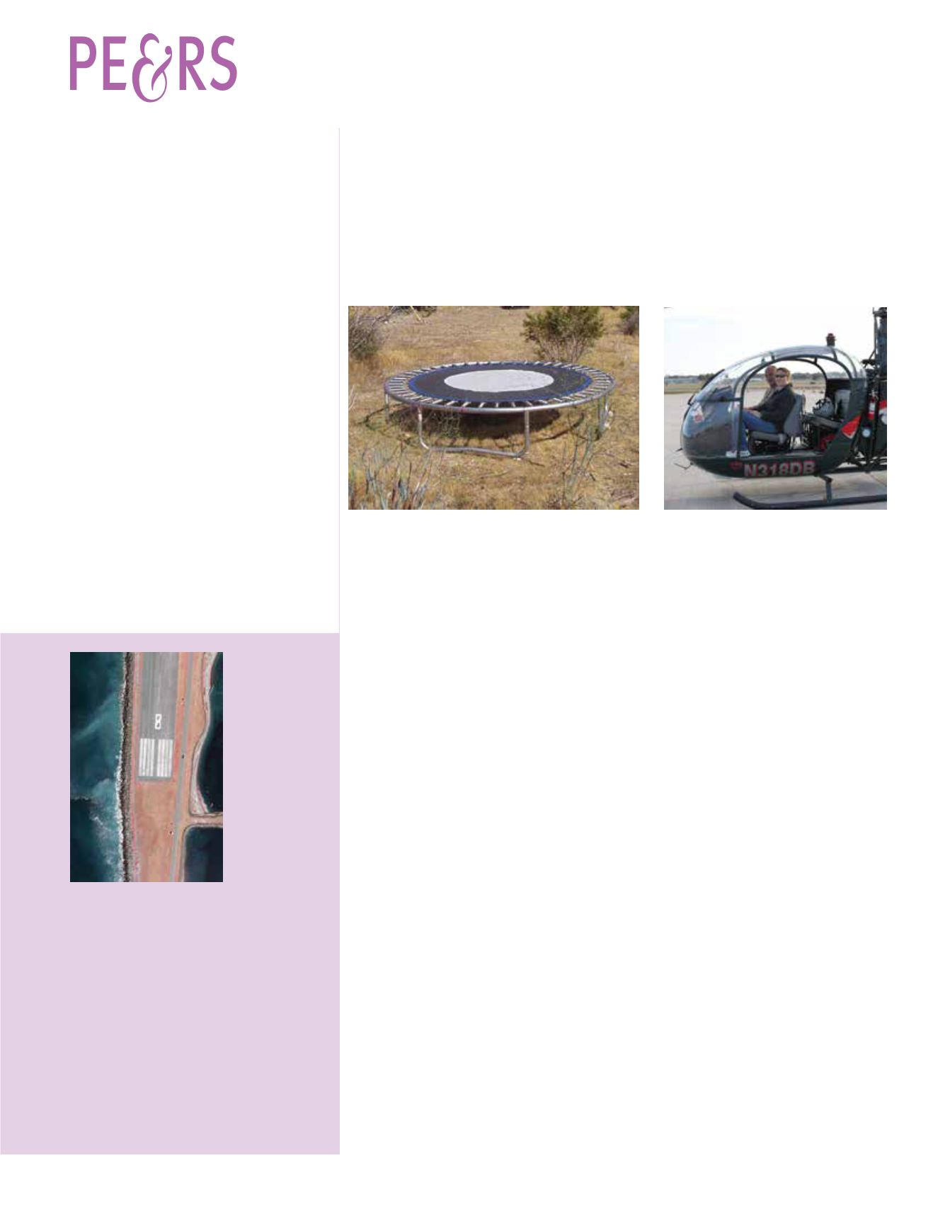
The cover image
was taken by
Valley Air Photos
on August 16,
2012. Valley
Air Photos was
contracted by
Access Geographic
of Tempe, Arizona
to support a RFP
awarded by the
Lower Elwha
Klallam Tribe
and the City of
Port Angeles,
Washington for
orthophotography
and contour mapping. This color infrared image is of
the Port Angeles Coast Guard Air Station and was
collected with the Vexcel Ultracam X digital camera
at a 3cm resolution. The geospatial information
collected was used for watershed drainage and
sea cliff erosion assessment, both critical issues
along the Olympic Peninsula of Washington. The
resulting images from this flight showcased the
incredible detail and accuracy that Valley Air Photos
achieves with the Ultracam X digital camera.
Valley Air Photos is an aerial acquisition company
based in Caldwell, ID. They have been providing
quality, high accuracy, aerial photography for over 28
years. With an office in Caldwell, Idaho and Glendale,
Arizona, Valley Air Photos serves clients across the
US and Canada. For more information on Valley Air
Photos and its services email: kevin@valleyairphotos.
com or visit:


