1022
November 2014
PHOTOGRAMMETRIC ENGINEERING & REMOTE SENSING
BOOK
REVIEW
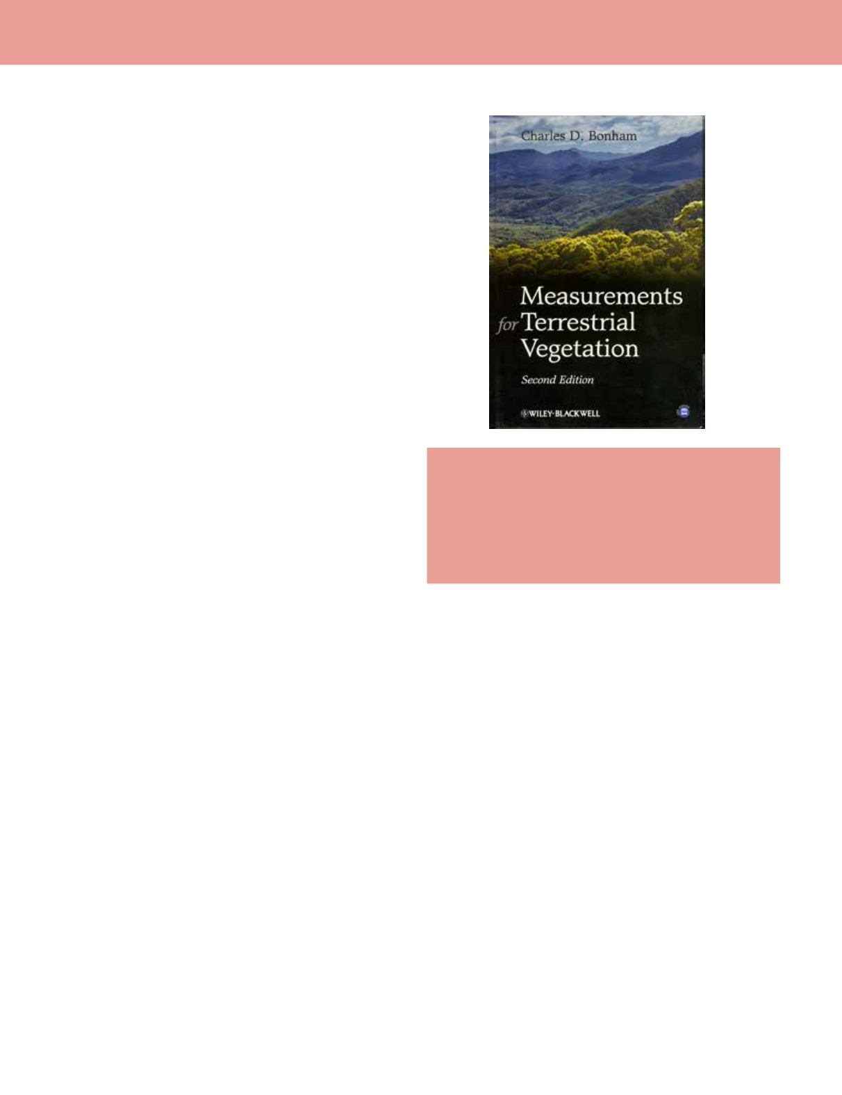
Measurements for Terrestrial
Vegetation (2
nd
Edition)
Author: Charles D. Bonham
Publisher: Wiley-Blackwell, 260pp. illustrations, case studies.
Hardcover. $89.95
ISBN 978-0-470-97258-8
Reviewed by:
John S. Iiames, PhD, U.S.
Environmental Protection Agency, RTP, NC
Charles D. Bonham’s “Measurements for Terrestrial
Vegetation” (2nd Edition) presents methods for analyzing
species frequency, plant cover, density and biomass data.
This book is rich in describing field applications (statistical
sampling and analysis designs) and statistical analysis (bias
and probability distributions). The author also addresses the
use of satellite derived data in the sampling design and the
monitoring phases of vegetation characterization. This book
is valuable to the practitioner and also could be used as a
primary text in ecological studies at the university level.
The author dedicates nine chapters (234 p.) to defining
vegetation attributes (frequency, cover, density, biomass)
measured in the field, sampling units used (i.e., points,
quadrants, line intercepts, line transects), statistical methods
employed (data behavior, sample size, data distributions), and
monitoring methods available (field and satellite-based). The
illustrations are all in black and white and are appropriate
and necessary. The author provides equations with examples
throughout the text and also includes a number of case
studies that further illuminate a process described earlier in
the chapter.
Correlating field-level vegetative data to pixel-level
satellite spectral characteristics in order to derive vegetative
products over regional extents has presented its own
suite of challenges: (1) Are finer spatial resolution data
appropriately registered with the ground plots/quadrants/
points? And (2) Does under sampled field data bias cover,
density, and biomass products extended over larger regions?
Bonham addresses the ground to satellite connection briefly
in two chapters, chapter 4 “Spatial Sampling Designs for
Measurements” and chapter 9 “Monitoring and Evaluation”.
Bonham focuses almost entirely on the characteristics of
the 30 x 30 m pixel ascribed to the Landsat 5 and 7 data. In
chapter 4 the author describes the benefit of using Landsat
data to design a sampling strategy that effectively uses the
0.25 acre pixel as the primary sampling unit. He mentions
that subdividing the 30 x 30 m pixel into nine 10 x 10 m
sampling units corresponds to the standard sampling unit
used to count trees, and measure basal area and diameter at
breast height (dbh). The 10 x 10 m plot also is recognized by
vegetation biometricians as the largest plot used in ecological
studies to study cover percentages (tree [10 x 10 m], shrub [4
x 4 m], herbaceous [1 x 1 m]). At the end of this chapter he
briefly summarizes two case studies that examine inventory
and monitoring of vegetation (agriculture and forest).
Chapter 9 (“Monitoring and Evaluation”) addresses the use of
satellite imagery as one source of an extended database that
includes soil, topographic, climatic, and vegetation resources.
Here, one case study is mentioned that relates spectral
characteristics to plant biomass.
In summary, this book is excellent for describing the
methods for measuring vegetative attributes (frequency,
cover, density, and biomass) and the sampling design that
will provide unbiased estimates for the attribute measured.
However, the book is lacking in describing indirect optical
field measurements of cover such as leaf area index (LAI).
Also, the section on the use of satellite imagery is limited
to just one sensor type (Landsat 5, 7) with specific spectral
and spatial characteristics. A full chapter could have been
dedicated to the range of satellite products available and
their sensor capabilities of extracting vegetative parameters
from the spectral-field measured intersections. Despite these
limitations, the sampling design and measurement strategies
described provide the ecologist/biologist with the necessary
tools to capture vegetation structure over a landscape.


