PHOTOGRAMMETRIC ENGINEERING & REMOTE SENSING
July 2015
519
H I GHL I GHT ART I C L E
Saurabh Channan, Min Feng, Do-Hyung Kim, Joseph Owen Sexton, Xiao-Peng Song, Dan-
Xia Song, Praveen Noojipady, Kathrine Collins, Anupam Anand and John R. Townshend
Ramesh Sivanpillai
PE ER - REV I EWED ART I C L ES
Craig Rodarmel, Mark Lee, John Gilbert, Ben Wilkinson, Henry
Theiss, John Dolloff,
and
Christopher O’Neill
A standardized sensor model and associated metadata storage
format to assist in downstream lidar data adjustment and error
propagation.
Deepika Uppala, Ramana Venkata Kothapalli, Srikanth Poloju,
Sesha Sai Venkata Rama Nullapudi,
and
Vinay Kumar Dadhwal
Rice crop scattering mechanism and discrimination using hybrid
polarimetric SAR data
Xiang Shen, Guofeng Wu, Ke Sun,
and
Qingquan Li
A new scan-line search algorithm for the object-to-image
projection problem of airborne pushbroom images performing
better than previous methods in terms of both efficiency and
robustness.
Kurtis J. Nelson
and
Daniel Steinwand
A tiled and composited dataset for the conterminous United
States that was optimized for annual change detection.
Chinsu Lin
and
Narangarav Dugarsuren
Determining net primary production using meteorological data
and remotely sensed vegetation parameters on data collected in
Mongolia between 2000 and 2004.
PHOTOGRAMME TR I C ENG I NE ER I NG & REMOT E SENS I NG
The official journal for imaging and geospatial information science and technology
July 2015 Volume 81 Number 7
APPLICATIONS
PAPER
COLUMNS
ANNOUNCEMENTS
DEPARTMENTS
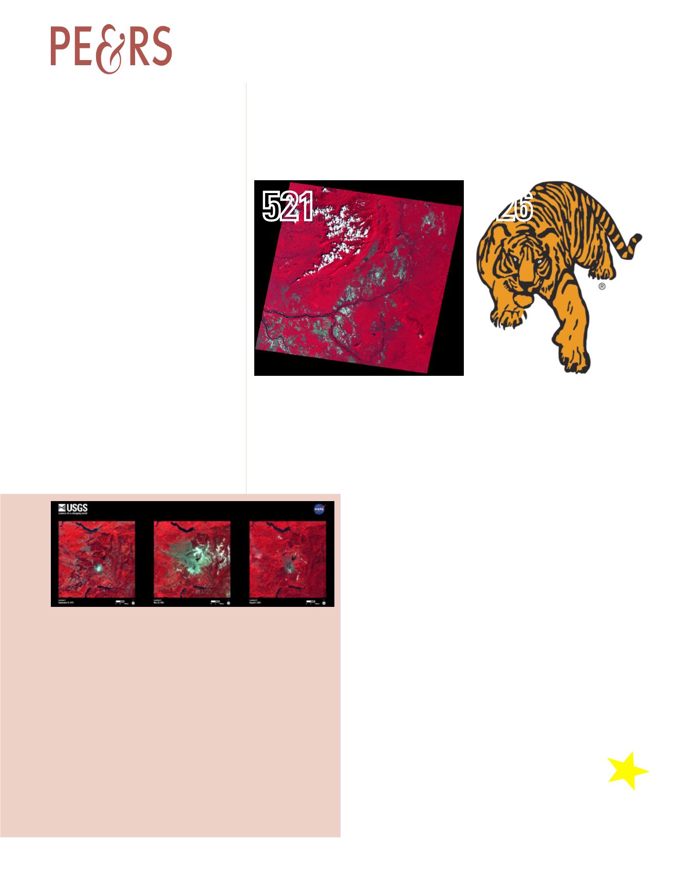
The violent eruption of Mount St. Helens 35 years ago permanently changed the moun-
tain and surrounding forest. The volcanic blast on May 18, 1980, devastated more than
150 square miles of forest within a few minutes. In these Landsat false-color images,
forest appears as bright red interspersed with patches of logging. Snow appears white,
and ash is gray.
Before the eruption, Mount St. Helens towered about a mile above its base, but when
the volcano erupted, its top slid away in an avalanche of rock and debris. When mea-
sured on July 1, 1980, the mountain’s height had been reduced from 9,677 feet to 8,364
feet-a difference of about 1,300 feet.
The 2014 Landsat image shows vegetation regrowth, as light red and pink, in the
devastated area. However, the gray around the mountain is still evident, and the volcanic
crater is still prominent as an “amphitheater,” where the peak of the mountain slid away.
Scientists are using this opportunity to witness the recovery process, both with sat-
ellites and on the ground. With its 40-plus years of consistent imagery, the Landsat
archive is perfect for studying the landscape changes caused by natural disasters and
the gradual recovery process.
Sensor: L1 MSS, L4 MSS, L8 OLI
Acquisition Date: September 15, 1973, May 22, 1983, August 7, 2014
Path/Row: 46/28
Lat/Long: 46.000/-122.400
For more information, visit
gory&thesort=pictureId. Category: Natural Disasters. Date Posted: 05/21/2015.
Contents


