430
June 2015
PHOTOGRAMMETRIC ENGINEERING & REMOTE SENSING
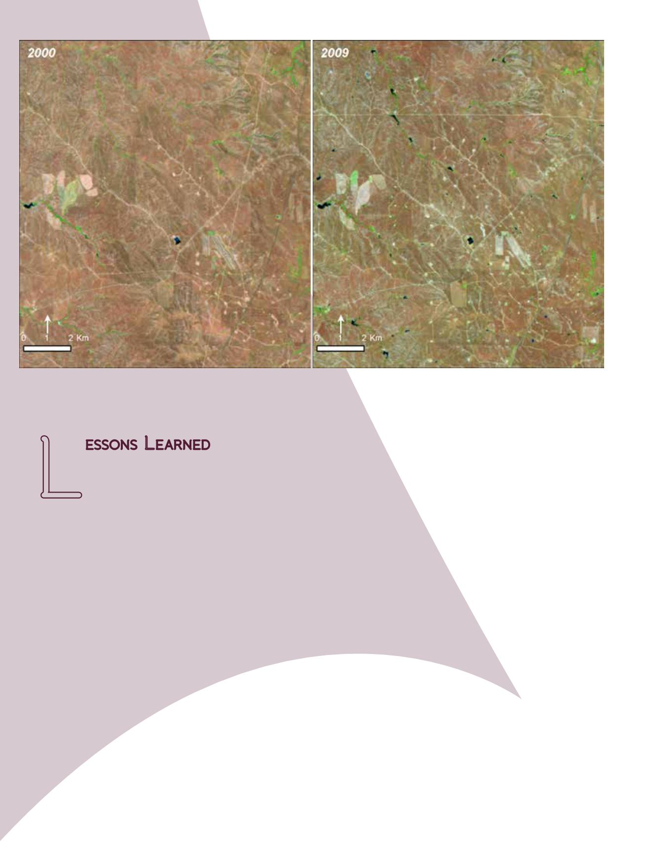
Figure 3 – Landsat images acquired in 2000 (left) and 2009 (right) show the retention ponds (appears in blue color) constructed to hold the
co-produced water generated during coal-bed natural gas extraction in Powder River Basin, Wyoming (USA). This image was generated by
WyomingView for highlighting land cover changes in Wyoming.
L
essons
L
earned
Landsat image-pairs are an invaluable resource
for teachers interested in incorporating them
in their classrooms to engage students in criti-
cal thinking activities. Availability of numerous image-pairs
for different themes, across several geographic regions, and
in a ready-to-use format along with the accompanying ex-
planation makes it easier in several ways. Teachers do not
have to spend the time to learn about different digital file
formats and to process raw Landsat data in order to gener-
ate such images. These image-pairs can be downloaded and
displayed using a projector or plotted in large format print-
ers if budgetary resources are available. It is not necessary
to have internet connection during the class period which
could be a problem in several US schools because access to
internet is limited.
However, there are no image-pairs for many regions and
under those circumstances teachers have to download indi-
vidual Landsat images and create their own image pairs. By
partnering with academic institutions and programs such as
AmericaView, teachers can obtain help from remote sensing
practitioners.
Identifying topics that are being taught in the classroom
and selecting appropriate Landsat image-pairs is critical for
effectiveness of this activity. Image-pairs that are selected
for solely impressing the students are less effective at en-
gaging them in discussion. When suitable images are dis-
played and described, students can see how the images are
related to the topic they are learning in class. After viewing
these images, students were eager to learn more and had
many follow up questions.
Another advantage of integrating Landsat image-pairs as
part of the existing course content is increasing the effec-
tiveness of the lessons that are taught in the classroom.
True-color and natural-color images (where vegetation
appears green) were easy for sixth grade students to com-
prehend, rather than the false color infrared image (where
vegetation appears red) since they are not familiar with all
regions of the electromagnetic spectrum. Though false-col-
or infrared images have a compelling story to tell there is a
higher chance that the students might be distracted by this
band combination. False-color images will be suitable once
students learn about the different regions of the electro-
magnetic radiation.


