PHOTOGRAMMETRIC ENGINEERING & REMOTE SENSING
May 2016
303
PHOTOGRAMME TR I C ENG I NE ER I NG & REMOT E SENS I NG
The official journal for imaging and geospatial information science and technology
May 2016 Volume 82 Number 5
By Qassim A. Abdullah, Ph.D., PLS, CP
Innovations never seem to stop or slow down
when it comes to lidar systems. In the last
few years, we started hearing about new lidar
technologies that are slightly different from
linear mode, including Geiger mode, single
photon, and FLASH.
FEATURES
By Max Baber, Ph.D., FBCart.S
The United States Geospatial Intelligence Foundation (USGIF) offers collegiate
accreditation and professional certifications developed by Geospatial Intelligence
(GEOINT) community volunteers with support from USGIF staff and contractors.
Accreditation of collegiate geospatial intelligence programs was established in
response to rapid growth of GEOINT analyst workforce following 9/11.
.
org
NEW
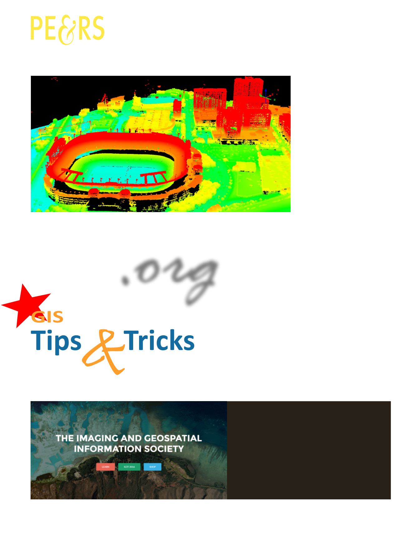
The inaugural column of GIS Tips & Tricks! The purpose of the “GIS Tips and Tricks” is to
highlight some of the common GIS functions that many users may have either forgotten, never
used, or just plain never new existed.
WHAT DO YOU WANT TO DO?
Have you seen the new ASPRS website?


