832
November 2016
PHOTOGRAMMETRIC ENGINEERING & REMOTE SENSING
BOOK
REVIEW
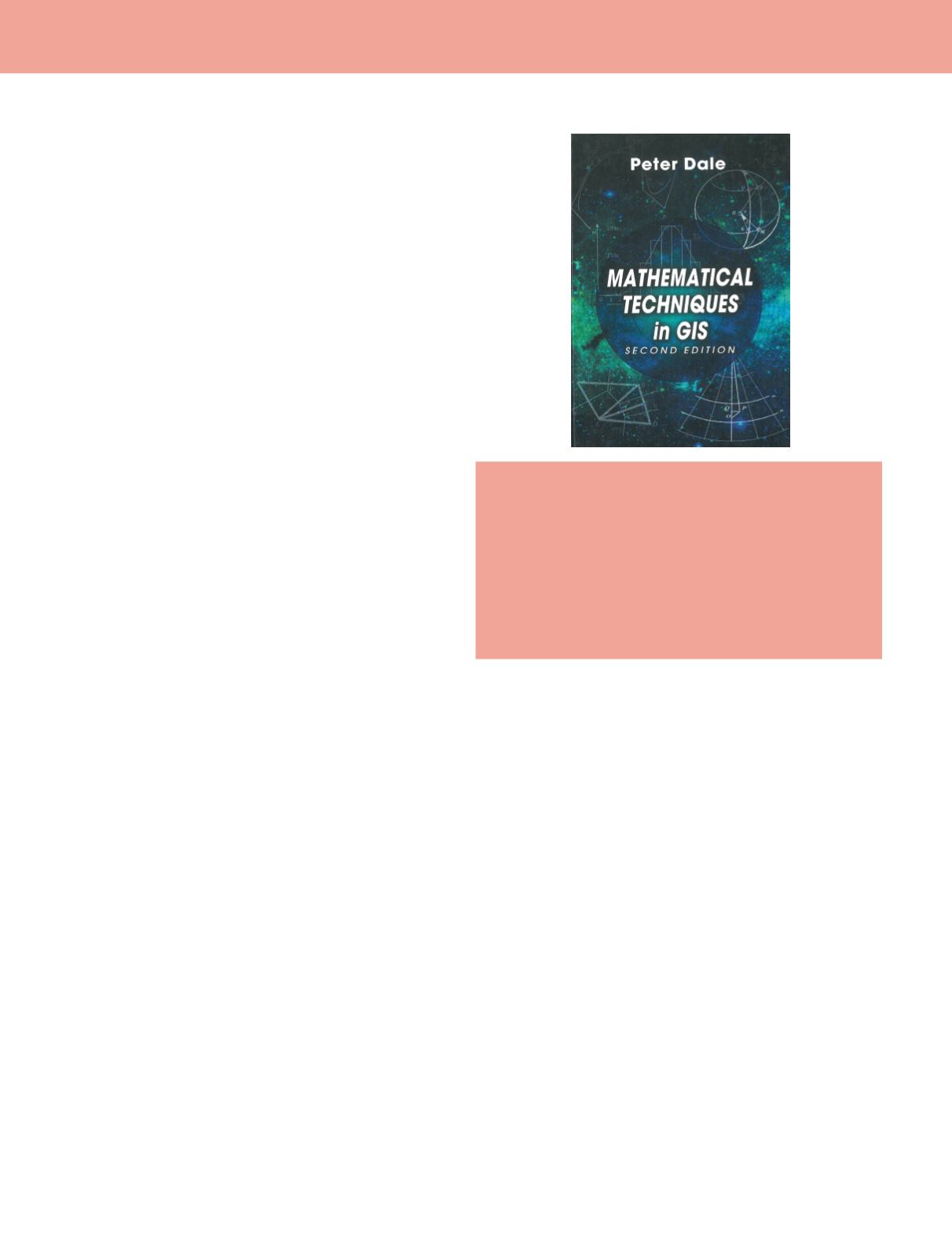
Mathematical Techniques in GIS, 2
nd
Ed.
Peter Dale
CRC Press: Boca Raton. 2014. xxvii and 331 pp., diagrams, index.
Hardcover. $xx.xx. ISBN 978-1-4665-9554-5.
Reviewed by
Kevin M. Curtin, Associate Dean,
College of Science, George Mason University, Fairfax,
Virginia.
The intended purpose of this book and its intended target audience
cannot be more succinctly stated than the author – Peter Dale
– himself does in the opening of the Preface to the First Edition,
“This book has been written for nonmathematicians who wish to
understand some of the assumptions that underlie the manipulation
and display of geographic information”. He goes on to explain in the
Preface to the Second Edition that “Many people wishing to make
use of geographic information systems (GIS) start from a limited
mathematical background”. Many of us who teach courses in GIS –
particularly at the graduate level – know this population very well.
There are many returning students who have found that GIS may
lead to career advancement, or who have latterly discovered a passion
for spatial data or mapping more generally. A nontrivial proportion of
these students may have no formal training in geography, and some
have pursued undergraduate degrees in fields with no significant
focus on mathematical techniques. For those of us training students
in an information science with a strong quantitative foundation, this
is a hurdle to be overcome.
Mathematical Techniques in GIS, 2
nd
ed.
is one tool that can help us do so.
This text proceeds methodically from first mathematical
principles (data types, arithmetic, and algebra) through increasingly
more complex sub-disciplines within mathematics (geometry,
trigonometry, and calculus), turning then to methods that cross
disciplines and support geographic data analysis (matrices, vectors,
curves and surfaces, and transformations and projections). Lastly, a
review of several important statistical techniques is provided in the
final three chapters.
Within this structure that are many elements of the book to be
recommended. Rather than dwelling on issues of data types that don’t
pertain to spatial analyses, the first chapter focuses quickly on spatial
data – particularly coordinates – that have a fundamental influence
on computations such as distance or area. Notions of data structures
(raster v. vector) and the importance of topology are noted. Some
chapters serve more as reference material, such as Chapter 2 where
the rules of arithmetic, binary mathematics, square roots, indices,
and logarithms are covered. This material could be left for students
to review on their own, if necessary. Chapter 3 illustrates a strength
of this text, which later resurfaces as an area for improvement: the
inclusion of explicit spatial analytic examples as demonstrations of
the mathematical concepts. In reviewing algebra, examples are used
that show how to find the intersection of lines, including at a map
sheet edge, and how to determine if a point is contained within a
polygon. These can be directly related tomany commonGIS functions
with which students will likely be familiar. This correspondence
between technique and tool is continued in the following two chapters
when geometric and trigonometric methods – such as computing the
area of a polygon and computing a traverse – are given as examples.
Since the first time I taught with the first edition of this text I found
Chapter 6 to be remarkable. In this chapter Dale collapses what is
essentially the material from two semesters of calculus into 25 pages.
He covers all the major concepts, and still manages to relate some
of the material to spatial analytics. For students who are dreading
anything associated with the word “calculus” this chapter is a
friendly, yet thorough, introduction. Chapter 7 dealing with matrices
and determinants (with new material in this edition) falls slightly
short of its preceding chapters in that an inquisitive student may
find it difficult to relate this material to GIS. While the example of
intersecting lines is revisited, the reasons for using matrix notation
and matrix mathematics in the context of GIS may not be entirely
clear to the intended audience. The same could be said of the
chapters covering vectors and curves and surfaces; the material
is correct and complete, but its association with GIS techniques is
not overtly clear. This is remedied quite thoroughly in the next two
chapters, where transformations and projections are clearly related
to GIS-based analyses. Finally, the review of statistical techniques
could be considered reference material for many students; while
this discussion ends with the topic of spatial autocorrelation, these
chapters do not explicitly cover spatial statistics, and would not be
sufficient for a course covering that subject.
Based on my experience, this text is an effective tool for teaching
fundamental quantitativemethods to its intendedaudience. Thisbook
is most appropriate for a semester-long, graduate-level, quantitative
methods course for any science degree or certificate in Geography,
Geographic Information Systems or Science, or any variant spatially-
focused degree. While an instructor should complement this
material with additional examples, and additional context from GIS
applications, the text itself can serve as an appropriate foundation
for the course, and for the students’ future study of mathematical
techniques.


