PHOTOGRAMMETRIC ENGINEERING & REMOTE SENSING
November 2016
823
PHOTOGRAMME TR I C ENG I NE ER I NG & REMOT E SENS I NG
The official journal for imaging and geospatial information science and technology
November 2016 Volume 82 Number 11
827
Compressed Geospatial Image Asset Handling
with Express Server
By Yun Zhang, Glen Thompson, Don Johnson, and
Jeffrey M. Young
In recent years, the volume and variety of geospatial imagery has skyrocketed.
Not only has the resolution of satellite imagery increased, but so has the
complexity. It is now common for new satellites to capture multispectral
imagery with dozens of bands. Moreover, these improvements have been
matched by the rise of microsatellites and unmanned aerial vehicles, both of
which promise cheaper and more frequent image collection.
FEATURES
.
com
y Al Karlin, Ph.D., CMS, GISP
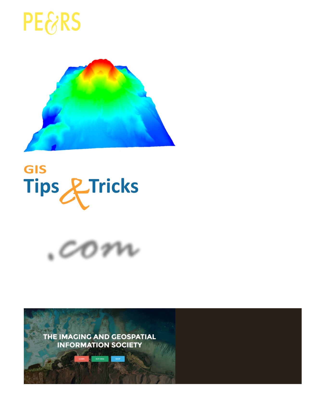
Fixing “Basement Sinks” and updating Digital Terrain Models
By Michael Rosen
All modern commercial geospatial software depends on open source libraries which
are ultimately maintained by the community which uses that software. That community stands to gain
as we support and train within this common infrastructure.
WHAT DO YOU WANT TO DO?
Have you seen the new ASPRS website?


