PHOTOGRAMMETRIC ENGINEERING & REMOTE SENSING
July 2017
471
by
Clifford J. Mugnier, CP, CMS, FASPRS
N
orway was settled in the Middle Stone Age
(
circa 7000 B.C.
), and by the 9
th
century
A.D., the Norse expeditions began which
colonized the islands off Scotland, Ireland, Ice-
land, and Greenland. Trondheim was the Nor-
wegian capital until 1380. Kristiania, founded in
1050, became the capital in the 14
th
century and
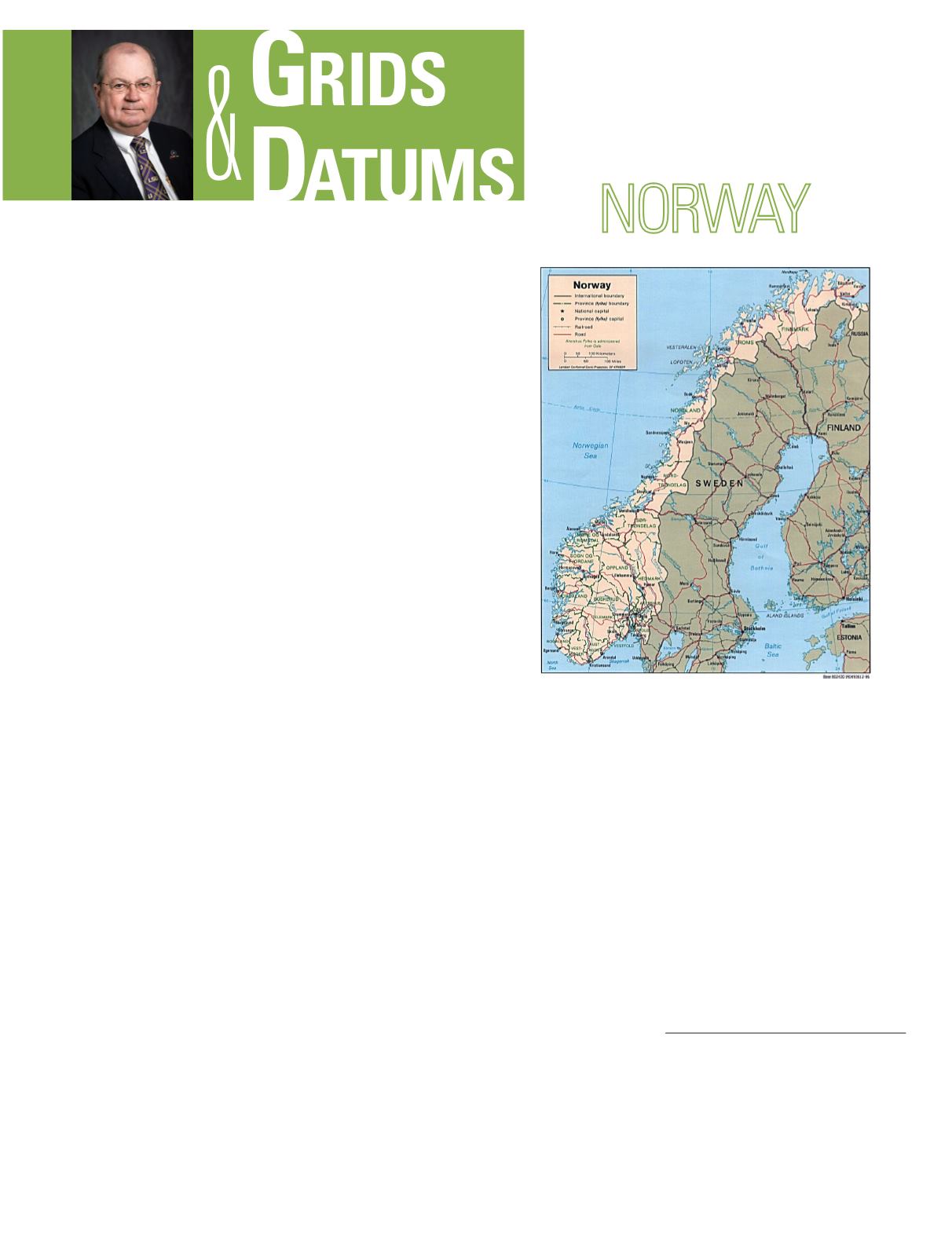
was renamed Oslo in 1924. The Kingdom occupies
the western part of the Scandinavian Peninsula.
It is bounded on the west by the Atlantic Ocean,
on the north by the Arctic Ocean, on the north east
by Russia and Finland, on the east by Sweden,
and on the south by the Skagerrak and Denmark.
Because of the numerous fjords and small coastal
islands, the Kingdom has one of the longest coast-
lines in the world. Norway claims the islands of
Svalbard and Jan Mayen in the Norwegian Sea.
The earliest modern map of Nor-way was the map of Scandi-
navia drawn by Claudius Clavus in Italy about 1425. Several
other maps were compiled of the entire peninsula, but the first
national cartographer of Norway was Melchoir Ramus who
mapped the southern coast from 1689 to 1693. German forest-
ers were employed in the eighteenth century to map the land
resources of the Kingdom after the Scandinavian wars. The
excellent quality of the work and the need for military maps
of Norway after the many years of war with Sweden prompt-
ed the establishment of the Norges Graændsers Oppmåling
(Norwegian Border Sur-vey) on 14 December 1773. Attached
to the military, the initial attempts of the NGO at mapping by
planetable and alidade without basic control were inevitably
deemed unreliable. In January of 1779, General Von Huth di-
rected that subsequent map-ping be based on astronomically
determined points and classical triangulation surveys. Initial
longitude determinations were based on fire signals, gunpow-
der explosions, and pendulum clocks. This was found too in-
accurate, and in the winter of 1779-1780, a baseline was mea-
THE KINGDOM OF
The Grids & Datums column has completed an exploration of
every country on the Earth. For those who did not get to enjoy this
world tour the first time,
PE&RS
is reprinting prior articles from
the column. This month’s article on the Kingdom of Norway
was
originally printed in 1999 but contains updates to their coordinate
system since then.
sured on Lake Storsren using wooden sur-vey bars. By 1784, a
triangulation arc was surveyed between Kongsvinger and Ver-
dal. Additional triangulation work continued, and the survey
was adjusted in 1810. The geographical position of Bergen was
compared to another determination from a triangulation arc
from Lindesnes. The difference in longitude was 9” and that
error was considered satisfactory at the time. From 1791 to
1803 a series of hydrographic charts were published from the
surveys of Lt. F. C. Grove of the Royal Danish Navy. Printed in
Copenhagen from copper plates, the “Grove Charts” were used
for navigation for about 100 years.
A re-organization of surveying and mapping within the gov-
ernment in 1805 combined military and eco-nomic objectives in
the same department. The Norske Topographiske Oppmåling
(Norwegian Topographic Survey, or NTO) passed among sev-
eral ministries including Defense, Interior, Finance, Customs
Photogrammetric Engineering & Remote Sensing
Vol. 83, No. 7, July 2017, pp. 471–473
0099-1112/17/471–473
© 2017 American Society for Photogrammetry
and Remote Sensing
doi: 10.14358/PERS.83.7.471


