PHOTOGRAMMETRIC ENGINEERING & REMOTE SENSING
February 2018
61
by
Clifford J. Mugnier, CP, CMS, FASPRS
B
ased on archaeological evidence, it has been
established that Ghana was inhabited by hu-
mans 300,000 years ago. By 2,000 B.C., do-
mesticated animals such as cattle and guinea fowl
were being raised. Modern Ghana takes its name
from the ancient Kingdom of Ghana, some 800 km
to the north of the present-day capitol of Accra,
which flourished up to the eleventh century A.D. In
1471, the Portuguese arrived at the “
De Costa da el
Mina de Ouro,
” (the Coast of Gold Mines). In 1486,
slaves from Benin were introduced to the port of El-
mina. This was the beginning of the slave trade on
the Gold Coast, and eventually the more profitable
slaves replaced the gold trade. The British Crown
Colony of the Gold Coast received its independence
from England in 1957.
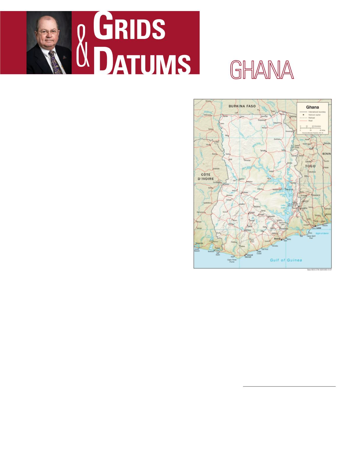
The Republic of Ghana lies on the western coast of trop-
ical Africa. Ghana extends for a maximum of 672 km from
north to south between latitudes 4.5
o
N and 11
o
N, and for 536
km east to west between longitudes 3
o
W and 1
o
E. It is bor-
dered to the west (668 km) by Cote d’Ivoire (Ivory Coast), to
the north (548 km) by Burkina Faso, to the east (877 km) by
Togo, and to the south (539 km) by the Gulf of Guinea and the
Atlantic Ocean.
On May 21, 1929 Capt. J. Calder Wood, M.C. of the Gold
Coast Sur-vey Department wrote: “In June, 1904, observations
for latitude were taken by Capt. F. G. Guggisberg, R.E.(now
Sir F. G. Guggisberg, K.C.M.G., D.S.O., Governor of the Gold
Coast Colony), from a pillar in the com-pound of the house of
the Secretary for Native Affairs in Accra. Fifteen pairs of stars
were observed with a zenith telescope, giving a final proba-
ble error of 0.360˝. This point was subsequently connected by
traverse to the Gold Coast Survey beacon No. 547 in Accra.
The longitude of Accra was determined by the exchange of
telegraphic signals with Cape Town in November and Decem-
ber, 1904, and the resulting longitude of G.C.S. 547 obtained.”
THE REPUBLIC OF
The Grids & Datums column has completed an exploration of
every country on the Earth. For those who did not get to enjoy this
world tour the first time,
PE&RS
is reprinting prior articles from
the column. This month’s article on The Republic of Ghana was
originally printed in 2000 but contains updates to their coordinate
system since then.
“The pillar G.C.S. 547 was connected to the pillar at Lei-
gon, eight miles from Accra, by means of triangulation, and
the resulting values of the Leigon pillar have been adopted
as the basic latitude and longitude for the Colony. Subse-
quent determinations of latitude during the last two years
at points throughout the country which have been accurately
connected with Leigon by triangulation tend to indicate that
the latitude and longitude observations taken at Accra are
seriously influenced by local attraction. The conditions ob-
tained near the Coast do not appear to be reproduced further
inland, and it may happen in course of time, when more data
are avail-able, that a new basic latitude and longitude will
be adopted from in-land observations which will give a better
Photogrammetric Engineering & Remote Sensing
Vol. 84, No. 2, February 2018, pp. 61–63.
0099-1112/17/61–63
© 2018 American Society for Photogrammetry
and Remote Sensing
doi: 10.14358/PERS.84.2.61


