PHOTOGRAMMETRIC ENGINEERING & REMOTE SENSING
October 2019
709
by
Clifford J. Mugnier, CP, CMS, FASPRS
J
apan was inhabited by humans as early as
30,000 B.C. Its written history began in the 5
th
centuryA.D., after it adoptedhandwriting from
the Chinese culture. Buddhismwas introduced circa
552, and Japan closely imitated Chinese institutions
during the sixth to ninth centuries. First visited by
the Portuguese in 1542-43, European influences had
little effect on religion; Shintoists and Buddhists
rep-resent 84 percent of the current population and
Christianity is practiced by less than one percent.
For several hundred years, the Portuguese had far
greater in-fluence than the later English and Dutch
trading companies. Commodore Mathew Perry,
USN, secured the first commercial treaty in 1853.
The “Land of the Rising Sun” is a constitutional
monarchy with a parliamentary government. There
are 47 prefectures. Japan’s independence dates
back to 660 B.C. (traditional founding by Emperor
Jimmu), and its constitution is dated 03 May 1947.
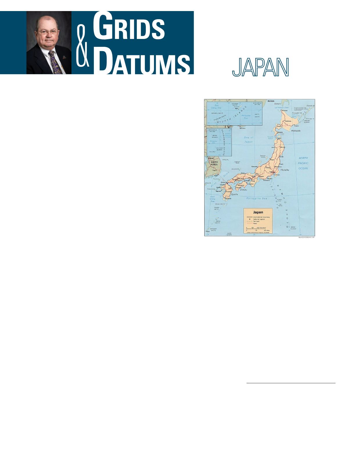
Comprised of four main islands—Honshū, Shikoku,
Kyushu, and Hokkaidō—Japan also includes the Bonin
Islands (Ogasawara-Guntō), Daitō-Shotō, Minami-Jima,
Okino-tori-Shima, Ryukyu Islands (Nansei-Shotō), and
Volcano Islands (Kazan-Rettō). Japan is mostly mountainous;
the lowest point is Hachirō-Gata (lake) at –4 m, the highest
is Fuji-Yama at 3,776 m, and both places are on the island of
Honshū.
In 1869, the Survey Division of the Ministry of Civil Ser-
vices was established. In 1888, the Imperial Land Survey of
the Army General Staff absorbed the Survey Division and
carried out the fundamental surveying and mapping of the
entire Japanese Empire. The Tokyo Datum of 1892 was es-
tablished at the Azabu origin where Φ
o
= 35º 39´ 17.5148˝
North and Λ
o
= 139° 44´ 30.097˝ East of Greenwich. The de-
fining azimuth was deter-mined from the old Tokyo Observa-
tory at Azabu to station Kanou-Yama (Kanou Mountain) as
The Grids & Datums column has completed an exploration of
every country on the Earth. For those who did not get to enjoy this
world tour the first time,
PE&RS
is reprinting prior articles from
the column. This month’s article on Japan was originally printed in
2002 but contains updates to their coordinate system since then.
α
o
= 156° 25´ 28.442˝. The Tokyo Datum of 1892 was refer-
enced to the Bessel 1841 ellipsoid where the semi-major axis
(
a
) = 6,377,397.155 meters and the reciprocal of flattening (
1
/
f
)
= 299.1528128. The pervasive Tokyo Datum of 1918 reflect-
ed a new determination of longitude at Azabu Observatory
such that the origin was re-defined as Φ
o
= 35º 39´ 17.5148˝
North and Λ
o
= 139° 44´ 40.5020˝ East of Greenwich. The ori-
entation was not changed, and the deflection of the vertical at
the observatory was defined to be nil. The ellipsoid height of
mean sea level in Tokyo Bay was defined to be –24.414 m. For
military use, the Japanese Imperial Land Survey (JILS) used
a conformal double transverse Mercator grid known as the
Gauss-Schreiber Transverse Mercator grid from about 1892
to 1921. (That’s the same formulae that the U.S. Coast & Geo-
detic Survey chose for the TM zones on the North American
Datumof 1927.) Themultiple belt systemdefined the East Belt
origin as
j
o
= 36º 03´ 34.9523˝ N and
λ
o
= 139° 44´ 40.5020˝ E,
Photogrammetric Engineering & Remote Sensing
Vol. 85, No. 10, October 2019, pp. 709–711.
0099-1112/19/709–711
© 2019 American Society for Photogrammetry
and Remote Sensing
doi: 10.14358/PERS.85.10.709


