PHOTOGRAMMETRIC ENGINEERING & REMOTE SENSING
April 2020
199
PHOTOGRAMME TR I C ENG I NE ER I NG & REMOT E SENS I NG
The official journal for imaging and geospatial information science and technology
April 2020 Volume 86 Number 4
PEER-REVIEWED ARTICLES
Xinming Tang, Changru Liu, Ping Zhou, Ning Cao, Fengxiang Li,
and
Xia Wang
An important and difficult point in the application of satellite imagery is refining the
positioning model and improving the geometric accuracy. In this article, we focus on
improvement in geometric accuracy and develop a new rational function model (RFM)
refinement method.
Gaofei Yin, Ainong Li, Zhengjian Zhang,
and
Guangbin Lei
Time series of leaf area index (LAI) products are now widely used, and the temporal
validation is the prerequisite for their proper application. However, a systematical
comparison between different products using both direct and indirect methods
is still lacking. The objective of this paper is to assess and compare the temporal
performances of four LAI products: Moderate Resolution Imaging Spectroradiometer
(MODIS) LAI (MOD)15A2, MOD15A2h, Geoland2 Version 1 (GEOV1), and Global Land
Surface Satellite (GLASS).
Ka Zhang, Hui Chen, Wen Xiao, Yehua Sheng, Dong Su,
and
Pengbo Wang
This article proposes a new building extraction method from high-resolution remote
sensing images, based on GrabCut, which can automatically select foreground and
background samples under the constraints of building elevation contour lines.
Bo Wu, Fei Li, Han Hu, Yang Zhao, Yiran Wang, Peipei Xiao, Yuan Li, Wai Chung Liu, Long
Chen, Xuming Ge, Mei Yang, Yingqiao Xu, Qing Ye, Xueying Wu,
and
He Zhang
The Chinese lunar probe Chang’E-4 successfully landed in the Von Kármán crater on the far
side of the Moon. This article presents the topographic and geomorphological mapping and
their joint analysis for selecting the Chang’E-4 landing site in the Von Kármán crater.
linkedin.com/groups/2745128/profile
COLUMNS
ANNOUNCEMENTS
Join us in welcoming our newest members to ASPRS.
DEPARTMENTS
The Challenges and Joys of Mapping
America’s Last Frontier
An interview with Dr. Dave Maune, Project Manager
for Alaska Statewide IfSAR Mapping
FEATURE
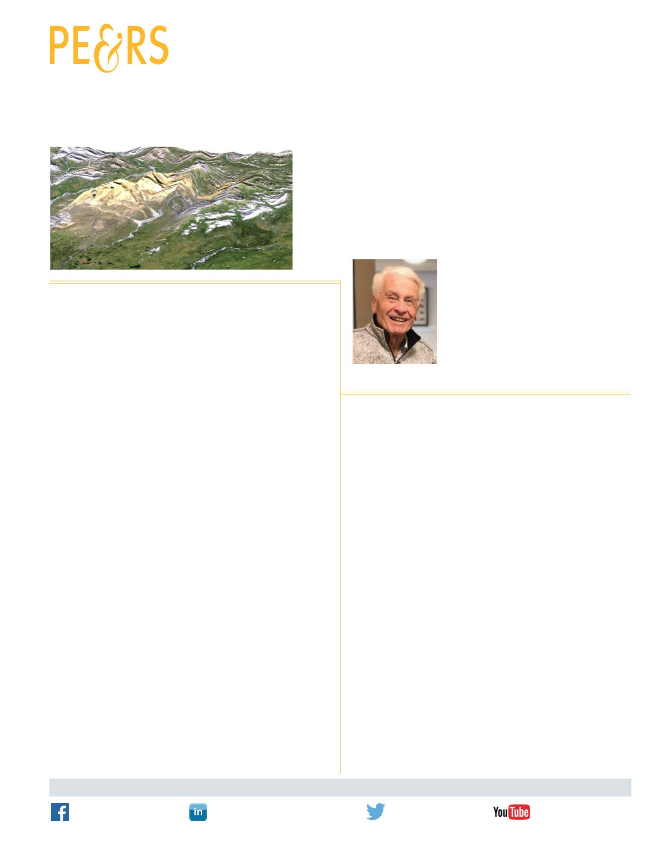
In Memoriam—
Hans J. Wehrli


