PHOTOGRAMMETRIC ENGINEERING & REMOTE SENSING
April 2020
201
Broughttoyouby:
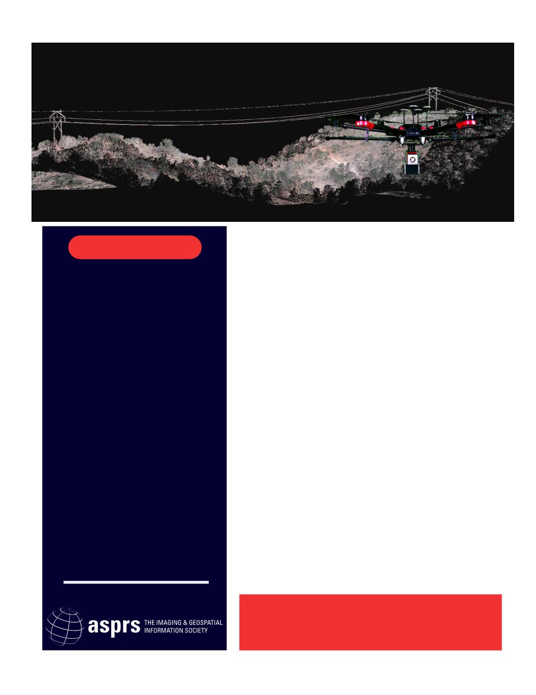
HIGH-ACCURACY
UAS MAPPINGWORKSHOP
Standards, Principles, and Best Practices
AUVSI XPONENTIAL
May 4 - 7, 2020 | Boston, MA
Are you frustrated by not achieving the results your surveyor or
engineering client expects, despite your investment in drone
technology? If you are like many entrepreneurs in this industry,
you started with a drone and a basic camera and ran into
problems with hardware performance, digital product accuracy,
and lack of good data in areas of heavy vegetation.
To learn basic principles and to avoid missing out on the latest
technology advances, you may bene t from having someone
explain system design, best practices, and quality control
processes step-by-step, in simple terms, without a lot of
equations and complicated jargon.
The ASPRS High-Accuracy UAS Mapping Workshop provides you
the opportunity to hear from geospatial professionals with years
of practical experience who are now working on the “bleeding
edge”, using UAS to produce accurate products that meet client
expectations.
ASPRS has been leading the world for over 80 years, advancing
standards in photogrammetry, mapping and remote sensing and
providing certi cation for practitioners who have the right skills
and a proven track record. ASPRS can help you achieve the
results you and your clients are looking for.
WHAT YOU'LL LEARN
DISCOVER ALL THE DETAILS
• Howdoprofessionals assure the
qualityandaccuracyof their results?
• What isphotogrammetryandwhy is it
important?
• What arebestpractices formapping
withdrone imagery inavarietyof use
cases?
• Whenyoushoulduseyou
drone-based lidar?
• What arebestpractices formapping
withdrone lidar inavarietyof use
cases?
• What circumstances favormapping
withdronesover conventional
platforms?


