PHOTOGRAMMETRIC ENGINEERING & REMOTE SENSING
December 2014
1087
PHOTOGRAMME TR I C ENG I NE ER I NG & REMOT E SENS I NG
The official journal for imaging and geospatial information science and technology
December 2014 Volume 80 Number 12
H I GHL I GHT ART I C L E
Bruce K. Quirk
and
Michael E. Hutt
PROF ESS I ONAL I NS I GHT—AN I NT ERV I EW
PE ER - REV I EWED ART I C L ES
Craig Stringham
and
David G. Long
The development of a stripmap SAR backprojection processor that addresses the
geometries and motion typical of UAS-based SAR systems and achieves real-time
processing using a GPU.
Julien Li-Chee-Ming
and
Costas Armenakis
A novel localization approach for small unmanned aerial systems in urban areas based
on matching video images with 3D models.
Vengatesan Govindaraju, Gerard Leng,
and
Zhang Qian
A novel method to determine the near-optimal flight paths for Multiple UAVs to
conduct an effective surveillance over forested regions, using the DEM and land cover
information.
Bushra Zaman, Austin Jensen, Shannon R. Clemens,
and
Mac McKee
Spectral reflectance retrieval of UAV AggieAir™ imagery.
Chuyuan Wang, Kevin P. Price, Deon van der Merwe, Nan An,
and
Huan Wang
Modeling and predicting tallgrass above-ground biomass can be accomplished using
ultra-high spatial resolution imagery collected by small unmanned aircraft systems.
Stuart M. Adams, Marc L. Levitan,
and
Carol J. Friedland
Review and case study of unmanned aircraft systems (UAS) usage for high
resolution imagery collection for post-disaster studies.
APPLICATIONS
PAPER
COLUMNS
ANNOUNCEMENTS
ASPRS 2015 Annual Conference
Call for Papers
ASPRS Code of Ethics
DEPARTMENTS
Region News
Advances in Unmanned
Aircraft Systems
Technology and
Applications
is the focus
of this
PE&RS
special
issue. Successful military
application of Unmanned
Aircraft Systems (UAS)
technology to perform
intelligence, surveillance
and reconnaissance has
ignited the interest of
the civil, commercial
and academic remote
sensing communities
in the research and operational applications of these
technologies. This special issue of
PE&RS
focuses on
UAS technology and the current and future applications
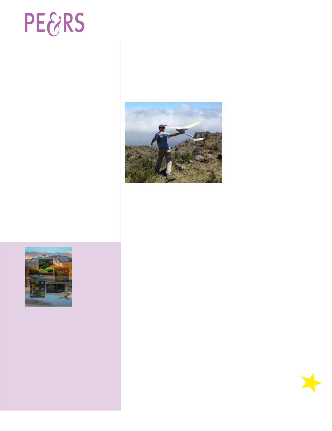
of UAS. The cover represents a possible future scenario
where multiple UAS acquire different types of data
through different sensors – one UAS performs terrain
mapping with a lidar sensor, another is collecting forestry
data and also detects a fire, the third is gathering
water quality and flow information and the final UAS
is monitoring wildlife. These data can be shared and
integrated with other geospatial data to answer many
types of scientific inquiries.


