PHOTOGRAMMETRIC ENGINEERING & REMOTE SENSING
February 2016
79
I
ntroduction
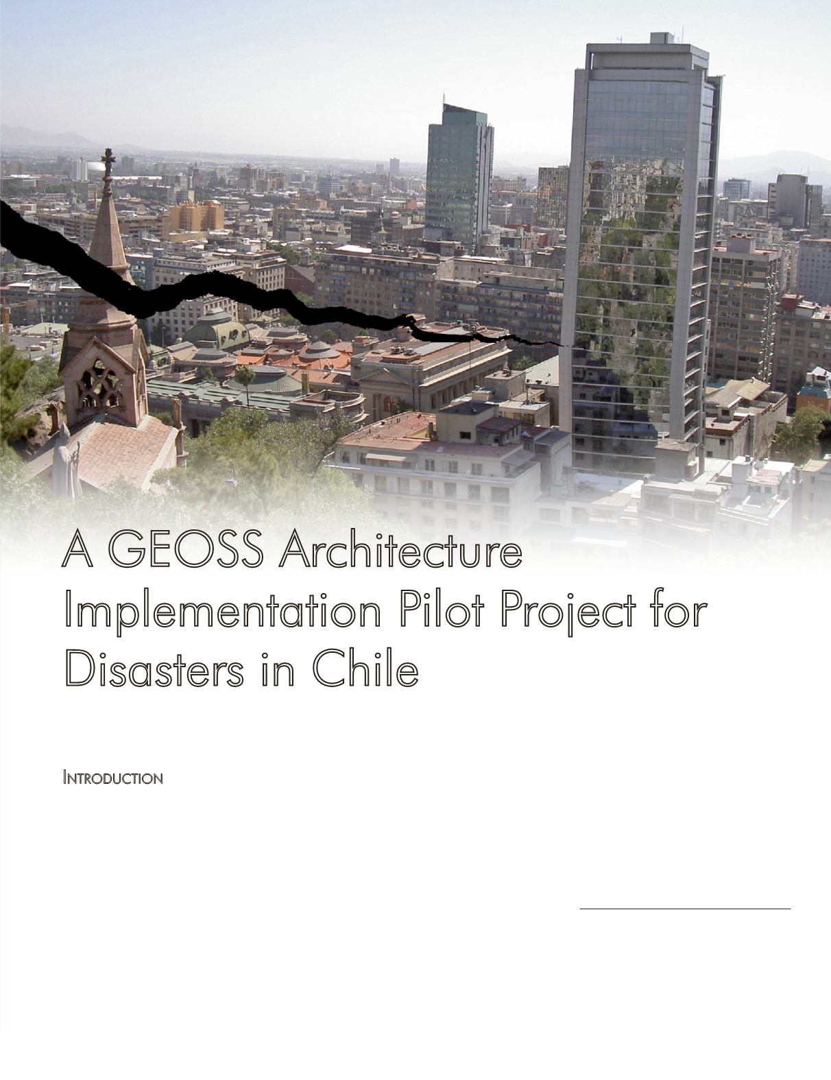
On May 22, 1960, a 9.5-magnitude earthquake, the largest
ever recorded, occurred off the coast of Chile. On September
16, 2015 Chile was again struck by a 8.3-moment magnitude
earthquake. In 2013, 22 million people worldwide were dis-
placed due to natural disaster events (IDMC, 2014). These di-
sasters have a tremendous impact on the lives of the poorest
of the poor, who often are not prepared to cope with natural
hazards. For them, a hurricane, an earthquake, a tornado, or
a drought, may involve the deepening of their already precar-
ious situation. Figure 1 (UN SPIDER, 2013), documents how
loss of life and property due to disasters is increasing glob-
ally. Figure 2 (German Indonesian Tsunami Early Warning
A GEOSS Architecture
Implementation Pilot Project for
Disasters in Chile
By Lucia Lovison, Luciano Parodi, Alvaro Monett, Pablo Dueñas, Stuart Frye,
Stefano Nativi, and Mattia Santoro
System or GITEWS, 2015) shows how a framework of Earth
observations and information derived from both space and
in-situ
networks can support national and local first respond-
ers and provide effective tools to rapidly map injuries, dam-
ages and identify possible safe areas.
Photogrammetric Engineering & Remote Sensing
Vol. 82, No. 2, February 2016, pp. 79–85.
0099-1112/16/79–85
© 2015 American Society for Photogrammetry
and Remote Sensing
doi: 10.14358/PERS.83.2.79


