472
July 2016
PHOTOGRAMMETRIC ENGINEERING & REMOTE SENSING
BOOK
REVIEW
GIS Tips & Tricks
ROS probes, Chapter 13, bringing cellular and sub-cellular
level studies to the new level.
The final chapters of the book focus on the analysis of root
growth using imagery data, Chapter 14, imaging methods,
like fluorescence in situ hybridization and 3D analysis,
used for investigation of detailed structure and functions
of chromosomes and nuclei, Chapter 15, and application of
machine vision in estimation of fruit crop yield prior to harvest,
Chapter 16, which guides growers in their management
interventions.
As with the previous method, this file is temporary. To make
it permanent, use the
Export
tool, as previously described.
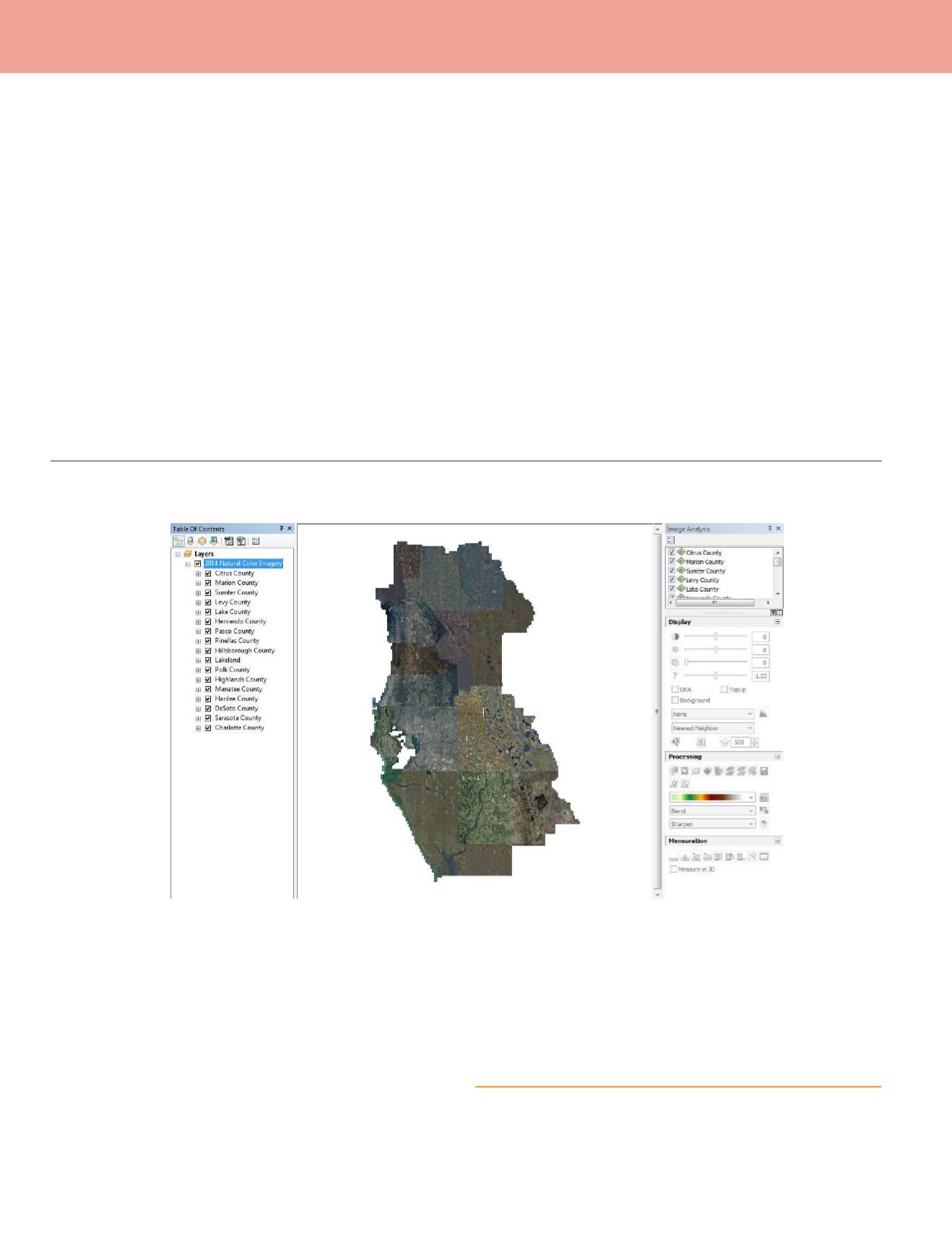
For the descriptions above, I started with a single original im-
age file, but here at the Southwest Florida Water Management
District, we maintain all of our imagery in Esri Raster Cata-
logs (by county) and group those catalogs into Esri Layer files
which are served to end-users through our Enterprise SDE
database. The Clipping tools and functions described here
work the same way with imagery in those Raster Catalogs and
served through the Esri layerfiles, Figure 12.
The authors made an enormous effort to put all presented
information together in well-thought and structured manner.
The color inserts allow reader to get the big understanding of
the overall imaging idea in plant analysis, while the specific
examples and case-studies support and explain in much detail
the topic of each chapter, guiding the reader through the
numerous pros and cons of each described technique and make
this book the valuable source of both theoretical information
and practical advices from the pioneers and world renowned
experts.
When working with images from Raster Catalogs, notice that
the entire catalog is referenced in the Image Analysis Tool
Menu. So, you must be very careful to select the proper cat-
alog for the tool(s) to act upon. I’ll address the Normalized
Difference Vegetative Index (NDVI) functions in the next Tips
& Tricks column.
Alvan Karlin, Ph.D., CMS, GISP is with the Southwest Florida
Water Management District where as the Senior GIS Scientist,
he directs the District’s LiDAR data collection missions.
Figure 12.


