172
March 2016
PHOTOGRAMMETRIC ENGINEERING & REMOTE SENSING
COLUMNS
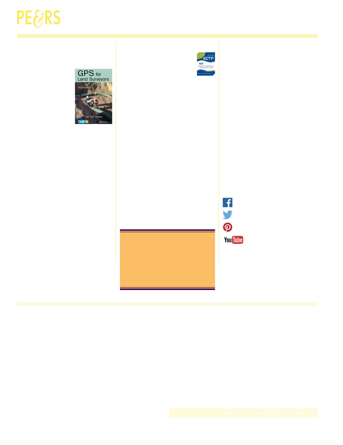
GPS or GNSS are essential
among practitioners in land
surveying and related geospatial
engineering fields. GPS surveying
has many advantages, offering
a longer operation range and
does not require a direct line of
site. It is an alternative, often a
compliment to other methods in
land surveying. However, many
practitioners do not feel well prepared to apply GNSS
technologies, either because the concepts seem too
complicated or they might have limited exposures to the
fundamentals. GPS for Land Surveyors, 4th edition, is an
excellent reference for students, professionals or anyone
who has interest in GNSS technologies
The original geodetic surveys of Canada were computed
on the Bessel 1841 ellipsoid. In 1880, when the U.S.
Coast & Geodetic Survey chose to adopt the ellipsoid
that had been published by Colonel A. R. Clarke of the
British Royal Engineers
in 1866 for North America,
it was only logical for Canada to adopt the same
ellipsoid.
NGA Announces the 2017 Summer Internship Program.
Charles Smith, 1950-2015.
Models
John W. Coulston, Christine E. Blinn, Valerie A. Thomas,
and
Randolph H. Wynne
A resampling framework to examine uncertainty associated with random forest models.
Bonnie Ruefenacht
An evaluation of the effectiveness of using univariate median, maximum NDVI, and
model II regression Landsat-5 TM composites to model percent tree canopy cover.
Ahmad Izadipour, Behzad Akbari, and Barat Mojaradi
A new feature selection method for segmentation of very high-resolution satellite images.
Jay M. Vincelli, Fatih Calakli, Michael A. Stone, Graham E. Forrester, Timothy D. Mellon,
and
John D. Jarrell
Underwater, obscured crash debris from Amelia Earhart’s purported crash site was
identified to be consistent with components from her aircraft using validated video and
image processing techniques in a retrospective analysis of poor quality video.
PEER-REVIEWED ARTICLES
MARCH 2016
ANNOUNCEMENTS
Registration Now Open!
GeoBytes has been so successful that we are doing them
again in 2016. Checkout the 2016 schedule of GeoByte
Webinars.
This years challenge will celebrate the 100th Anniversary
of the National Park Service.
New Region Officers for the Pacific Southwest, Western
Great Lakes, and Potomac Regions.
Record Number of Hands-on Workshops for IGTF 2016!
Join us in welcoming our newest members to ASPRS.
DEPARTMENTS
Stand Out From the Rest! Newly certified and re-certified
professionals.
Is your contact information current?
Contact us at
or log on to
to update your information.
We value your membership.
Be a part of ASPRS Social Media:


