264
April 2017
PHOTOGRAMMETRIC ENGINEERING & REMOTE SENSING
by
Clifford J. Mugnier, CP, CMS, FASPRS
M
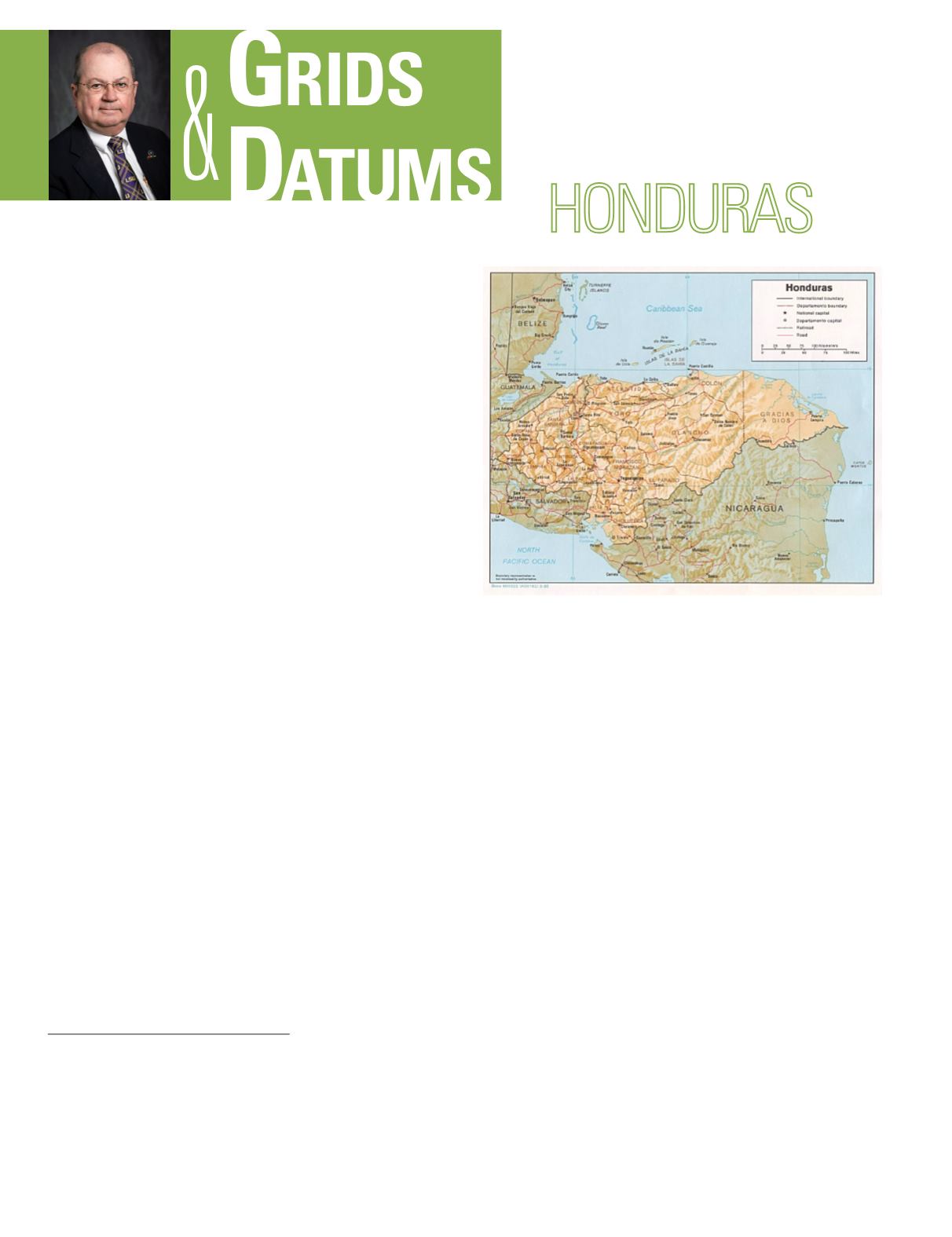
aya settlement at Copán in western
Honduras is evident from 1000 BC. Co-
lumbus first set foot on the American
mainland at Trujillo in northern Honduras in
1502, and named the country after the deep water
off the Caribbean coast. (“Hondo” means “depths”
in Spanish.) Comayagua was established as the
capital in the cool highlands of central Honduras
in 1537, and remained the political and religious
center of the country until Tegucigalpa (Lempira
Indian language for “silver mountain”) became the
capital in 1880. Honduras gained independence
from Spain in 1821. It was briefly part of indepen-
dent Mexico, but then declared independence as
a separate nation in 1838. It shares borders with
Guatemala, El Salvador, and Nicaragua.
The northern coast is on the Caribbean Sea and the
country’s only exit to the Pacific Ocean to the south is through
the Gulf of Fonseca, a condominium water body shared with
El Salvador and Nicaragua. The Nicaragua-Honduras border
crosses the Central American isthmus at its widest part and
is 917 km (573 miles) long. Continuing disputes between the
two nations led to the submission of the problem to the King
of Spain for arbitration in 1906. The matter was temporarily
resolved, but no surveying or mapping of the border was
performed at that time. The oldest known map, called “Mapa
Español Oficial” (Official Spanish Map), was compiled in
1527 by Fernando Colón, the son of Admiral Christopher
THE REPUBLIC OF
The Grids & Datums column has completed an exploration of
every country on the Earth. For those who did not get to enjoy this
world tour the first time,
PE&RS
is reprinting prior articles from
the column. This month’s article on the Republic of Honduras was
originally printed in 1999 but contains updates to their coordinate
system since then.
Columbus. Prominent features were mapped on the northern
coast, but little detail of the country’s interior was shown.
The first complete map of Honduras was by Professor Jesus
Aguilar Paz, a pharmacist and cartographer. In 1915, he
undertook the labor to produce an adequate map for use in
the country’s schools without official support. The map was
compiled at a scale of 1:500,000, and is extraordinarily exact
when the method of compilation (no geodetic control) is taken
into consideration. The professor published his map in 1933.
The Guatemala-Honduras boundary is 256 km (160 miles)
long and extends between the Caribbean Sea and the tri-
point with El Salvador on Cerro Monte Cristo (mountain).
That tri-point in Honduras is in the Departamento de
Ocotepeque (state or province). Boundary disputes between
Honduras and Guatemala began shortly after the dissolution
of the Federation of Central America in 1843. In accordance
with the terms of the Treaty of Arbitration that was signed
in Washington in 1930, the disputed line was submitted to
the Chief Justice of the United States for a decision on the
delimitation of the boundary. Because available topographic
data were inadequate for the boundary work in many of the
disputed areas, the Tribunal directed the making of an aerial
photogrammetric survey. Chief Justice Hughes appointed
Sidney H. Birdseye of the U.S. Coast & Geodetic Survey
(USC&GS) as Chief of the boundary demarcation commission
after Mr. Birdseye completed the photogrammetric mapping
Photogrammetric Engineering & Remote Sensing
Vol. 83, No. 4, April 2017, pp. 264–266.
0099-1112/17/264–266
© 2017 American Society for Photogrammetry
and Remote Sensing
doi: 10.14358/PERS.83.4.264


