10
January 2018
PHOTOGRAMMETRIC ENGINEERING & REMOTE SENSING
by
Clifford J. Mugnier, CP, CMS, FASPRS
T
he Chinese civilization spread originally
from the Yellow River valley where it proba-
bly existed beginning from around 3000
B.C.
he first valid historical evidence is of the Chou
Dynasty (1122-255
B.C
.). For most of its 3,500
years of history, China led the world in agricul-
ture, crafts, and science. It fell behind in the 19
th
century when the Industrial Revolution gave the
West superiority in military and economic affairs.
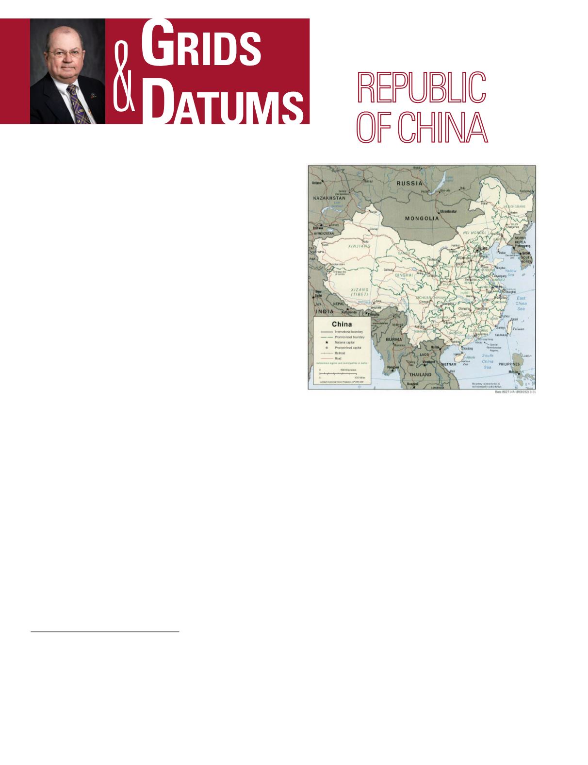
China is composed of mostly mountains, high pla-
teaus, and deserts in the west; plains, deltas, and
hills in the east. The lowest point is Turpan Pendi
at 154 m (505 ft); the highest is Mount Everest at
8,848 m (29,029 ft).
China has 23 provinces, 5 autonomous regions, and 4 mu-
nicipalities for its administrative divisions. Note that China
considers Taiwan as its 23rd province, and it has recently
acquired two other special administrative regions: the Brit-
ish Colony of Hong Kong (
PE&RS
, January 1998), and the
Portuguese Colony of Macau.
The father of scientific cartography was Pei Hsiu (224-
271
A.D
.). In 1707-1717, Emperor K’anghsi commissioned a
group of Jesuits to carry out a survey of the Chinese Empire.
In 1902, the Manchu government established the Military
Survey Institute and a 1:1,000,000 map series was planned.
By 1911, the revolution changed the political horizons, and
no noticeable progress was made until 1927 when the first
modern series of geodetic surveys were performed by the mil-
itary until the Sino-Japanese war of 1937-1945. In 1928, the
THE PEOPLE’S
The Grids & Datums column has completed an exploration of
every country on the Earth. For those who did not get to enjoy
this world tour the first time,
PE&RS
is reprinting prior articles
from the column. This month’s article on The People’s Republic
of China was originally printed in 2000 but contains updates to
their coordinate system since then.
Central Bureau of Land Survey (CBLS) under the Army Gen-
eral Staff was formed. First-Or-der triangulation began in
1929 in Chekiang Province. In 1930, the CBLS organized the
first training class in photogrammetry in Nan-king. In 1931,
large-scale triangulation projects were also started in Anh-
wei, Hunan, Hupeh, Kiangsi, and Kiangsu provinces. That
same year CBLS started flying aerial photography with one
airplane, and by 1935 it was using seven airplanes with cam-
eras using 135 mm and 210 mm focal length lenses.
The Japanese established the Manchurian Principal
System (Datum) of 1933 at the origin point, Huan-his-ling
(Shinkyo) where: Φ
o
= 43° 49´ 36.62˝ North, Λ
o
= 125° 18´
15.42˝ East of Greenwich, and the defining azimuth to station
Ta-hei-shan is α
o
= 204° 46´ 54.497˝. Of course, accord-ing
to Japanese tradition established with the Tokyo Datums of
1892 and 1918, the Bessel ellipsoid of 1841 was referenced
where the semi-major axis (a) = 6,377,397.155 meters and
the reciprocal of flattening (
1
/
f
) = 299.1528128. (See Grids
and Datums on Korea in the November 1999
PE&RS
.) Back
in June of 1980, Frank Kuwamura of the Defense Mapping
Agency wrote to me and offered that, “If we denote the Tokyo
Datum of 1918 with a “T” subscript, and the Manchurian
System of 1933 with a “M” subscript, then
f
T
=
f
M
+
f
´ and λ
T
= λ
M
+ λ´, where
f
´ = –8.8386˝ + 0.00430
Δ
f
• 10
-4
– 0.43463
Δ
l
• 10
-4
+ 0.00001
Δ
f
2
• 10
-8
+ 0.00021
Δ
f
Δ
l
• 10
-8
+ 0.01041
Δ
l
2
• 10
-8
+ 0.0017
Δ
l
3
• 10
-12
, and
l
´ = 17.8824˝ + 0.82927
Δ
f
Photogrammetric Engineering & Remote Sensing
Vol. 84, No. 1, January 2018, pp. 10–13.
0099-1112/17/10–13
© 2017 American Society for Photogrammetry
and Remote Sensing
doi: 10.14358/PERS.84.1.10


