
NOW AVAILABLE
Digital Elevation Model Technologies and Applications
The DEM Users Manual 3rd Edition.
The 3rd edition of the DEM Users Manual includes 15 chapters and three appendices. References in the eBook version are hyperlinked. Chapter and appendix titles include:
- Introduction to DEMs
David F. Maune, Hans Karl Heidemann, Stephen M. Kopp, and Clayton A. Crawford - Vertical Datums
Dru Smith - Standards, Guidelines & Specifications
David F. Maune - The National Elevation Dataset (NED)
Dean B. Gesch, Gayla A. Evans, Michael J. Oimoen, and Samantha T. Arundel - The 3D Elevation Program (3DEP)
Jason M. Stoker, Vicki Lukas, Allyson L. Jason, Diane F. Eldridge, and Larry J. Sugarbaker - Photogrammetry
J. Chris McGlone and Scott Arko - IfSAR
Scott Hensley and Lorraine Tighe - Airborne Topographic Lidar
Amar Nayegandhi and Joshua Nimetz - Lidar Data Processing
Joshua M. Novac - Airborne Lidar Bathymetry
Jennifer Wozencraft and Amar Nayegandhi - Sonar
Guy T. Noll and Douglas Lockhart - Enabling Technologies
Bruno M. Scherzinger, Joseph J. Hutton, and Mohamed M.R. Mostafa - DEM User Applications
David F. Maune - DEM User Requirements & Benefits
David F. Maune - Quality Assessment of Elevation Data
Jennifer Novac
Appendix A. Acronyms
Appendix B. Definitions
Appendix C. Sample Datasets
This book is your guide to 3D elevation technologies, products and applications. It will guide you through the inception and implementation of the U.S. Geological Survey’s (USGS) 3D Elevation Program (3DEP) to provide not just bare earth DEMs, but a full suite of 3D elevation products using Quality Levels (QLs) that are standardized and consistent across the U.S. and territories. The 3DEP is based on the National Enhanced Elevation Assessment (NEEA) which evaluated 602 different mission-critical requirements for and benefits from enhanced elevation data of various QLs for 34 Federal agencies, all 50 states (with local and Tribal input), and 13 non-governmental organizations.
The NEEA documented the highest Return on Investment from QL2 lidar for the conterminous states, Hawaii and U.S. territories, and QL5 IfSAR for Alaska.
Chapters 3, 5, 8, 9, 13, 14, and 15 are “must-read” chapters for users and providers of topographic lidar data. Chapter 8 addresses linear mode, single photon and Geiger mode lidar technologies, and Chapter 10 addresses the latest in topobathymetric lidar. The remaining chapters are either relevant to all DEM technologies or address alternative technologies including photogrammetry, IfSAR, and sonar.
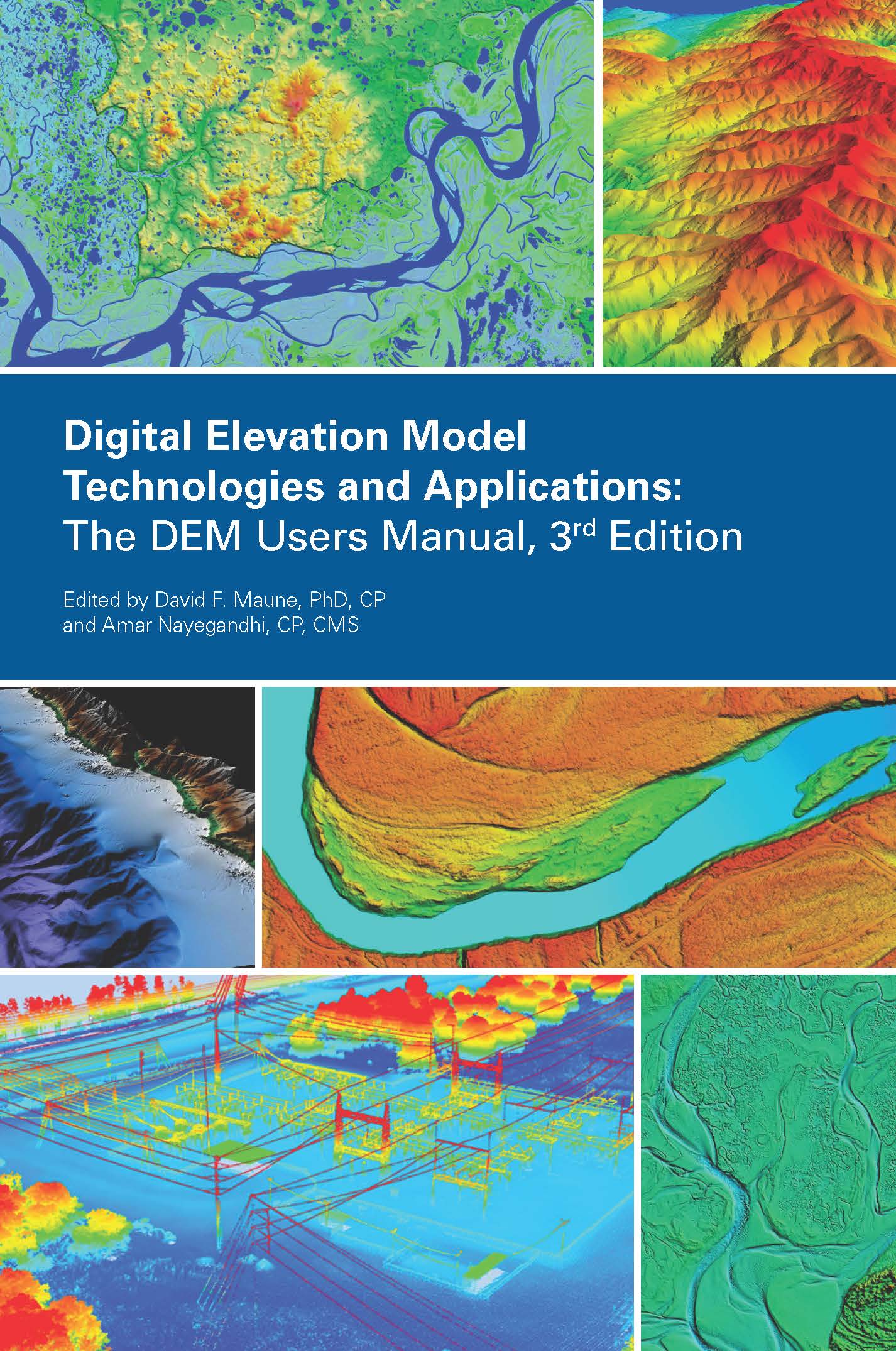
As demonstrated by the figures selected for the front cover of this manual, readers will recognize the editors’ vision for the future – a 3D Nation that seamlessly merges topographic and bathymetric data from the tops of the mountains, beneath rivers and lakes, to the depths of the sea.
Co-Editors
David F. Maune, PhD, CP and
Amar Nayegandhi, CP, CMS
PRICING
| Student (must submit copy of Student ID) |
$50 +Shipping and Handling |
| Member | $80 +Shipping and Handling |
| Non-member | $100 +Shipping and Handling |
| E-Book | $85 +Shipping and Handling |