1028
November 2014
PHOTOGRAMMETRIC ENGINEERING & REMOTE SENSING
INDUSTRY
NEWS
GeoGofer was designed to streamline the process of finding,
organizing, and tracking geospatial imagery. To that end,
GeoGofer comes with powerful search and filter features that
can be used to find imagery by keyword, by projection, by file
format and more.
With GeoGofer, users can browse all of their imagery on a
single map, tag images for later use, and perform powerful
queries using simple tools. Users can search by modification
date, by number of bands, or by resolution to find the imagery
they need—when they need it.
GeoGofer integrates fully with Esri technology. GeoGofer
uses an existing ArcGIS Online subscription to store and
query image information. Additionally, if users have ArcMap
installed on the same machine that runs GeoGofer, they can
open images directly in ArcMap.
More product information can be found at
.
com/geogofer.
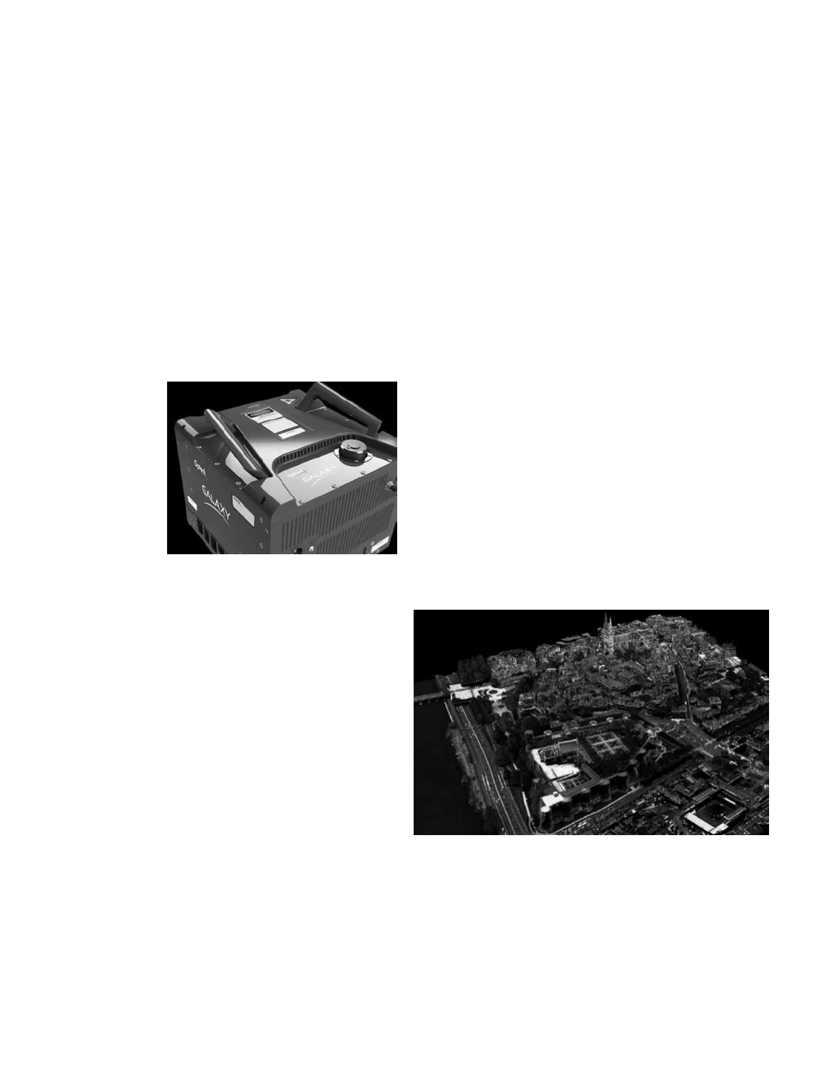
Optech
is pleased
to announce the
latest addition to
its innovative line
of airborne laser
terrain mappers,
the ALTM Galaxy.
Galaxy is a leap
forward in produc-
tivity and technol-
ogy innovation that
raises the bar in
sensor capability. Boasting a similar compact form factor to
the award-winning ALTM Orion sensor platform for Tier-II
UAV, heli-pod, gyro-stabilized or fixed-platform installations,
the new ALTM Galaxy maintains the same exceptional sur-
vey-grade data precision and accuracy for the highest quality
data sets in the industry.
Central to Galaxy‘s performance capability is its innovative,
high-productivity PulseTRAK™ technology. PulseTRAK’s™
unique features directly address key industry demands
and limitations associated with current sensor offerings.
PulseTRAK™ technology enables a truly continuous operating
envelope that solves the challenge of coverage gaps and
density variation in the multipulse transition/blind zones;
up to 8 returns per emitted pulse without the need for
voluminous waveform capture, which eliminates the storage
and processing burden previously required for increased
vertical density; a new robust scanner design that significantly
increases scan velocity and scan product for improved
point distribution at higher sample rates and dramatically
increases point density at lesser FOVs; a new swath-tracking
mode that dynamically maintains a fixed swath width and
consistent point distribution despite changes in altitude and/
or terrain variation; and a realtime sensor protocol for in-air
target detection confirmation, true coverage verification, and
immediate LAS file deliverables.
Other key features in the ALTM Galaxy include a unique,
realtime atmospheric point inhibitor for exceptionally clean
raw data; a wider 60° FOV for larger area coverage rates; and
a ground-pounding 550-kHz pulse repetition frequency that
competes at the same altitudes as many larger multi-beam
sensors for maximum collection efficiency and point density.
For further information, please contact your Regional Sales
Manager.
Optech
Incorporated is pleased to announce the release
of its Lidar Mapping Suite (LMS) for airborne and mobile
workflows, Optech LMS 3.0. Optech LMS 3.0 represents
a major advancement for users of Optech ALTM, Lynx and
digital imaging product lines for high-precision surveying
applications. For the first time ever, a major sensor
manufacturer has incorporated complete camera boresight
and calibration capability within the same workflow as that
of airborne and mobile lidar. This merging of complementary
active and passive imaging technologies is a leap forward
in processing productivity, with the opportunity to generate
truly coincident datasets within a single workflow. Capable
of supporting airborne orthometric imaging sensors, LMS 3.0
greatly simplifies the pre-processing and calibration of multi-
sensor imaging systems for maximum efficiency and accuracy.
Also included in the new release are advanced features
designed specifically to reduce the cost of mobile surveys
in adverse GPS conditions. LMS 3.0 includes the ability to
visualize lidar data, interrogate/select control locations and
robustly apply automated lidar rectification and boresight
algorithms in all survey conditions. For further information,
please contact your Regional Sales Manager.


