PHOTOGRAMMETRIC ENGINEERING & REMOTE SENSING
July 2015
531
Q: I was among the attendees of your session on the new
ASPRS Map Accuracy Standards during the last ASPRS
Fall Conference held in Denver in November 2014. Could
you please elaborate more on the new standard, its
similarity with the previous standards and how to use it?
Anonymous
Dr. Abdullah:
PART III: In the January and April 2015
issues of
Mapping Matters
, I introduced PART I and PART II
of my answer to this question by introducing the new standard
and the reasons for its development. I provided examples
for converting product accuracy from the new standard to
the legacy standards of the ASPRS 1990 and National Map
Accuracy Standard (NMAS) of 1947. In this final part of my
answer, I will continue the conversion examples and will
introduce other features of the new standard.
The following examples, on how to relate the accuracy
measure according to the new standard to its equivalent in the
NMAS of 1947 and the FGDC National Standard for Spatial
Data Accuracy (NSSDA), were provided in the new standard.
Example 4: Converting the vertical accuracy of an
elevation dataset from the new ASPRS 2014 standard
to the NMAS of 1947
Given:
An elevation data set with a vertical accuracy of
RMSEz = 10 cm, according to the new ASPRS 2014 standard,
compute the equivalent contour interval according to the
NMAS of 1947 for the given dataset.
Solution:
The legacy ASPRS Map Standard of 1990 states that,
“Vertical accuracy, as applied to contour maps on all
publication scales, shall be such that not more than 10
percent of the elevations tested shall be in error more than
one-half the contour interval.”
1. Use the following formula to compute the 90% vertical
error:
VMAS (LE90) = 1.6449 ×RMSEz = 1.6449 x 10 cm =
16.449 cm
2. Compute the contour interval (CI) using the following
criteria set by the NMAS standard:
VMAS (LE90) = ½ CI, or
CI = 2 × LE90 = 2 × 16.449 cm = 32.9 cm
E
xpressing
the
ASPRS 2014
A
ccuracy
V
alues
A
ccording
to
the
FGDC N
ational
S
tandard
for
S
patial
D
ata
A
ccuracy
(NSSDA)
Example 5: Converting the horizontal accuracy of a
map or orthoimagery from the new 2014 Standard to
the FGDC NSSDA
Given:
A map or orthoimagery with an accuracy of RMSE
x
= RMSE
y
= 15 cm according to new 2014 standard, express
the equivalent accuracy according to the FGDC NSSDA, for
the given map or orthoimagery.
Solution:
According to NSSDA, the horizontal positional accuracy is
estimated at 95 percent confidence level from the following
formula:
Accuracy at 95 percent or Accuracy
r
= 2.4477 ×RMSE
x
=
2.4477 ×RMSE
y
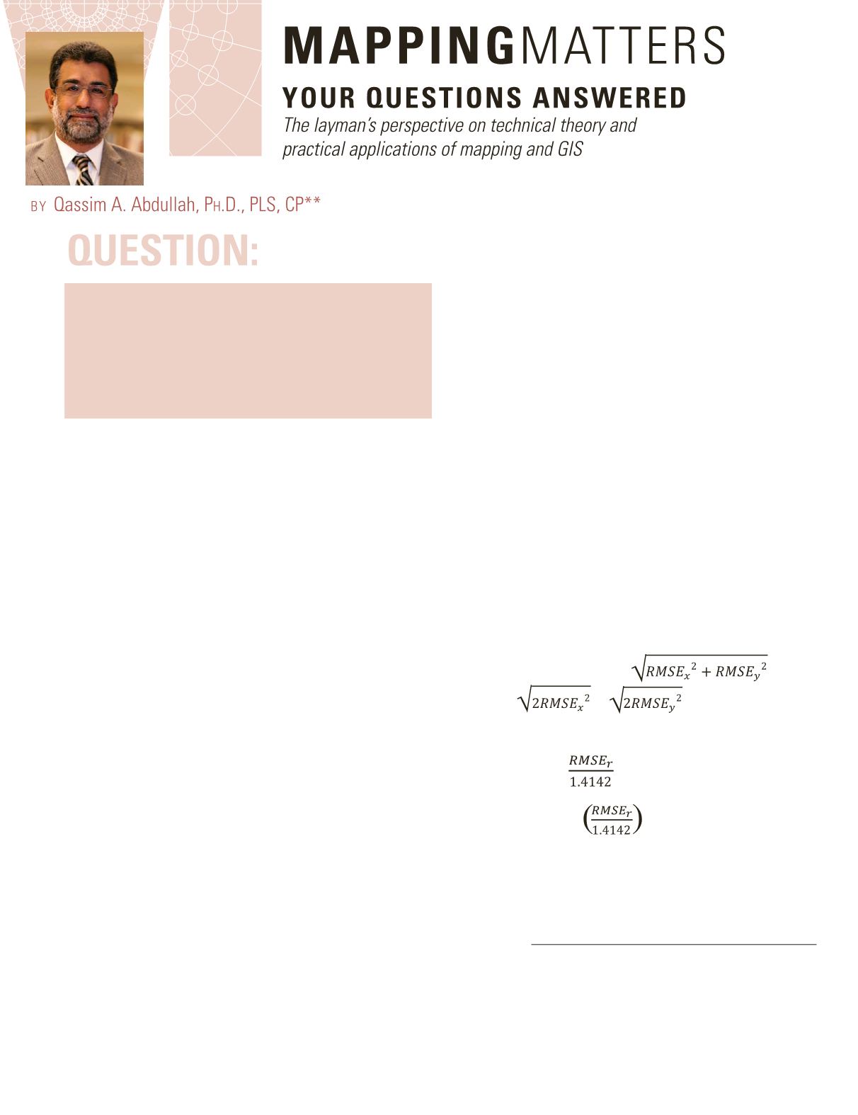
If we assume that:
RMSE
x
= RMSE
y
and
RMSE
r
, then
RMSE
r
=
=
= 1.4142 ×RMSE
x
=
1.4142 ×RMSE
y
= 1.4142 × 15 = 21.21 cm
also
RMSE
x
or RMSE
y
=
Then,
Accuracy
r
= 2.4477 =
= 1.7308 (
RMSE
r
) = 1.7308
(21.21 cm) = 36.71 cm
Example 6: Converting the vertical accuracy of an
elevation dataset from the new ASPRS 2014 standard
to the FGDC NSSDA
Photogrammetric Engineering & Remote Sensing
Vol. 81, No. 7, July 2015, pp. 531–533.
0099-1112/15/531–533
© 2015 American Society for Photogrammetry
and Remote Sensing
doi: 10.14358/PERS.81.7.531


