PHOTOGRAMMETRIC ENGINEERING & REMOTE SENSING
May 2017
337
by
Clifford J. Mugnier, CP, CMS, FASPRS
T
he first Portuguese explorer to arrive in
Moçambique was Pero de Covilha who was
dispatched in 1487 to find a route to India,
which he reached via Egypt and Aden. On his re-
turn trip in 1489, he visited several places on the
East Coast of Africa, including the ancient port of
Sofala. The flourishing Arab port city on the Island
of Moçambique was visited by Vasco de Gama in
1498, following the rounding of the Cape of Good
Hope the previous year by Bartolomeo Dias. Soon
a Portuguese trading port, the region remained
under the control of Portugal through a complicat-
ed series of arrangements until its independence
in June of 1945. That port city remained the cap-
ital until 1907 when the capital was moved to the
southern port of Lourenço Marques (now Mapu-
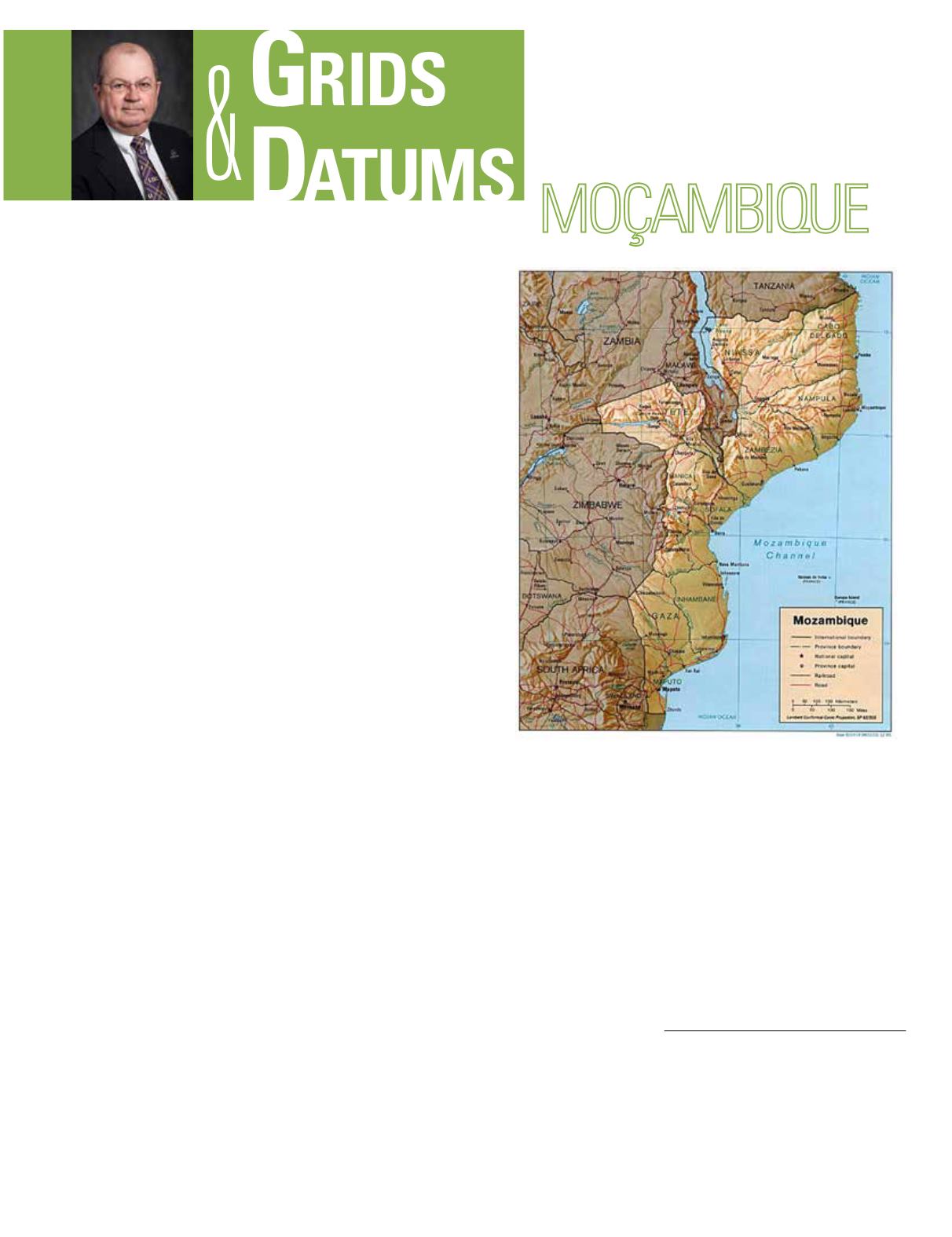
to). Moçambique has 10 provinces, some of which
are the namesakes of local datums: Cabo Delgado,
Gaza, Inhambane, Manica, Maputo, Nampula, Ni-
assa, Sofala, Tete, and Zambézia.
Before the peace accord of October 1992, Moçambique
had been devastated by civil war and was one of the poorest
countries on the globe. Prospects have subsequently im-
proved, and with its solid economic performance in 1996-97,
Moçambique has begun to exploit its sizable agricultural,
hydropower, and transportation resources. The restoration of
electrical transmissionlines toSouthAfricaandthecompletion
of a new transmission line to Zimbabwe (permitting the giant
Cahora Bassa hydropower plant to export large amounts of
electricity) will greatly improve foreign exchange receipts.
Land surveying and boundary surveys were authorized by
the Portuguese crown in 1857. Topographic mapping for
Moçambique was designed by the Portuguese “Junta das
Investigações do Ultramar” (Board of Overseas Research)
THE REPUBLIC OF
The Grids & Datums column has completed an exploration of
every country on the Earth. For those who did not get to enjoy this
world tour the first time,
PE&RS
is reprinting prior articles from the
column. This month’s article on the Republic of Moçambique was
originally printed in 1999 but contains updates to their coordinate
system since then.
in Lisbon, Portugal. The Junta coordinated the activities of
the geographic mission that established horizontal and ver-
tical control for photogrammetric mapping accomplished by
Serviços Geográficos e Cadastrais (SGC) in Maputo. Control
surveys for systematic mapping was initiated in 1931 by the
SGC with the assistance of the Junta, and all 61 sheets at
1:250,000 scale were completed by 1955.
The Dutch ceded South Africa to the British in 1814. The
last two decades of the 19
th
century saw extensive African
development by the European powers. The geodetic survey
of the 30
th
Meridian West of Greenwich became a symbol
of the progress of documenting the British Empire borders
Photogrammetric Engineering & Remote Sensing
Vol. 83, No. 5, May 2017, pp. 337–340.
0099-1112/17/337–340
© 2017 American Society for Photogrammetry
and Remote Sensing
doi: 10.14358/PERS.83.5.337


