PHOTOGRAMMETRIC ENGINEERING & REMOTE SENSING
October 2017
663
by
Clifford J. Mugnier, CP, CMS, FASPRS
O
nce part of the Holy Roman Empire, the
first Czechoslovakian Republic (1918-1939)
was formed by Czechs and Slovaks from ter-
ritories that were formerly part of the Austro-Hun-
garian Empire. Those provinces were Bohemia,
Moravia, Silesia and the northern part of Hungary
settled by Slovaks and Ruthemians (Slovakia and
Carpatho-Ukraine). Hitler supported the ethnic
Germans living in the Sudeten region as an excuse
to the German annexation, which reduced it to the
Protectorate of Bohemia and Moravia (1939-1945).
The remaining portions of the republic were broken
up among neighboring countries dur-ing WWII. Af-
ter the war, it emerged as the Second Czechoslova-
kian Republic, but without the Carpatho-Ukraine.
The USSR gained control, and Czecho-slovakia
became part of the Warsaw Pact in 1955. Conse-
quently, in dis-cussing the surveying and mapping
of this country, a differentiation is made with re-
spect to the activities of four separate epochs,
i.e.
the First Czecho-slovakian Republic, the Protector-
ate, the Second Czechoslovakian Republic, and the
Czech Republic. On 1 January 1993, the country
peacefully split into its two ethnic components, the
Czech Republic and Slovakia.
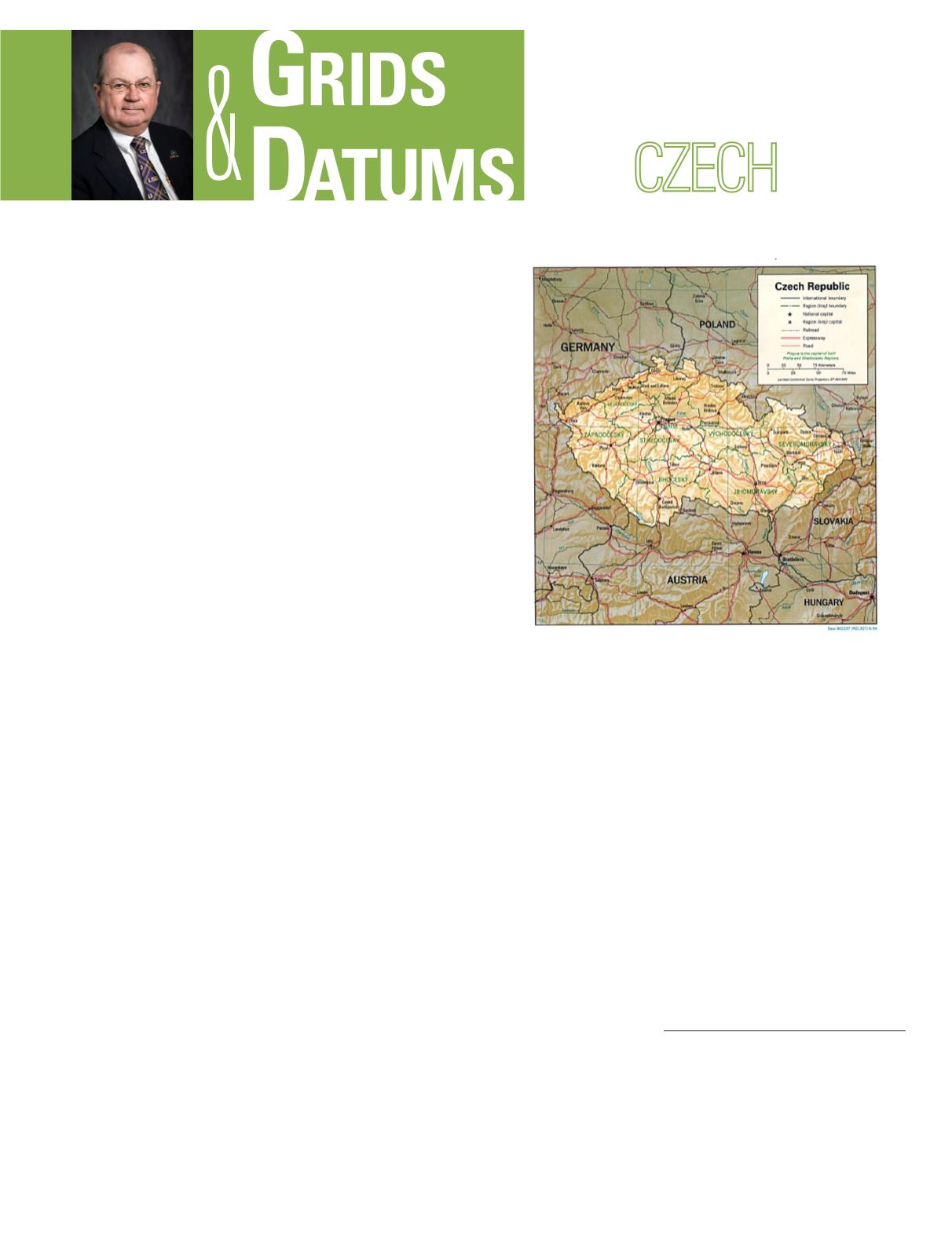
The Czech Republic is north of the Danube Valley and is
largely mountainous. Bohemia, in the west, consists of roll-
ing plains, hills, and plateaus surrounded by low mountains;
Moravia, in the east, consists of very hilly country. The low-
est point of the republic is along the Elbe River (115 meters),
and the highest point is Snezka (1,602 meters) in the Car-
pathian Mountains.
The original triangulation of the region by first-order meth-
ods was by the III K. und k. military triangulation of the
Austro-Hungarian Empire. The cadastral grids employed by
THE
REPUBLIC
The Grids & Datums column has completed an exploration of
every country on the Earth. For those who did not get to enjoy
this world tour the first time,
PE&RS
is reprinting prior articles
from the column. This month’s article on the Czech Republic
was
originally printed in 2000 but contains updates to their coordinate
system since then.
the Happsburgs were the Böhmen Soldner (Cassini-Soldner)
with a
f
o
= 48° 02´ 20.5˝ N,
l
o
= 14° 08´ 24.15˝ East of Green-
wich, and the Mähren Soldner with a
f
o
= 48° 12´ 32.75˝ N,
l
o
= 16° 22´ 36.58˝ East of Greenwich. No false origins were
used according to the European convention of the time. How-
ever, the entire region was not covered by 1918 as published
in the Ergebnisse der Triangulierungen (Triangulation Re-
sults). The responsibility for the survey activities in the First
Republic was divided among the following agencies: Trian-
gulačni Kancelař Ministerstva Financi (Triangulation Of-
fice of the Ministry of Finance); Katastralni Měřřické Uřady
(Office of Cadaster); Nivelacni Uřad Ministerstva Veřejnych
Praci (Leveling Office of the Ministry of Public Works); and
Vojenský Semepisný Ústav (Military Geographic Institute).
The duties of the civilian agencies had some overlap among
themselves as well as with the military, but the records of
all agencies could be utilized for military purposes. The ter-
ritory was covered by the old cadastral triangulations with
Photogrammetric Engineering & Remote Sensing
Vol. 83, No. 10, October 2017, pp. 663–665.
0099-1112/17/663–665
© 2017 American Society for Photogrammetry
and Remote Sensing
doi: 10.14358/PERS.83.10.665


