PHOTOGRAMMETRIC ENGINEERING & REMOTE SENSING
February 2020
73
COREY OCHSMAN
Tell us about your educational background includ-
ing your doctoral research, if applicable.
I was not the best student in high school as I preferred to
be outside on my dirt bike or playing baseball rather than
studying. I attended George Mason University and I began
my education aspiring to be a chemical engineer because I
was enamored with AP Chemistry. But higher level calcu-
lus and computer science classes halted my progress and
I sought a subject that would, in my mind, allow me some
breathing room. I began studying geography at GMU and the
major required a minor. My new-found interest in art history
pushed me to minor in that subject, something a sane person
would rarely do. But that is how I learned to love education
and I dove head first into art history and archaeology. I dis-
covered remote sensing just before graduating and realized
that I could combine the two fields. My parents pushed grad-
uate school on me and, as a rebellious move, I found a pro-
gram in Classical Archaeology in Leiden, The Netherlands
and zipped off to Europe in the summer of 2006. Living and
studying abroad was one of the best experiences in my life. I
look back on those years with extremely fond memories and
although I was never a brain, I do miss how school made me
feel empowered. I wrote my Masters thesis on early Greek
and Phoenician colonization philosophies in the Mediterra-
nean. Although my career utilizes my Geography degree, the
skills I learned obtaining my Masters had undoubtedly pre-
pared me for what was to come.
Do you have a particular teacher or professor who
inspired your love of science? Why?
I am thankful for Barry Haack of GMU, who instructed my
first remote sensing class. He inspired me to explore the
world through travel for work. Additionally, Chris Greg of
GMU instructed the majority of my Greek and Roman art
and archaeology classes and inspired me to enjoy learning,
guided me on my first archaeological excavations, and gave
me insight on life in academia.
What is the focus of your current research?
My current research is focused on improving and innovating
Lidar workflows. I am fortunate enough to have brilliant
minds around me who are able to produce huge amounts of
quality Lidar data for a multitude of customers, but there is
always room for improvement. As a Team Leader, I need to
always be looking forward and researching new ways for my
group to improve quality and efficiency.
Tell us about something we might see in our daily
lives that directly correlates to your work.
Although it may not be obvious while watching news of
the latest disaster relief, or the next large wildfire sweep-
ing across Colorado, USGS 3DEP data is used for planning
and mitigation purposes. According to the agency, “A core
mission of the USGS is to provide information that leads to
reduced loss of life and damage to property and infrastruc-
ture from hazards like landslides, earthquakes, floods, hur-
ricanes and wildfires.” My Lidar team at Woolpert processes
tens of thousands of square miles of Lidar data annually
that will be used in USGS’s core mission.
Give us an example of how multi-disciplinary
research directly contributed to your work.
The production, and exploitation, of Lidar data isn’t a sim-
ple process. The Lidar department alongside flight crews
plan the flights based on point density and the accuracies
required. Survey teams collect, control, and maintain check-
points based on customer and project needs. At Woolpert
we have select people who specialize in calibrating Lidar
data. We have specialists who digitize breaklines, edit LAS
file formatted information to produce accurate digital ele-
vation models or DEMs, produce our final products, extract
building footprints, generate metadata, and more. It takes
a diverse team with a variety of backgrounds to make a suc-
cessful project.
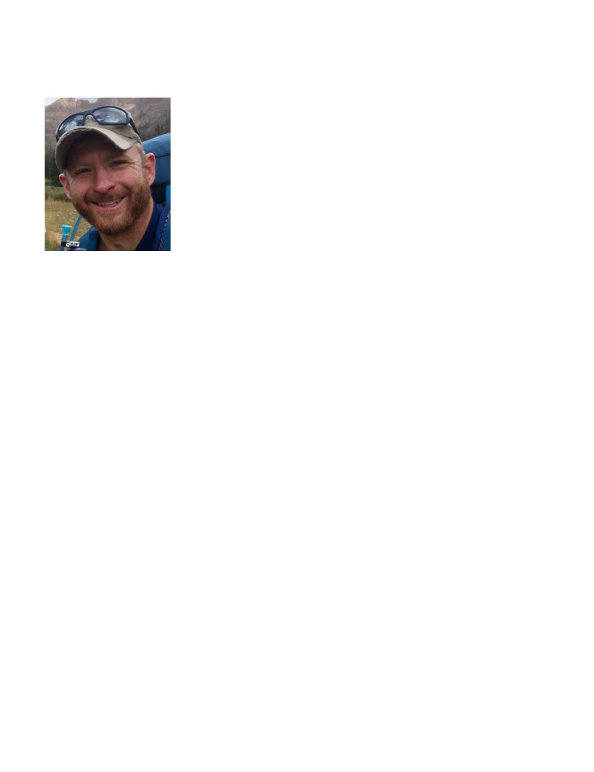
Corey Ochsman is a benefactor of the ASPRS’ Rising Star Program. He has an unique perspec-
tive on where archaeology of the past meets geospatial technologies of the future. He studied
geography and art history at George Mason University and later earned a Masters in Classical
Archaeology from Leiden University in the Netherlands. His focus on geospatial technology in
archaeology brought him to work several seasons as the GIS manager at the excavations of the
Villa di Massenzio in Rome. Since then, he has continued to work in a variety of positions at the
cross section of the geospatial industry. In 2011, Corey began working with lidar and started
deploying to Afghanistan with the USACE Buckeye Program. He transitioned to the Buckeye UAS
platform in Jordan and worked there for several years before bringing his breadth of knowledge
to Woolpert. Corey currently lives in Colorado and he spends his free time traveling, climbing
mountains, and BASE jumping.


