PHOTOGRAMMETRIC ENGINEERING & REMOTE SENSING
August 2015
615
BOOK
REVIEW
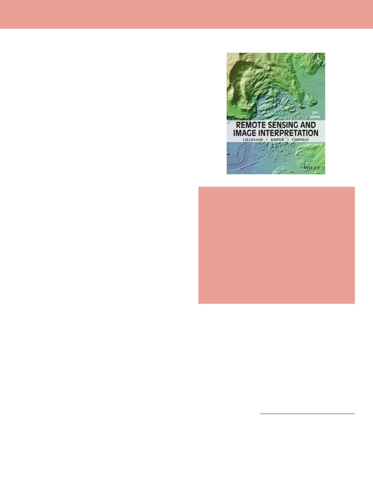
Remote Sensing and Image
Interpretation. 7th Edition.
Thomas Lillesand, Ralph Kiefer, and Jonathan
Chipman.
John Wiley & Sons: Hoboken, NJ. 2015. Xii and 720 pp.
diagrams, maps, photos, images, index, SI units. Paperback.
$190.95, e-book $62.50, ISBN 978-1-118-34328-9.
Reviewed by:
Russell G. Congalton, Professor
of Remote Sensing & GIS, Department of Natural
Resources & the Environment, University of New
Hampshire, Durham, NH.
Remote Sensing and Image Interpretation
by Lillesand,
Kiefer, and Chipman is one of those three or four “must
have” books that every remote sensing scientist has as part
of their personal library. I still have the first edition that
came out back in 1979 and now I am pleased to add the 7
th
edition to the other six. This book is useful not only as a
textbook in a remote sensing course, but also as a valuable
reference for the practitioner. New sections covering
LiDAR and UAS technologies along with comprehensive
information and tables on all the new satellites and imaging
systems is incredibly valuable. The book is divided into eight
chapters beginning with the concepts and foundations of
remote sensing and ending with an impressive presentation
of over a dozen applications using the concepts and methods
presented throughout the book.
As an academic, I am always searching for the perfect
textbooks to use in each of my remote sensing classes.
Over the last 10 or so years, one course that I teach, called
Photogrammetry and Photo Interpretation, has come to add
more and more digital analysis until I have recently changed
the name to Remote Sensing of the Environment. I have
struggled finding a book that has the right balance between
the fundamentals of image analysis with everything I want
to cover related to digital analysis. That struggle is over!
Remote Sensing and Image Interpretation
provides just
the balance that I was looking for in this course. Chapter
1 provides a review of the basic concepts and foundations
of remote sensing including electromagnetic energy, the
atmosphere, and the earth’s surface. It even has a most
excellent disclaimer about reference data and the term
“ground truth”. I have lead a crusade to eliminate the term
“ground truth” from the remote sensing vocabulary and am
very glad to see these authors reinforce the ides that there
is only reference data and that all data collection includes
assumptions, samples, time, methods that can inherently
introduce error, and should not be called “truth”. The
elements of photographic systems are covered in Chapter 2
including basics about both film and digital photography and
aerial camera systems. Chapter 3 presents the principles
behind photogrammetry. Given the high spatial resolution
of much of our current digital imagery, a strong knowledge
of photogrammetry is required of every remote sensing
scientist and this chapter is critical to the completeness of
this book. Chapters 1 -3 provide just the right amount of
information to form a solid foundation that I believe is key
to know and understand before moving on to any digital
analysis.
Chapters 4, 5, and 6 together present an overview of
the digital data/imagery that are available now. Concepts
behind multispectral, thermal, and hyperspectral sensing
are presented in Chapter 4, followed by a summary of earth
resource satellites in Chapter 5, and then microwave and
LiDAR sensing in Chapter 6. I would have preferred to see
microwave and LiDAR handled in separate chapters with
more information provided on LiDAR, but understand the
authors thinking of putting all these active sensors together
in one place. Chapter 7 is an excellent chapter dedicated to
digital image analysis. The chapter is quite comprehensive
including everything from image enhancements to
image classification including a section on object-based
classification to accuracy assessment and change detection.
This chapter is perfect for my introductory course and for
Photogrammetric Engineering & Remote Sensing
Vol. 81, No. 8, August 2015, pp. 615–616.
0099-1112/15/615–616
© 2015 American Society for Photogrammetry
and Remote Sensing
doi: 10.14358/PERS.81.8.615


