620
August 2015
PHOTOGRAMMETRIC ENGINEERING & REMOTE SENSING
ASPRS
NEWS
ASPRS OUTSTANDING TECHNICAL ACHIEVEMENT
AWARD, OUTSTANDING SERVICE AWARDS AND REGION
AWARD WINNERS
T
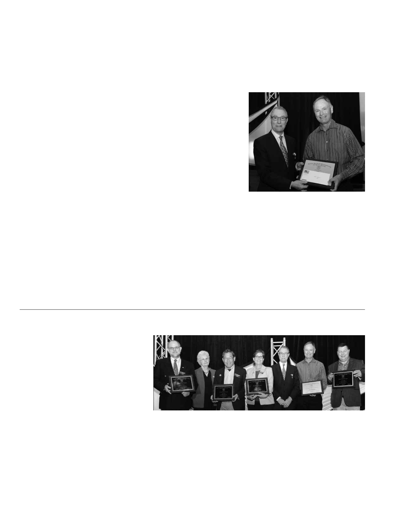
he American Society for Photogrammetry
and Remote Sensing (ASPRS) proudly
announces the 2015 Outstanding Technical
Achievement Award to Tom Barclay for the
development of the Microsoft TerraServer.
Barclay was presented a silver plaque and a
monetary grant at the IGTF 2015 – ASPRS
Annual Conference in Tampa, Florida on
Thursday, May 7, 2015.
Barclay is currently partner architect and development man-
ager of Bing Imagery Technologies and the Bing Search team
at Microsoft. He has been with Microsoft Corporation since
1994 and was the lead researcher on Microsoft TerraServer.
Prior to his career at Microsoft, Barclay was a software consul-
tant with Digital Equipment Corporation from 1976 to 1994.
Barclay is interested in database design, scientific computing,
and data mining.
The TerraServer was the precursor to today’s mapping web-
sites that provide geospatial professionals and the general
public with on-line access to traditional maps, satellite, aerial
and street-view imagery using common browsers on personal
computers and mobile devices. It evolved from research on the
A
dditional awards
presented during
the
ASPRS 81
st
A
nnual
C
onference were
:
The ASPRS Outstanding Service Award was
established in 1991. It is given to society
members in recognition of outstanding and
unusual efforts in helping ASPRS develop and
carry out its program over a sustained period.
Recipients have performed outstanding ser-
vice at the chapter, regional, or national lev-
el. Awardees’ services include any activities,
including professional, that have helped the
society achieve its goals and objectives.
scalability of relational database management system which
Tom conducted with the late Dr. James Gray. The TerraS-
erver pioneered the early work of building a massively large
image database of aerial and satellite imagery that standard
web browsers can access without the need for special plug-ins
or other applications.
TerraServer is the first mapping service on the Internet with
programmatic interfaces. At its release, it was the largest data
collection accessible via web services. The TerraServer project
generated a significant amount of feedback to the Microsoft
SQL team on how to scale databases to large datasets. SQL
Server was the foundation for the Virtual Earth technology.
O
utstanding
S
ervice
A
ward
W
inners
:
Jim Crabtree
for his many years of dedicated work on the
ASPRS Evaluation for Certification Committee.
John Faundeen
for his leadership as Chair of the Data Pres-
ervation and Archiving Committee. He has been a leader in
both the US and the international community regarding pres-
continued on page
ASPRS Awards
ervation of remotely sensed data and making those data avail-
able to user communities around the world.
John Iiames
for his work over the last 6 years as the Book
Review Editor of PE&RS, obtaining appropriate books and se-
lecting and editing reviews.


