PHOTOGRAMMETRIC ENGINEERING & REMOTE SENSING
March 2016
183
T
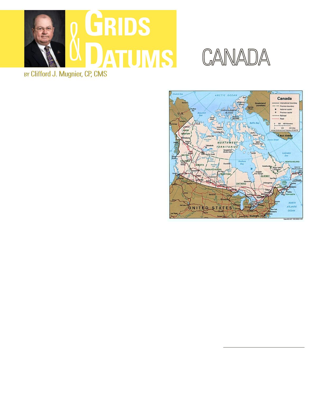
he Dominion of Canada was established in
1867 by the union of NewBrunswick andNova
Scotia with the Provinces of Canada. The
Statute of Westminster of 1931 removed the U.K.
Parliament authority over the dominions and the
constitution was patriated to Canada in 1982. The
original geodetic surveys of Canada were computed
on the Bessel 1841 ellipsoid. In 1880, when the U.S.
Coast & Geodetic Survey chose to adopt the ellipsoid
that hadbeenpublishedbyColonel A. R. Clarke of the
British Royal Engineers
in 1866 for North America,
it was only logical for Canada to adopt the same
ellipsoid. The original first-order geodetic networks
included only a few networks in Canada. With a few
second-order networks, they were adjusted between
1927 and 1932 to produce the original system of
coordinates known as NAD27. Southern Quebec,
Ontario, and the southern boundary of the Western
provinces were included. Subsequently, first-order
arcs were extended northwards from stations in the
original figures and were adjusted while holding the
original stations fixed.
This practice was the same as used in the U. S. and Mexico
with respect to new observations made after the original
datum adjustment. The North American Datum of 1927
was a spectacular achievement in geodesy
at the time
. In
certain cases, local datums were later computed for optimum
accuracy at the expense of overall continuity. Some of the
major readjustments included: the Prince Edward Island
free adjustment of 1968, the 1971 Newfoundland adjustment,
the 1972 Nova Scotia readjustment, the Southern Ontario
adjustment of 1974, the Northwestern Ontario adjustment of
1974 and the Southern Quebec adjustment of 1978.
With the advent of the Transit satellite system, the
Maritime Scientific Adjustment (MSA) was developed in 1971.
The Canadian Council on Surveying and Mapping adopted
a resolution (23 June 1975) that the Geodetic Survey of
Canada (now Geomatics Canada) should make an adjustment
in 1977 of the primary horizontal control net of Canada on
the NAD1927. Only the Maritime Provinces are still on the
Average Terrestrial System (ATS 77), and they have not yet
moved to NAD83 or WGS84.
Early one-inch maps of Canada (one inch equals one statute
mile) by the Geological Survey of Canada as of 1844 were
based on the polyconic projection until the Army replaced it
with the 1932 Lambert Conformal Conics that included the
Maritime Zones and the Eastern Zones. Although the U.S.
military was using the World Polyconic Grid system in U.S.
Survey yards (3600/3937), the Lambert projection sheets of the
Canadian Army were gridded in International yards (1 inch =
2.54 cm.). On the other hand, Topographical Surveys, part of
the Department of the Interior, published one sheet in 1926 on
the polyconic projection, and from 1927 on used the Deville-
Peters 1924 Transverse Mercator (Gauss) projection with 8
degree zones for the National Topographic Series (NTS).
There was a lively discussion (and correspondence) for
years between the two mapping organizations that centered
on the relative merits of aesthetics versus convenience for
artillery fire control. On sheets of the NTS that were of use
Photogrammetric Engineering & Remote Sensing
Vol. 82, No. 3, March 2016, pp. 183–184.
0099-1112/16/183–184
© 2016 American Society for Photogrammetry
and Remote Sensing
doi: 10.14358/PERS.82.3.183


