184
March 2016
PHOTOGRAMMETRIC ENGINEERING & REMOTE SENSING
to the military, the Army added a 1000-yard rectangular grid overprint
based on the Army Lambert systems. That was called the “British
Grid,” a system introduced in England in 1919 and adopted by many
Commonwealth countries. Later changed to the “Modified British Grid,”
it was also overprinted on many existing Army one-inch maps cast on
the polyconic projection. The “Modified British Grid” did not have the
failing that numerical references would repeat themselves every 10,000
yards, but would continue differently until 100,000 yards, a decided
safety advantage to avoid calling “friendly” artillery fire onto your own
positions. The Canadian Lambert projection grids continued in use until
the one- inch series was converted by the Army Survey Establishment
to 1:50,000 scale maps in 1948 with the UTM grid system and the
associated Military Grid Reference System (MGRS).
In 1945, a special Lambert Conformal Conic projection was established
for Prince Edward Island and later changed to an oblique double
stereographic in 1959 along with a separate stereographic zone for New
Brunswick. Sometime after World War II, probably also in 1959, five 3-
degree wide Gauss-Krüger Transverse Mercator belts were established
for eastern Canada, but seem to have been actually used only for a
couple belts covering Nova Scotia. These two belts (zones 4 and 5) were
used with the millions digit of the False Easting being equal to the zone
number. Although this convention is not uncommon throughout the
world, this is the only such usage known with respect to False Eastings
for North America.
The grid systems established in 1959 for the Maritime Provinces were
later documented (1970’s) in a series of publications from the University
of New Brunswick which are among the most elegant ever written for the
computational use by geodetic surveyors and mappers. These documents
are genuine “how to” books and not just math proofs. Those readers that
are interested in the topics of this column are strongly urged to obtain
copies of this series by Thompson, Krakiwsky,
et. al.
As the Provinces move towards the adoption of NAD83, a change in
grid systems is inevitable. Current plans for New Brunswick are to
retain the Oblique Double Stereographic, but the False Easting will be
changed to 3500 Km and the False Northing will be changed to 4500
Km. All other constants will remain the same, excepting the ellipsoid.
The Province of Quebec will use the “Modified Transverse Mercator”
(MTM) with eight zones of 3° (2 to 10 from east to west), for example;
zone 7 has a central meridian of 70° 30’ W. The scale factor at origin
is 0.9999 and the False Easting is 304800 meters for all zones. All
other provinces seem to be content with the NAD83 UTM (for now).
Surprisingly, not a single Province seems interested (or is aware of) in
changing the ellipsoid parameters to simplify the sea-level reduction for
GIS/survey applications as done by Minnesota, Wisconsin and Colombia.
The Canadian national government and some provinces have gotten
commercial in their support (for a price) of transforming to NAD83. The
software to convert Latitude & Longitude between the NAD27 and the
NAD83 is available for a couple hundred dollars, the geoid software is
available for several hundred dollars more. The Canadian government
also offers a GPS correction service for a price.
The contents of this column reflect the views of the author, who is responsible for the
facts and accuracy of the data presented herein. The contents do not necessarily reflect
the official views or policies of the American Society for Photogrammetry and Remote
Sensing and/or the Louisiana State University Center for GeoInformatics (C
4
G).
This column was previously published in
PE&RS
.
Attention those seeking ASPRS
Certification: ASPRS Online
Seminars are a great way to gain
Professional Development Hours!
/
GISD-Division/
Online-Seminars.html
February 26
th
Beyond NDVI … 2016
Jack Paris
March 25
th
A Geospatial Approach to
Mapping Environmental Sound
Levels Across the United States
Dan Mennitt, NPS
Kurt Fristrup, NPS
April 29
th
Designing National Park Service
Visitor Maps
Tom Patterson, NPS
May 27
th
CyberGIS: Foundations and
Principles
Eric Shook, Kent University
July 22
th
Getting More From Remote
Sensing Data Using OGC
Standards
George Percivall, OGC
August 5
th
Aqueduct Global Flood
Analyzer – A Web Tool To
Estimate Global Flood Risks For
Current and Future Scenarios
Tianyi Luo, WRI
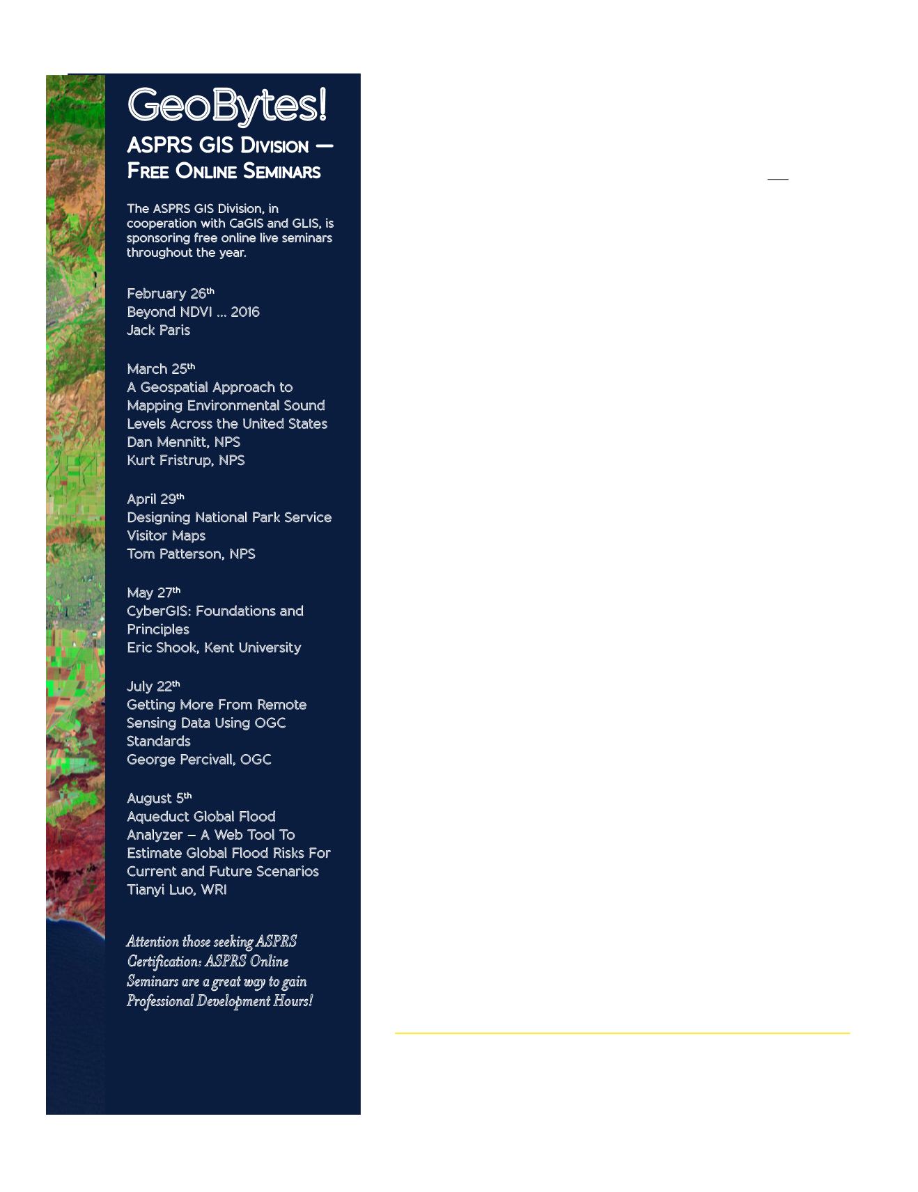
GeoBytes!
ASPRS GIS D
ivision
—
F
ree
O
nline
S
eminars
The ASPRS GIS Division, in
cooperation with CaGIS and GLIS, is
sponsoring free online live seminars
throughout the year.


