PHOTOGRAMMETRIC ENGINEERING & REMOTE SENSING
September 2016
655
PHOTOGRAMME TR I C ENG I NE ER I NG & REMOT E SENS I NG
The official journal for imaging and geospatial information science and technology
September 2016 Volume 82 Number 9
AA’s final rule for commercial uses of drones were issued on June 21, 2016. The rule, which is commonly
known as Part 107, is expected to take effect in late August and offers operational and safety regulations for
sUAS that are conducting non-hobbyist operations. Find out how the new rule will affect you.
FEATURES
Berdien De Roo, Britt Lonneville, Jean Bourgeois,
and
Philippe De Maeyer
The feasibility of extending a virtual globe towards a 4D archaeological GIS.
Kristi L. Sayler, William Acevedo,
and
Janis Taylor
The 2006 and 2011 LULC data collection and land change statistics compiled for selected
ecoregions across the conterminous United States.
Jun-Hak Lee, Gregory S. Biging,
and
Joshua B. Fisher
Individual tree tops are used to rectify multiple aerial images to lidar in a forested area
that lacks sufficient distinctive features to allow fully automated procedures.
John W. McCombs, Nathaniel D. Herold, Shan G. Burkhalter, and Christopher J. Robinson
A unique approach to sample unit distribution to assess the accuracy of 2010 C-CAP land
cover and 2006-2010 land cover change.
Yonghong Zhang, Hong’an Wu, Huiqin Wang, Shanshan Jin, Ms. Huiqin Wang,
and
Ms.
Shanshan Jin
A reliable and computationally simple change detector for polarimetric SAR imagery.
Bo Wu, Chaoyang Fang, Le Yu, Xin Huang,
and
Qiang Zhang
A fully automatic method to extract rare earth mining areas.
PEER-REVIEWED ARTICLES
COLUMNS
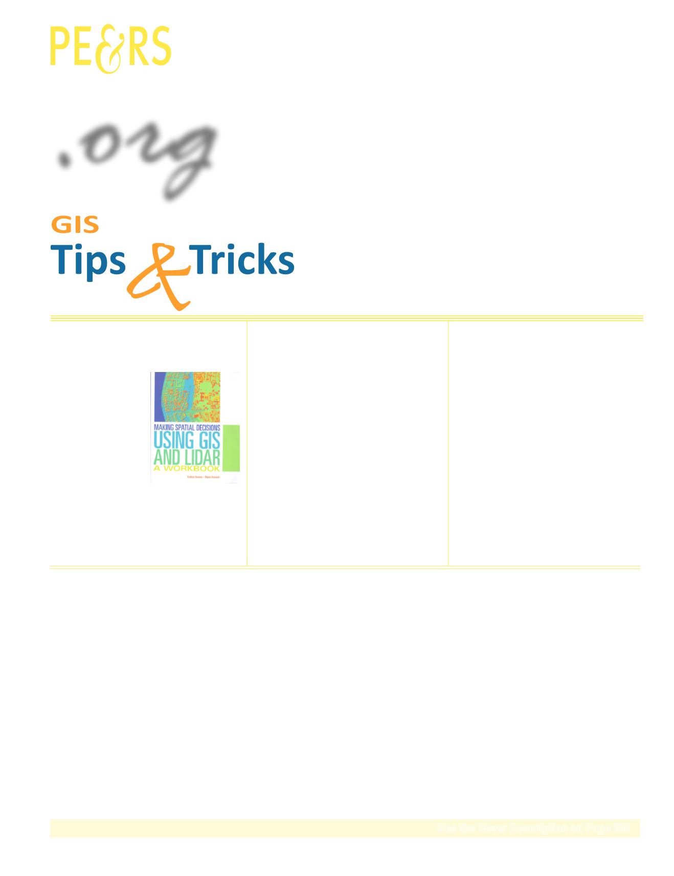
Lidar data is more available
than ever, how to make the
Lidar data best benefit the
geospatial industry and
its customers becomes
an even bigger task. This book provides detailed
instructions for the user to fulfill these tasks.
ANNOUNCEMENTS
653
IGTF 2017
Charles Toth Elected to ISPRS Council.
Join us in welcoming our newest members to ASPRS.
ASPRS Board of Directors, Divisions, and Regions.
Formerly ASPRS Sustaining Members
DEPARTMENTS
Stand Out From the Rest! Newly certified and re-certified
professionals.
.
org
Did you know that you could use ArcGIS for Remote Sensing? Find out how!
This month we look at the Republic of Turkey.
The SAC Newsletter.


