PHOTOGRAMMETRIC ENGINEERING & REMOTE SENSING
March 2019
161
BOOK
REVIEW
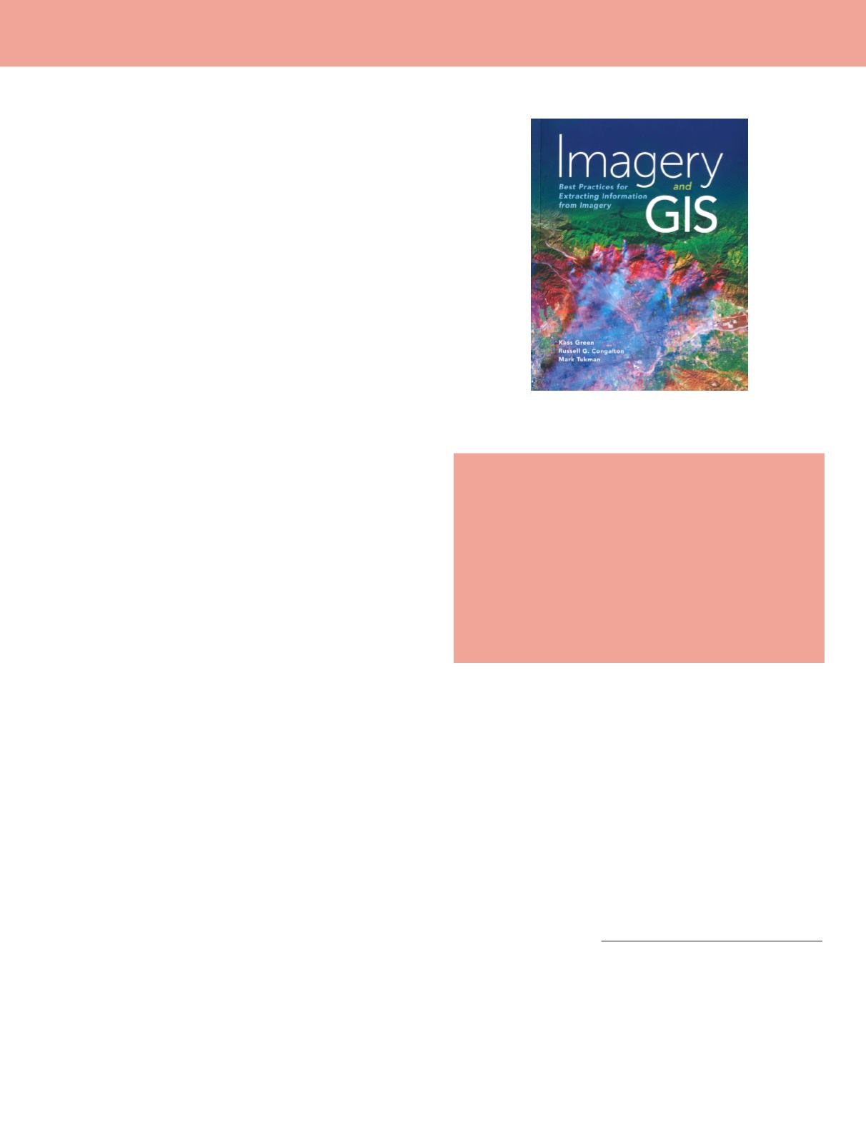
Imagery and GIS: Best Practices for
Extracting Information from Imagery
Kass Green, Russell G. Congalton, Ph.D., and
Mark Tukman
Esri Press. 2017. 436 pp, ISBN 9781589484542.
Reviewed by
Benjamin W. Heumann, Ph.D., Assistant
Professor, Department of Geography, Central Michigan
University, Mt. Pleasant, Michigan.
Imagery and GIS: Best Practices for Extracting Information
from Imagery
is a new remote sensing textbook aimed at GIS
users interested in remote sensing as a data source and rath-
er than the technical details of creating remote sensing data.
In the current state of remote sensing, where data are widely
accessible, and geometric and radiometric pre-processing are
often automated, this book is well suited to the majority of
potential remote sensing users interested in the application
of remote sensing data rather than the technical processes be-
hind remote sensing. The book is organized into 14 chapters
divided into 4 sections – “Discovering Imagery,” “Using Imag-
ery,” “Extracting Information from Imagery,” and “Managing
Imagery and GIS Data,” with acronyms, glossary, references,
and index at the end of the book. Each chapter is organized
with bold headings with an introduction that prepares the
reader for why the information in this chapter is important
and concludes with a summary that specifically considers
“practical considerations” that GIS professionals using remote
sensing will need to anticipate. Throughout the book, there
are colorful and detailed tables, charts, and pictures that sup-
port the text, along with occasional references to ArcGIS soft-
ware and products. The book also contains several real-world
case studies that help connect concepts with practice.
Section 1 serves as an introduction to both the book, but also
fundamental concepts such as types of GIS data structures,
how imagery fits into GIS and the types of maps produced
from imagery, the imagery workflow, and the fundamentals
of remote sensing such as the electromagnetic spectrum, types
of sensors, types of platforms, and characteristics of imagery
in the spatial and spectral domains. This section of the book
is detailed and up-to-date without being too technical or over-
whelming to new students of remote sensing. I particularly
like the inclusion of a dedicated section at the end of chapter
2 (Thinking About Imagery), that outlines image workflows
in 4 steps helping the reader understand how the following
sections support the ultimate goal of high-quality data from
remote sensing. Section 1 concludes with an entire chapter
dedicated to choosing the correct imagery with helpful figures
and tables detailing current and future sensors and platforms.
Although this list may become quickly dated, it serves as an
excellent resource.
Section 2, “Using Imagery” is split into two chapters. “Work-
ing With Imagery” covers data formats, visual enhancements,
filters, and mosaics, and how to access imagery in ArcMap or
ArcGIS Online including incorporating remote sensing into
story maps. “Imagery Processing: Controlling Unwanted Vari-
ation in the Imagery” directly refers back to the imagery work-
flow from section 1. This chapter does a particularly good job
of describing the different factors that can affect radiometric
and geometric characteristics of imagery without being too
technical. Readers appreciate the sources and implications of
radiometric and geometric corrections without getting into the
trigonometry or physics of these corrections better suited for
more advanced readers and textbooks.
Section 3, “Extracting Information,” is the largest section
of the book covering 5 chapters and 158 pages. This section
is both detailed and broad describing a wealth of techniques
from conceptualizing classification schemes, digital elevation
models, elements of image interpretation, data transforma-
tions, spectral pattern analysis, incorporation of ancillary
geospatial data in data exploration, classifications (including
object-based image analysis and machine learning) and con-
cludes with image change analysis. While the previous sec-
tions were well structured and approachable, I found this sec-
Photogrammetric Engineering & Remote Sensing
Vol. 85, No. 3, March 2019, pp. 161–162.
0099-1112/18/161–162
© 2019 American Society for Photogrammetry
and Remote Sensing
doi: 10.14358/PERS.85.3.162


