PHOTOGRAMMETRIC ENGINEERING & REMOTE SENSING
March 2019
163
by
Clifford J. Mugnier, CP, CMS, FASPRS
T
h
e original peoples of what is now Angola were
probably Khoisan speaking hunters and gatherers
(bushmen). During the first millennium AD, large-
scale migrations of Bantu speaking people moved into the
area and eventually became the dominant ethno-linguistic
group of southern Africa. The most important Bantu kingdom
in Angola was the Kongo, with its capital at Mbanza Kongo
(called
São Salvador do Congo
by the Portuguese). South of
the Kongo was the Ndongo kingdom of the Mbundu people.
Angola got its name from the title for its king, the
ngola
.
In 1483, Portuguese explorers reached Angola, Christianized
the ruling family, and engaged in trade and missionary
work. By the early 17th century, some 5,000+ slaves were
being exported from Luanda annually. Angola received its
independence from Portugal in 1975, but has been plagued
by civil war and insurrections since independence. A familiar
Bantu word in the U.S. is kwanza, which is Angola’s unit of
currency.
The interior forms part of the Central African Plateau, with
elevations that range from 1,220 to 1,830 m (4,000 to 6,000
ft). The coastal plain is about 1,610 km long (1,000 miles)
and varies in width from 48 to 160 km (30 to 100 miles). The
highest point is Mt. Moco in the west at 2,559 m (8397 ft).
The chief rivers include the Congo, Cuanza, and Cuene to
the north, while south of the Lunda Divide some flow into the
Zambezi River and others flow into the Okavango River.
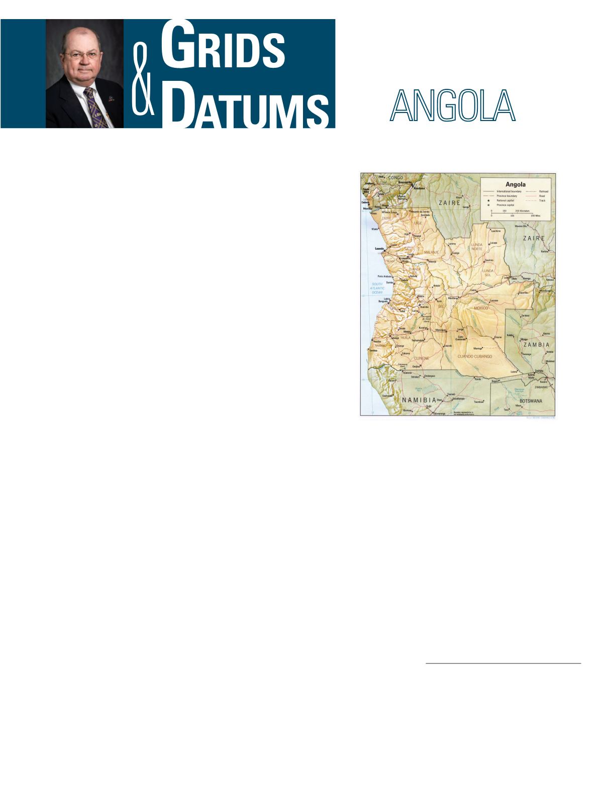
Angola consists of two geographically separate expanses:
Angola proper and Cabinda. Portuguese authority was not
exercised continuously north of the Congo River in the pres-
ent-day district of Cabinda until a relatively recent date. It
was occupied by the Portuguese in 1783, but a French expedi-
tion forced them to evacuate the area 11 months later. Portu-
gal laid definite claim to Cabinda in an additional convention
to the Anglo-Portuguese treaty of January 22, 1815. Again,
on February 26, 1884, an Anglo Portuguese treaty acknowl-
edged claims by Portugal that included not only Cabinda and
the Congo River inland to Nóqui but the whole Atlantic coast
between 5° 12´ and 8´ South latitude. This produced a storm
THE REPUBLIC OF
The Grids & Datums column has completed an exploration of
every country on the Earth. For those who did not get to enjoy this
world tour the first time,
PE&RS
is reprinting prior articles from
the column. This month’s article on the Republic of Angola was
originally printed in 2001 but contains updates to their coordinate
system since then.
of protests in Europe, and Portugal proposed a conference
on the Congo that resulted in the Berlin Conference held be-
tween November 15, 1884 and February 26, 1885. Consider
then, that the borders of Cabinda are in common with Congo
(Brazzaville), which was part of the former Congo Français
(French Congo), and is currently the Republic of the Congo.
The southern border is in common with Congo (Kinshasa),
once the Belgian Congo, later called Congo, then Zaire, and
currently the Democratic Republic of Congo. The controlling
classical datum for southern Africa and most surrounding
countries of Angola proper is the Arc Datum of 1950 whose
point of origin is station Buffelsfontein where
F
o
= 33° 59´
32.00˝ South,
L
o
= 25° 30´ 44.622˝ East of Greenwich, and the
azimuth from south to station Zuurburg is
a
o
= 183° 58´ 15˝.
The reference ellipsoid for the Arc 50 Datum is the Clarke
1880 where the semi-major axis
a
= 6,378,249.145 m and the
Photogrammetric Engineering & Remote Sensing
Vol. 85, No. 3, March 2019, pp. 163–166.
0099-1112/18/163–166
© 2019 American Society for Photogrammetry
and Remote Sensing
doi: 10.14358/PERS.85.3.166


