594
October 2020
PHOTOGRAMMETRIC ENGINEERING & REMOTE SENSING
lidar intensity images, and the natural color imagery from
the RGB cameras). As an industry, we need to exert some
pressure on the leading software manufacturers who are
providing the industry with 3D modeling and road design
packages. Their software is used by all state departments of
transportation (DOTs) for road planning and design. Their
software requires the user to provide breaklines to represent
road centerlines, road edges, roadbeds, curbs and gutters,
sidewalks, shoulders, tops of endwalls, tops of slopes, ditch
bottoms, etc. For transportation projects, mobile lidar is
usually used to create point clouds with a density estimated
to be from 2,000 to 6,000 points per square meter. With this
kind of dense points cloud, the software should be smart
enough to find road crown, slopes, edges, etc. without relying
on any manually compiled information. The question for the
software developers is what could define the terrain details
better than the information provided by 6,000 points (each
with accurate X,Y,Z) per square meter and sub-centimeter
resolution colored imagery? Currently, many users of these
road design software packages acquire mobile lidar data with
thousands of points per square meter, create breaklines from
it, then decimate the point clouds to a 5-foot grid to be able
to ingest it into the software. This practice is wasteful for
two reasons: First, mobile lidar data acquired with a density
of thousands of points per square meter is being decimated
to 5-foot grid; and second, manually extracting breaklines, as
mentioned above, is time-consuming and costly.
There is no justifiable reason for using breaklines, especially
with dense lidar data. The lack of innovation by some
leading software companies is crippling the industry and
limiting the utilization and benefits of lidar data. I hope
algorithms and AI-based software will soon advance in a way
to help us to unleash the power of lidar data and eliminate
or minimize unnecessary laborious tasks such as these. The
breakline concept was created decades ago to suit that era
of mapping technologies. Breaklines should have no place
in our mapping practices today since lidar can provide us
with the most accurate and most thorough way to model the
terrain.
I hope this answers your question. For further reference, the
Florida DOT manual for surveying and mapping provides
excellent information about the requirements and guidelines
for breaklines.
**Dr. Abdullah is Vice President and Chief Scientist at Woolpert,
Inc. He is also adjunct professor at Penn State and the University
of Maryland Baltimore County. Dr. Abdullah is ASPRS fellow and
the recipient of the ASPRS Life Time Achievement Award and the
Fairchild Photogrammetric Award.
The contents of this column reflect the views of the author,
who is responsible for the facts and accuracy of the data
presented herein. The contents do not necessarily reflect
the official views or policies of the American Society for
Photogrammetry and Remote Sensing, Woolpert, Inc., NOAA
Hydrographic Services Review Panel (HSRP), Penn State,
and/or the University of Maryland Baltimore County.
“As an industry, we need to exert some pressure
on the leading software manufacturers who are
providing the industry with 3D modeling and road
design packages”
“Breaklines should have no place in our mapping
practices today since lidar can provide us with
the most accurate and most thorough way to
model the terrain.”
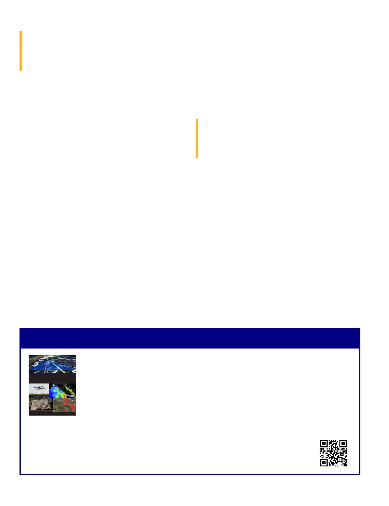
The 4th Edition of the Manual of Remote Sensing!
The
Manual of Remote Sensing, 4th Ed.
(MRS-4) is an “enhanced” electronic publication available online
from ASPRS. This edition expands its scope from previous editions, focusing on new and updated material
since the turn of the 21st Century. Stanley Morain (Editor-in-Chief), and co-editors Michael Renslow and
Amelia Budge have compiled material provided by numerous contributors who are experts in various
aspects of remote sensing technologies, data preservation practices, data access mechanisms, data pro-
cessing and modeling techniques, societal benefits, and legal aspects such as space policies and space law.
These topics are organized into nine chapters. MRS4 is unique from previous editions in that it is a “living”
document that can be updated easily in years to come as new technologies and practices evolve. It also is designed to include
animated illustrations and videos to further enhance the reader’s experience.
MRS-4 is available to ASPRS Members as a member benefit or can be purchased
by non-members. To access MRS-4, visit
.
Available on the ASPRS Website
MANUALOFREMOTESENSING
FourthEdition
editedby:StanleyA.Morain,
MichaelS.RenslowandAmeliaM.Budge


