PHOTOGRAMMETRIC ENGINEERING & REMOTE SENSING
January 2017
9
Recreational activities
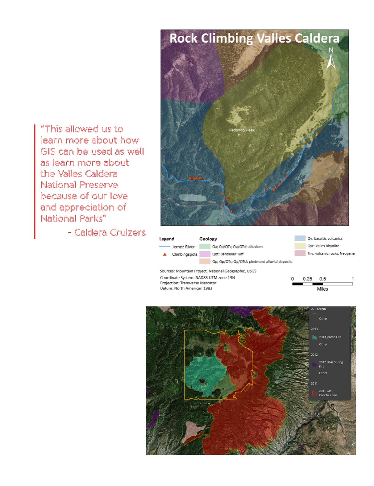
Randall Dongo-Olsen (Figure 6)
•
Data downloaded as Aerial Images, vector,
GPX for hiking, biking, and climbing spots
•
GPX
à
KMZ/KML to File
à
Shapefiles
•
Pop-ups on Story Map to include name,
length, rating, etc.
Fire history: Daniel Hernandez
(Figure 7)
•
Fire History data downloaded into
ArcMap
•
Summarized data, acreage by year and
locations
Figure 6. Rock Climbing Spots of the Valles Caldera.
Figure 7. Valles Caldera Fires. Data downloaded
from Santa Fe National Forest GIS database.
“This allowed us to
learn more about how
GIS can be used as well
as learn more about
the Valles Caldera
National Preserve
because of our love
and appreciation of
National Parks”
- Caldera Cruizers


