PHOTOGRAMMETRIC ENGINEERING & REMOTE SENSING
June 2017
393
by
Clifford J. Mugnier, CP, CMS, FASPRS
T
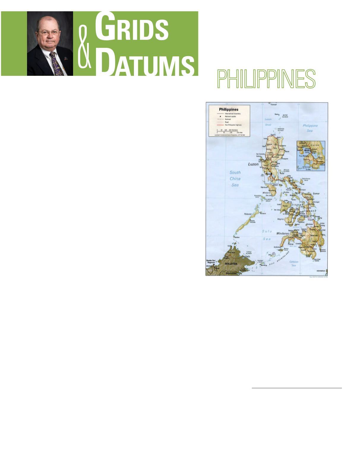
he Philippines has a long history of diverse
settlers. Chinese traders visited the Philip-
pines in the 10th century AD, and Muslims
settled in the southern part of the islands during
the 15th century. The Portuguese navigator Fer-
dinand Magellan discovered the islands in 1521,
and the first successful European settlement was
made by the Spanish under the explorer Miguel
López de Legazpi in 1565. The battle of Manila
Bay was fought during the Spanish-American
War, and the Treaty of Paris with Spain ceded the
Philippines to United States control in 1898. The
treaty limits of the Philippines consisted of an en-
closing box with appropriate zigzags to accommo-
date the island of Borneo.
The U.S. Coast and Geodetic Survey (USC&GS) executed
the earliest topographic work of significance from 1901-1942.
Numerous local datums were established at “Astro stations”
that include: Bancalan Island, Cagayan Sulu Island, Davao,
Iligan, Misamis Oriental, and Zamboanga on Mindanao Is-
land, Legaspi and Vigan on Luzon Island, Ormoc and Taclo-
ban on Leyte Island, and Iloilo on Panay Island. This large
number of Datums is the result of numerous triangulation
parties starting work in different areas of the Philippines
all about the same time. For example, at one time in Luzon
alone-detached surveys were based on 13 different astronom-
ic stations. Eventually these surveys were brought together
on what was known as the Vigan Datum of 1901. This Da-
tum was the mean of the values for Vigan astronomic station
as derived through the unadjusted field computations from
five astronomic stations. This datum served its purpose for
a time but as the triangulation was extended to the central
and southern part of the islands it was found necessary to
establish a new datum. The results of the basic trigonometric
surveys were reported on topographic and hydrographic field
THE REPUBLIC OF THE
The Grids & Datums column has completed an exploration of
every country on the Earth. For those who did not get to enjoy this
world tour the first time,
PE&RS
is reprinting prior articles from the
column. This month’s article on the Republic of Philippines
was
originally printed in 1999 but contains updates to their coordinate
system since then.
sheets that have never been published. A 1:200,000 series of
city plans and topographic sheets were the only series print-
ed before World War II.
The Luzon Datum of 1911 is defined by its origin near San
Andres Point on Marinduque Island in the Southern Taga-
log Region. That point is at station Balanacan (a port name)
where: Φ
o
= 13° 33´ 41.000˝ North, Δ = 121° 52´ 03.000˝ East
of Greenwich, and the geoid/spheroid separation H
o
- h
o
=
0.34 meters. The defining geodetic azimuth (from south) to
station Baltasar is: α
o
= 009° 12´ 37.000˝, the ellipsoid of ref-
erence is the Clarke 1866 where: a = 6,378,206.4 meters, and
1
/
f
= 294.9786982. All original survey work was Second-Order
or lower. It was well controlled by 98 measured base lines, 52
Photogrammetric Engineering & Remote Sensing
Vol. 83, No. 6, June 2017, pp. 393–395.
0099-1112/17/393–395
© 2017 American Society for Photogrammetry
and Remote Sensing
doi: 10.14358/PERS.83.6.393


