PHOTOGRAMMETRIC ENGINEERING & REMOTE SENSING
June 2017
391
BOOK
REVIEW
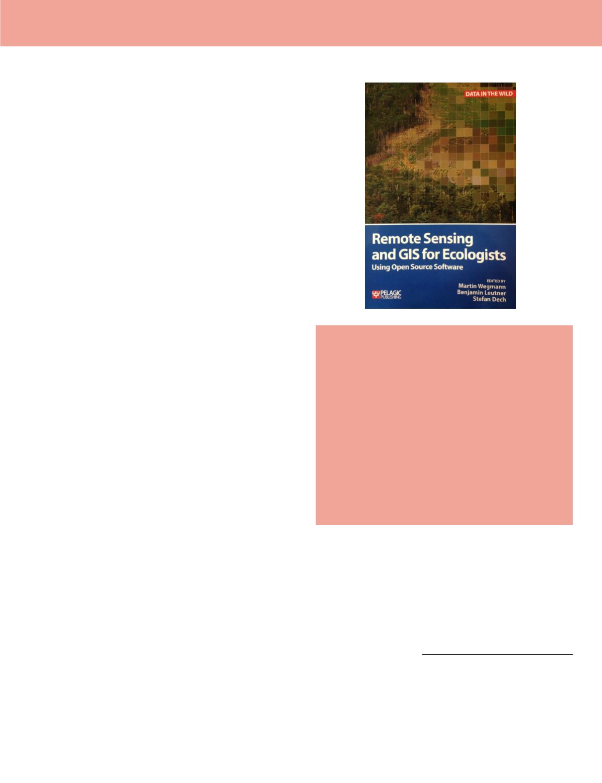
Remote Sensing and GIS for Ecologists:
Using Open Source Software
Edited by Martin Wegman, Benjamin Leutner, and
Stefan Dech
Exexter: Pelagic Publishing, UK. 2016 . x and 333 pp., maps,
images, diagrams, graphs, bibliographic references, index. ISBN
978-1-78427-022-3. Softcover: obtain price from publisher
Reviewed by:
Christiana Ade, Graduate Research
Assistant and Erin Hestir, Assistant Professor,
Department of Marine, Earth, and Atmospheric
Sciences, North Carolina State University, Raleigh,
North Carolina, 27606, USA
Remote Sensing and GIS for Ecologists: Using Open Source
Software
provides instruction and examples of data processing
and analysis in R and a few short tutorials in Quantum GIS
(QGIS). The examples are framed for ecologists wishing to
incorporate remote sensing (RS) data into their research.
The book’s target audience is an intermediate user with some
prior knowledge about spatial data, RS approaches, and open
source software (OSS). Therefore, this book is not aimed at
specialists unless they specifically wish to gain a better
understanding of how to use OSS in combination with RS data.
The explicit assumption of the book is that most ecologists
will be interested in using passive multispectral satellite data
(primarily Landsat and MODIS).
All of the data used in the examples are conveniently
available on the book website
) in
addition to a R code cheatsheet, a forum, book updates, and
more complex R scripts. The book is arranged to follow the
workflow of a typical ecological research project. It begins with
in situ
sampling and defining spatial context and ends with
extracting landscape information and performing statistical
analyses. The first two chapters introduce geospatial data and
the software used throughout the book. Chapter 3 presents
common methods for acquiring spatial data, and Chapter 4
describes introductory data analyses and basic R commands.
Chapter 5 delves into RS data pre-processing, covering topics
including atmospheric correction, topographic illumination
correction, masking and mosaicking. Chapter 6 compares
several field-sampling methods. Chapter 7 presents vegetation
indices, followed by land cover classification in Chapter 8.
Data products created in these two chapters are then used for
land cover change detection in Chapter 9. Chapter 10 returns
to continuous land cover information by presenting fractional
cover analyses. Chapter 11 covers time series analysis, while
Chapter 12 addresses spatial metrics, such as moving window
and smoothing methods. The final chapters present two
methods commonly used by ecologists: species distribution
modeling (Chapter 13) and spatial statistical analysis of
animal movement (Chapter 14).
We review this book from the dual perspective of student
and instructor. In this review, we offer the perspectives of
both 1) a graduate research assistant with intermediate R
experience and a background in Environmental Science,
RS and image processing and 2) an assistant professor of
geospatial analytics with a strong background in multi- and
hyperspectral remote sensing applied to ecosystem ecology,
biodiversity, and biogeochemistry.
From the perspective of a graduate student, this book made
data analysis with R more approachable. The book covers a
large range of topics in a typical RS data processing workflow.
Replicating examples from this book has advanced my research
progress, as they taught me to organize and simplify code, and
continue to serve as a dictionary for scripting questions. This
book is highly recommended as a self-guided study tool for
fellow graduate students.
From the perspective of an instructor, this book provides a
well-structured and clearly presented R tutorial for terrestrial
RS applications. The logical flow of the book and examples used
make it a good resource text for graduate student researchers
wishing to incorporate RS in their research, and it would
make an effective resource for upper division and graduate
Photogrammetric Engineering & Remote Sensing
Vol. 83, No. 6, June 2017, pp. 391–392.
0099-1112/17/391–392
© 2017 American Society for Photogrammetry
and Remote Sensing
doi: 10.14358/PERS.83.6.391


