PHOTOGRAMMETRIC ENGINEERING & REMOTE SENSING
May 2018
243
by
Clifford J. Mugnier, CP, CMS, FASPRS
I
n the 10
th
century Poland was a Slavic duchy.
The crown became elective after 1572, and var-
ious wars caused much loss of territory. Napo-
leon partly reestablished the kingdom (1807-15),
which was later to become closely aligned with
Russia. Poland was declared a republic in 1918,
but it wasn’t until after nearly another century of
being overrun and controlled by others, that the
new constitution was dated 16 October 1997.
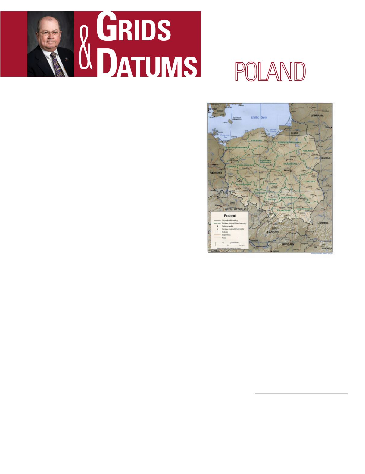
The north and central regions are essentially flat and char-
acterized by morainic topography. This lack of natural barri-
ers on the North European Plain was a major reason for so
many invasions of Poland through-out history. The southern
boundary is mountainous, with the highest peak being Rysy
at 2499 m (8197 ft.); the lowest point in Poland is Raczki El-
blaskie at –2 m.
Early mapping of Poland was instituted by the Prussians
for the western half of the present country, and ap-proxi-
mately 17% of the southeast was mapped by the Austro-Hun-
garian Empire. The remainder of Poland was surveyed and
mapped by czarist Russia. The date of this early mapping
activity goes back to 1816. The early Prussian Landesauf-
nahme characteristically used the Cassini-Soldner projection
in its spherical form that was based on equivalent (Gauss-
ian) spheres referenced to the Bohnenberger ellipsoid and the
Zach ellipsoids, and later the Bessel 1841 ellipsoid. [See also
the Republic of Hungary (
PE&RS
April’99) and the Czech Re-
public (
PE&RS
Jan ’00).] The Prussians and the Austrians
introduced the concept of the cadaster, or system of surveys
and land registration for ownership and taxation. The Aus-
tro-Hungarian surveyors had similar preferences for ellip-
soids, but the Russians were a different story.
The tsarist Russians performed surveys and topographic
mapping of Poland in the 19
th
and early 20
th
centuries, but
these works were for military purposes only. They did noth-
ing with respect to individual land ownership registration,
THE REPUBLIC OF
The Grids & Datums column has completed an exploration of
every country on the Earth. For those who did not get to enjoy this
world tour the first time,
PE&RS
is reprinting prior articles from
the column. This month’s article on The Republic of Poland was
originally printed in 2000 but contains updates to their coordinate
system since then.
and they preferred the sazhen for their unit of measurement.
In the years between the two world wars, this source material
was responsible for some very strange-looking contour maps
of Poland when the unit of measurement was changed from
sazhens to meters where 1 sazhen = 2.134 meters. (The only
time I see similar strange values for contours is when I grade
some of my sophomores’ campus topo maps). The Russians
preferred the Walbeck 1819 ellipsoid where a = 6,376,896 me-
ters and the reciprocal of flattening, (
1
/
f
) = 302.78. Some of
these old maps also referred longitudes to Ferro in the Ca-
nary Islands; a practice dropped after WW II.
New geodetic triangulation started after the founding
of the re-public, and the origin of the Polish National Da-
tum of 1925 (PND 1925) is at station Borowa Gora (gora
is Polish for mountain) where:(
Φ
o
) = 52° 28´ 32.85˝ North,
and (
Λ
o
) = 21° 02´ 12.12” East of Greenwich. The ellipsoid
Photogrammetric Engineering & Remote Sensing
Vol. 84, No. 5, May 2018, pp. 243–245.
0099-1112/18/243–245
© 2018 American Society for Photogrammetry
and Remote Sensing
doi: 10.14358/PERS.84.5.243


