PHOTOGRAMMETRIC ENGINEERING & REMOTE SENSING
May 2014
405
INDUSTRY
NEWS
ASPRS
WEBINAR SERIES
Have you wanted to attend an
ASPRS conference workshop but
didn’t have the time to spend away
from the office? Are your travel
funds limited?
No problem. Here’s why.
ASPRS Workshops are at your fingertips
with the ASPRS Webinar Workshop
Series. Now you can take popular ASPRS
Workshops from your home or office
through the ASPRS Webinar Workshop
Series. Just sign up and log in on the
Webinar date. You will be able to interact
with others attending the Webinar and ask
questions, just as if you were attending the
Workshop at one of our conferences. The
only thing you’ll miss is the coffee break!
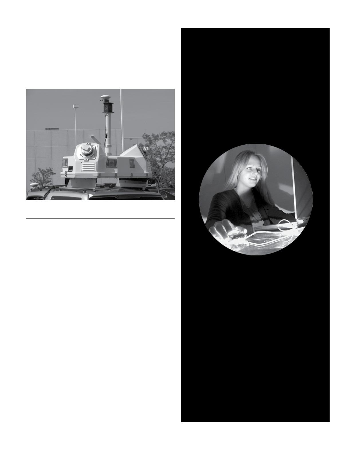
scanners and high-resolution Ladybug® camera, was delivered
for use by Psomas survey group teams in Southern California.
Optech Services personnel trained the Psomas team to operate
the Lynx and leverage the advanced rectification algorithms
and power of the highly automated Optech LMS Lidar Map-
ping Suite workflow, maximizing their ability to consistently
deliver highly accurate data to their clients. For more informa-
tion, visit
or contact
.
PRODUCTS
Cardinal Systems
adds Vr Auto Tie Point and VrBundle to
its Vr Aerial Triangulation package.
The VrAirTrig package
simplifies the accurate collection, editing and management of
aerial triangulation data. A project management tool helps
manage large jobs with the speed and flexibility needed for
maximum efficiency in production. Measurements may be col-
lected manually, semi-automatically or automatically. This in-
novative program incorporates a graphical layout view to man-
age images, control points, workflow and project management.
VrAutoTiePoint automatically ties images together without
GPS or camera data, using state of the art feature matching
and optional least squares matching; optionally adds to manu-
al ties or from previous Auto Ties and requires no digital eleva-
tion model data. User parameters are minimal and intuitive.
VrBundle detects and rejects a large percentage of outlying
measurements which can be as high as 30% and offers the abil-
ity to adjust difficult geometries such as oblique, high oblique
and coincident positions which are commonly found in UAS
and close range projects, without camera position estimates
and includes multi camera self-calibration for close range and
convergent blocks with non-metric cameras.
For more information, visit visit


