PHOTOGRAMMETRIC ENGINEERING & REMOTE SENSING
September 2014
819
Remote Sensing Challenges
in Mountainous Regions
John All, Executive Director, American Climber
Science Program; Department of Geography and
Geology, Western Kentucky University
Remote sensing technology is advancing at a dizzying pace as
ever more accurate sensors and analysis techniques emerge.
However, while this cornucopia provides us with seemingly
unlimited tools, there is still the need for ground reference data
and other ancillary data so that the radiative transfer state
variables translate into biophysical variables of interest. The
American Climber Science Program (ACSP) is on the cutting
edge of this process as we explore some of the harshest areas on
Earth – fromCentral Americanmountain rain forest to the summit
of Mt. Everest - and gather data that is integrated through remote
sensing to create holistic understandings of these environmental
systems. The ACSP is an integrated research program designed
to facilitate field data collection opportunities for scientists in
regions that are difficult to access. Scientists and climbers come
together for expeditions to collect in situ data for scientific projects
and to share their enthusiasm for the mountains. Research
expeditions are also designed to provide opportunities for non-
scientists to learn about scientific practices as well as to instruct
future scientists on safety in mountain regions.
The ACSP’s central tenet is integrated research and our ex-
peditions are formed of scientists and students from diverse
disciplines. Each participant leads their individual project and
also assists in data gathering for all of the expedition studies. We
gather a variety of ground data: from spectroradiometer readings
to glacier particulate composition and quantity to interviews of
local yak herders on grazing patterns. This information is then
integrated and regionalized using remote
sensing data to help inform local resource
management and conservation efforts in co-
ordination with various stakeholders. At the
end of the day, we seek out research projects
with maximum societal benefit and scientific
innovation.
Over the next year, we will be periodically
sharing ACSP work from Central America,
Africa, theHimalayas, and theAndesas
PE&RS
Highlight articles. More information can be
foundabouttheACSPatwww.climberscience.
com or
and we
invite collaborators in all disciplines.
Our first example will be from the ACSP
Cordillera Blanca expeditions in Peru. In
association with
the American Alpine Club,
the Peruvian Ministry of the Environment,
Huascaran National Park, and several
PeruvianUniversities, theACSPhasconducted
research expeditions where, among other
things, we have sampled anthropogenic
pollutants deposited on glaciers. These
pollutants can lead to increased glacier melt
rates and the article which follows discusses
the issues involved in using remote sensing
techniques to detect these pollutants.
by more than one day’s travel. Because rescue responses at
more remote points of the transect would have required
multiple days to over a week under best-case scenarios, careful
planning of the expedition was required.
S
tudy
area
Tropical forests are among the most important biomes on
Earth. They house extraordinary levels of biodiversity, play a
key role in the terrestrial carbon and hydrological cycles, and
provide a range of critical ecosystem services. They are also
threatened by extensive land conversion and forest degradation
leading to increased CO
2
emissions and loss of biodiversity
(Laurence and Useche 2009, van der Werf et al. 2009). Recent
studies also suggest that the tropics are likely to experience
the earliest emergence of historically unprecedented climates
within the next few decades (Mora et al. 2013). Because
many tropical species are not adapted to large variations
in temperature, they are vulnerable to even small changes
(Deutsch et al. 2010). Baseline information on the condition of
intact tropical forests and the modified forest types that have
replaced them in human-managed landscapes is important in
order to monitor future changes and to provide land managers
with information. However, this baseline information is
lacking throughout many regions, and particularly in more
remote locations that are of high importance to conservation
of biodiversity.
The C2C transect focused on collecting baseline ecological
data across Costa Rica with a special focus on two areas of key
interest to conservation including an agricultural landscape in
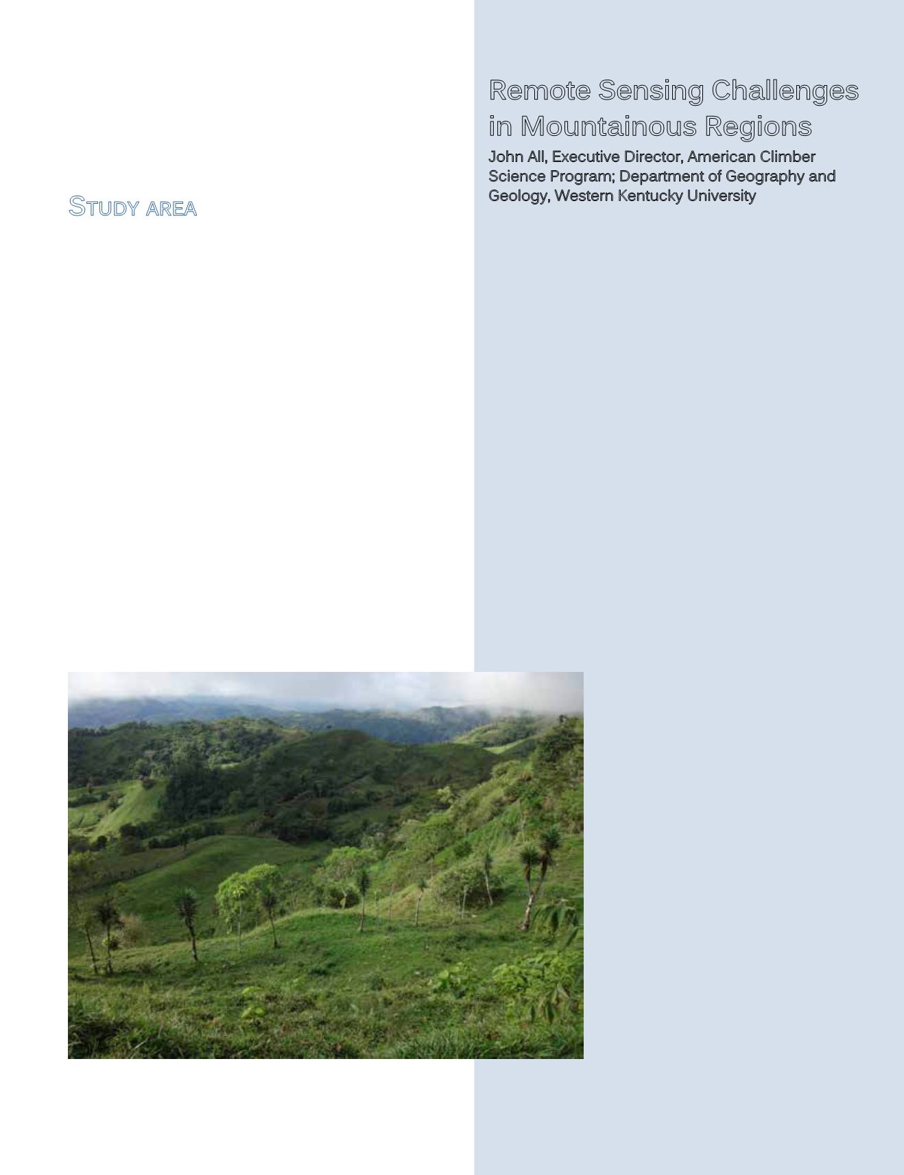
Figure 3: A typical mixed mosaic of tropical agricultural lands. Coto
Brus county, Costa Rica near the Las Cruces Biological Station


