PHOTOGRAMMETRIC ENGINEERING & REMOTE SENSING
February 2017
75
The young women had the opportunity to build a map of the
world pixel by pixel on a large designated floor space. Students
were provided with a short presentation about how to read
and locate objects on a map, how to understand coordinate
systems and some basic concepts of remote sensing.
By evaluating an image to the fundamental building block the
“picture elements” (i.e., the pixels) that comprise the larger
image, the students were introduced to the general concept
of how satellites observe ground features. A demonstration
image, such as a zoomed-in image from the Landsat Satellite
Mission, was displayed to explain how researchers acquire
and process data. Using an open floor space structure, such
as a classroom or gymnasium, the students created their
own grid using strings to establish the equator and prime
meridian as their foundation to build their world map. The
students were provided with several diced 1-inch x 1-inch
cut out colored paper “pixels” of various colors and asked to
recreate the world pixel by pixel on the grid they created.
They were also provided with atlases and a map projected
onto a larger screen to use as a reference in building their
map. In participating in this activity, directly placing the
students on the map itself enforced the learning of space and
place on a 2D surface as observed from above. This exercise
also promoted team building and communications skills.
Interestingly, each group took on a different approach in
creating their shape. The group assigned to Australia started
by dumping a pile of pixels in the center and disbursing them
to the outer boundaries of the continent. The North American
group collaborated on focusing on just the boundary itself with
the careful detail of the outline. However, the group assigned
to Europe took on an entirely different method and layered
rows of a pixel on the grid starting in the north and worked
their way south towards the equator. It was also observed
that if the continent was more foreign and unfamiliar to
the students, such as Asia, the students were less likely to
address the details of the boundaries.
When time was up, all the students stepped back and
revealed a completed world map. The groups were then
asked to explain the experience and what they learned. A
student representative from each group described what they
observed, how they collaborated as a group, why they chose
this method and a little insight they discovered reading about
that continent from the atlases provided.
The feedback from the students was phenomenal. There was
a high but controlled energy level in the room as students
displayed an eagerness to complete the task. Some of the
students who were asked what they learned from the project
admitted that they had never had a geography lesson in
the classroom where they enjoyed discovering so much
information about the world. Another group explained how
they were intimidated by the assignment at first, when
presented with the scale of the project and quantity of
pixels. However, when they started working together they
successfully accomplished the task and were very satisfied
with the outcome. Overall the Pixel Matrix was a successful
project and provided potential interest in the geospatial and
imaging sciences.
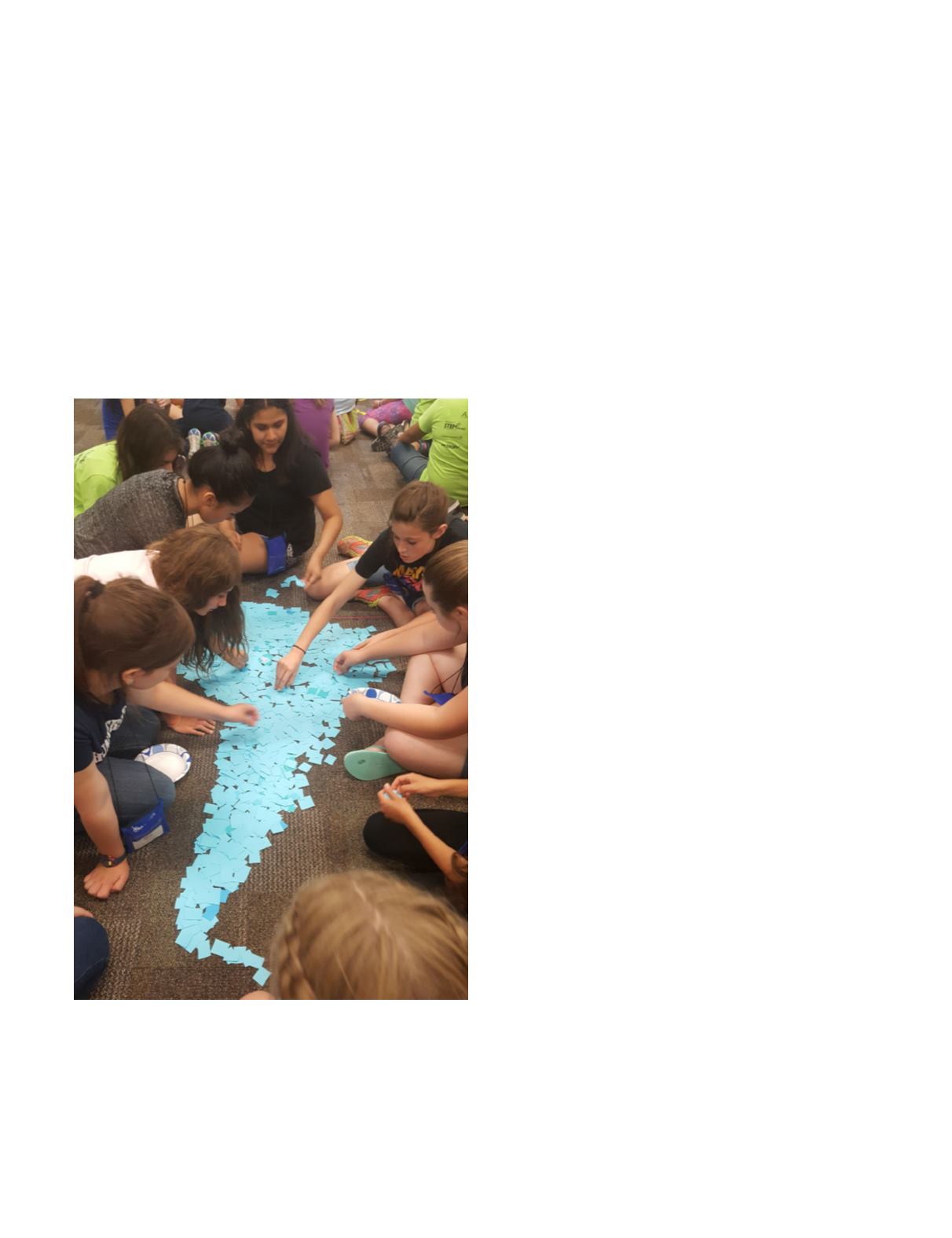
Figure 2. The students assigned to South America build their “pixel”
continent. Using these basic remote sensing concepts, the students
were allowed to work with their groups to complete the task. There
were six groups of ten girls per group, each assigned a unique color.
Limited instruction was given on how to achieve this task, allowing for
each group to engineer their own methods. The groups were each
given a continent to recreate and had about 40 minutes to complete
the project.


