The Landsat series of Earth-observing satellites began 41-years ago as a
partnership between the U.S. Geological Survey (USGS) of the Department
of the Interior (DOI) and The National Aeronautics and Space Administra-
tion (NASA). For the past 41 years, Landsat satellites and associated U.S.
Government ground processing, distribution, and archiving systems have
acquired and made available global, moderate-resolution, multispectral
measurements of land and coastal regions, providing humankind’s lon-
gest record of our planet from space. Landsat information is truly a na-
tional asset, providing an important and unique capability that benefits a
broad community, including Federal, state, and local governments; global
change science; academia, and the private sector.
Landsat data provides a consistent and reliable foundation for research
on land use change, forest health, and carbon inventories, and changes to
our environment, climate, and natural resources. Additionally, the free
and open availability of the Landsat data enables the measurements to
be used routinely by decision makers both inside and outside the Govern-
ment, for a wide range of natural resource issues, including water resource
management, wildfire response, agricultural productivity, rangeland man-
agement, and the effects of climate change.
The latest in the Landsat series of Earth observation satellites, Landsat
8, officially began its mission on May 30, 2013 to extend an unparalleled
four-decade record of Earth’s land surface as seen from space. The vision
espoused many years ago to provide that continuous record of the Earth
set a high bar of achievement not knowing at that time if the observing
record would be one year, five years or 40 years. The stretch toward
meeting the vision of a group of people at DOI and NASA back in the ear-
ly 70s has taken the dedication, devotion and perseverance of hundreds
if not thousands of public servants, industry partners, and stakeholders.
With Landsats 7 and 8 on orbit, the USGS is continuing that vision by pro-
viding data every eight days for any location on the Earth’s landmasses to
anyone, anywhere, at anytime.
In 2013 the Administration committed to continue the Landsat program
for the long term, and directed NASA and USGS to develop a series of
spaceborne systems to provide global, continuous Landsat-quality multi-
spectral and thermal infrared measurements for at least 20 years beyond
Landsat 8. The Administration has also assigned USGS the responsibility to
analyze Landsat users’ needs to inform future operational directions.
More information on Landsat can be found at
/
and
/.
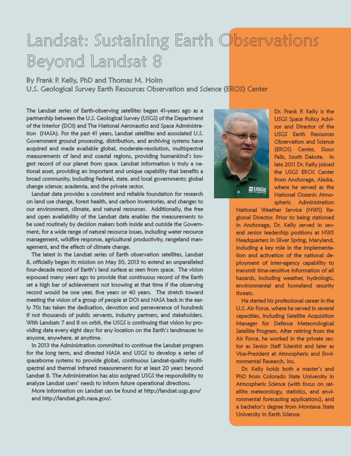
Dr. Frank P. Kelly is the
USGS Space Policy Advi-
sor and Director of the
USGS Earth Resources
Observation and Science
(EROS) Center, Sioux
Falls, South Dakota. In
late 2011 Dr. Kelly joined
the USGS EROS Center
from Anchorage, Alaska,
where he served as the
National Oceanic Atmo-
spheric Administration
National Weather Service (NWS) Re-
gional Director. Prior to being stationed
in Anchorage, Dr. Kelly served in sev-
eral senior leadership positions at NWS
Headquarters in Silver Spring, Maryland,
including a key role in the implementa-
tion and activation of the national de-
ployment of inter-agency capability to
transmit time-sensitive information of all
hazards, including weather, hydrologic,
environmental and homeland security
threats.
He started his professional career in the
U.S. Air Force, where he served in several
capacities, including Satellite Acquisition
Manager for Defense Meteorological
Satellite Program. After retiring from the
Air Force, he worked in the private sec-
tor as Senior Staff Scientist and later as
Vice-President at Atmospheric and Envi-
ronmental Research, Inc.
Dr. Kelly holds both a master’s and
PhD from Colorado State University in
Atmospheric Science (with focus on sat-
ellite meteorology, statistics, and envi-
ronmental forecasting applications), and
a bachelor’s degree from Montana State
University in Earth Science.
Landsat: Sustaining Earth Observations
Beyond Landsat 8
By Frank P. Kelly, PhD and Thomas M. Holm
U.S. Geological Survey Earth Resources Observation and Science (EROS) Center
PHOTOGRAMMETRIC ENGINEERING & REMOTE SENSING
January 2014
15


