adar provides an
all-weather, day-
and-night imaging
capability for
mapping the Earth’s
surface. Through
interferometric
synthetic aperture
radar (InSAR)
technique, radar
imagery can be used
to map Earth surface
characteristics
and measure land
surface deformation
at an unprecedented
precision and spatial
resolution. This article
introduces the basics
of radar and InSAR
imaging, summarizes
the revolution of
InSAR technology
on monitoring
natural hazards
and characterizing
natural resources, and
highlights emerging
InSAR technologies in
coming years.
Frontiers of Radar
Remote Sensing
By Zhong Lu and
Lei Zhang
R
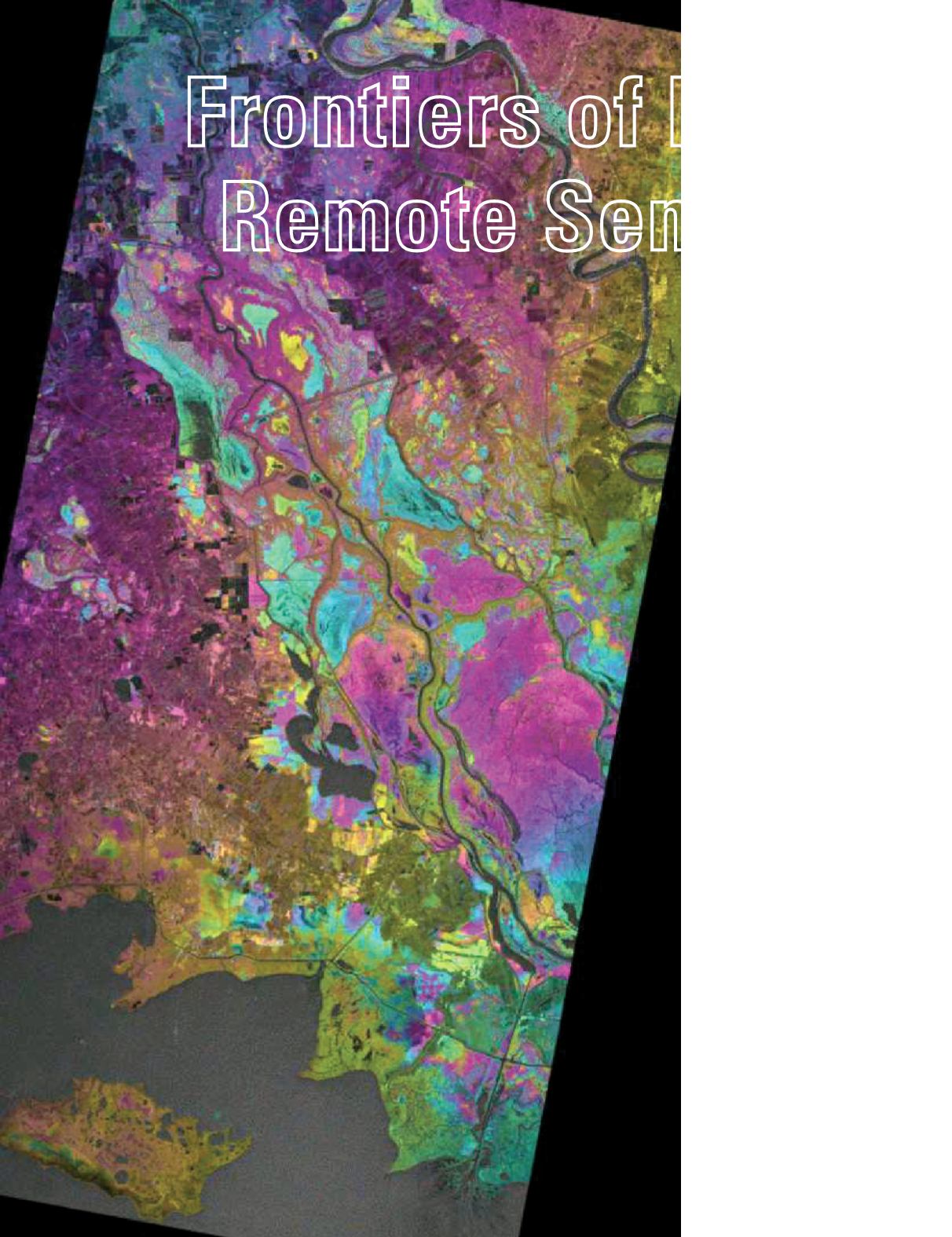
L-band
ALOS
PALSAR
InSAR im-
age shows
water level
changes over
the swamp
forest in south-
eastern Loui-
siana between
Jan 29 and Mar
16, 2007.
PHOTOGRAMMETRIC ENGINEERING & REMOTE SENSING
January 2014
5


