PHOTOGRAMMETRIC ENGINEERING & REMOTE SENSING
February 2016
81
GEOSS is a global geospatial information framework
where data from users and sensors can be exchanged. This
exchange of data is possible by converting and integrating
the different data types through interoperable interfaces and
standards defined by Service-Oriented Architecture (SOA) on
the Internet. The GEOSS Common Infrastructure (GCI) is in
charge of connecting Data provider systems and the applica-
tions of the GEOSS SBA users (Nativi et al., 2013).
The Architecture Implementation Pilot (AIP), a GEOSS
Capacity Building Working Group, was formed by represen-
tatives of different national agencies in Chile along with in-
ternational experts. Chile established its own GEO Group,
led by the Ministry of Foreign Affairs, which involves Chilean
national agencies and services related to Earth observations.
Presently, the agencies includes Centro Sismológico Nacion-
al de la Universidad de Chile (CNS, 2015); Infraestructura
de Datos Geospatiales de Chile—Sistema Nacional de Infor-
mación Territorial (IDE-SNIT, 2015), Ministerio de Bienes
Nacionales; Oficina Nacional de Emergencias de Ministerio
del Interior y Seguridad Pública de Chile (ONEMI, 2015);
Servicio Aerofotogramétrico de la Fuerza (SAF, 2015) Aera
de Chile; Servicio Nacional de Geologia y Mineraria de Chile
(SERNAGEOMIN, 2015); and Servicio Hydrográfico Ocean-
ográfico de la Armada (SHOA, 2015) de Chile. Each agency
contributes to the development and implementation of the
Architecture Implementation Pilot (AIP) project for disaster
management in Chile.
A high-level architecture of GEOSS and the GCI is depicted
in Figure 3. The GEOSS portal is the single Internet gateway
to the comprehensive data produced by the GEOSS commu-
nity. Developed by the European Space Agency (ESA), this
portal makes it easier and faster to discover, preview, and
download GEOSS resources. The GEOSS portal is powered
by the GEO Discovery and Access Broker (DAB) developed
by the National Research Council of Italy (CNR). This com-
ponent stems from the work done in the EuroGEOSS project
(Vaccari et al., 2012; Craglia et al., 2011), and applies the
brokering approach for multidisciplinary interoperability
(Nativi et al., 2013; Nativi et al., 2012; Nativi et al., 2011).
This software architecture design implements a “System of
Systems” solution based on a brokered architecture to solve
interoperability issues. The GEO DAB presently provides
broker components for discovery (Nativi and Bigagli, 2009),
access (Boldrini et al., 2013), and semantics-enabled search
(Santoro et al., 2012) functionalities. The GEOSS Resource
Registration tool, a component of GCI, enables both data pro-
viders and GEOSS users to register their resources and share
their knowledge and experiences. GCI mostly uses geospatial
standards such as Open Geospatial Consortium (OGC, 2015,
Table 1), ISO-Technical Committee 211 (ISOTC211, 2015)
and International Hydrographic Organization (IHO, 2015)
standards, but other information technology as well as web
and cloud standards are also applied, including the ones pro-
moted by W3C, OASIS (Advancing Open Standards for Infor-
mation Society) and other organizations.
O
bjectives
Collaboration amongst people from different countries deter-
mines the advancement of skills and scientific knowledge.
Technological progress and information science, with the use
of interoperable standards, have facilitated the exchange of
data silos and associated metadata and fostered global op-
portunities. While natural disasters are inevitable, the role
of GEOSS and its infrastructure is going to mitigate personal
and socio-economic effects. Countries can count on increasing
resilience capabilities to disasters through more effective pre-
vention, response, and recovery. Here, we show how Chile,
within GEOSS, reduces its vulnerability to disasters by un-
dertaking a pilot project for integration of data and metadata.
D
ata
and
S
tudy
A
rea
As shown in Figure 4, we concentrated on three testing areas:
Talcahuano, Copahue in the Bio Bio Region of Central Chile,
and Iquique in northern Chile. On February 27, 2010, the
Talcahuano coastal area was devastated by a 8.8-magnitude
earthquake and subsequent tsunami. The death toll was 500
and the estimated economic damages totaled about 30 billion
US dollars (Prensa Antartica Chilena, 2014). We used data and
metadata from the Talcahuano tsunami stations, managed by
SHOA (SHOA, 2015) to monitor the occurrence of tsunamis.
One of our testing areas, Copahue, located at the border be-
tween Chile and Argentina, has an elevation of about 2,997m
above sea level and is the location of a stratovolcano. The cal-
dera extends approximately 6.5km by 8.5km and contains
several craters that are aligned in an ENE-WSW direction.
The eastern most crater contains a 300m acid lake called El
Agrio. In 2013, an increase in volcanic activity and subsequent
eruption caused the evacuation of nearly 3,000 people within a
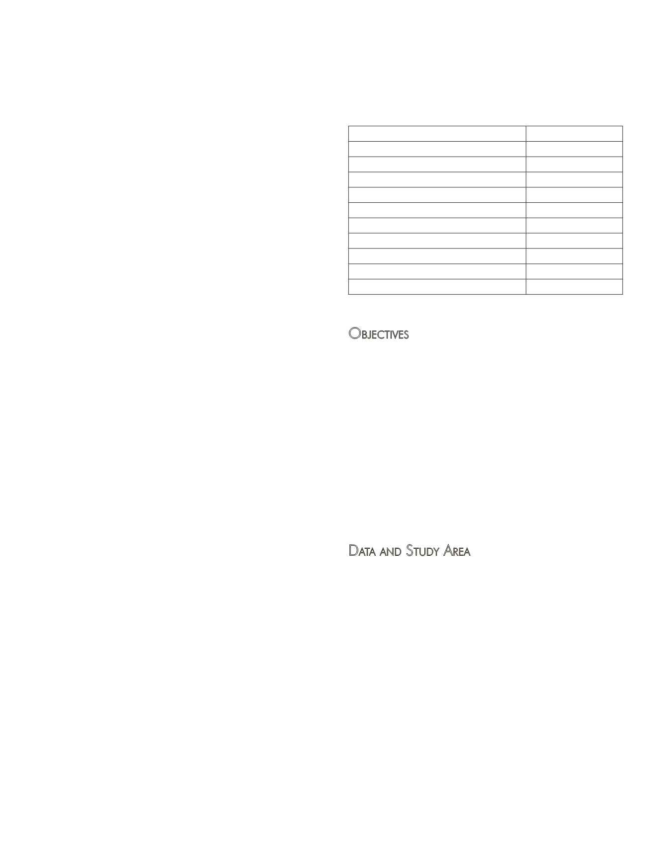
Table 1. Geospatial Standards from Open Geospatial Consortium,
as of June 2015. Some standards were adopted by the International
Standardization Organization, Technical Committee--ISO TC 211 and
used to exchange different types of data through interfaces according
to an interoperable approach. For a complete list, please see: http//
and
OGC Standards Services
ISO TC211
Web Mapping Service (WMS)
Accepted
Web Feature Service (WFS)/GML
Accepted
Web Coverage Service (WCS)
Accepted
Catalog Service for the Web (CSW)
Accepted
Web Processing Service (WPS)
Accepted
Web Map Tiling Service (WMTS)
not currently
Sensor Web Enablement (SWE)
Accepted
Open GeoSMS
not currently
KML
accepted
GeoSparql
not currently


