16
January 2016
PHOTOGRAMMETRIC ENGINEERING & REMOTE SENSING
SECTOR
INSIGHT:
.
edu
Though able to address only a subset of the BoK knowledge
areas in our geospatial curricula here at Cornell
University, we advocate that geospatial educational
programs focus on practical skill development and
applications in the geospatial sciences, defined broadly,
without particular focus on extensive treatment of theory,
a standard set of software and hardware tools, or a single
scientific discipline. Research projects, undergraduate
and graduate courses, and extension/outreach workshops
should use a variety of commercial and open-source
software tools across a broad disciplinary landscape to
address fundamental and practical questions related to
environment and society.
By designing and delivering curricula that are highly
experiential and case-based in content and practice, we
can prepare our students for a variety of challenges and
opportunities they will encounter in the workplace. The
next logical step is to encourage and enable our fellow
geospatial professionals to articulate what is most needed
in today’s workplace, whether it be in the private or public
arena, with respect to a core set of knowledge, skills,
and abilities to advance our respective fields of study
and practice. Educators, in turn, will continually update
curricula and curriculum delivery methods to meet those
workplace needs and expectations.
Several members have stepped forward to contribute
future
Sector Insight
columns on workforce development,
education, and training required to advance and sustain
our profession. We continue to search for individuals
willing to serve as a contributing editor representing
your sector on an annual rotational basis. Members from
all sectors of ASPRS are invited to participate in this
initiative. To submit a “
Sector Insight
” column from your
sector, begin the process by sending a message to Steve
DeGloria or Melissa Rura at
outlining your suggestions for topics. Also contact us if
you are willing to serve as a contributing editor from your
geospatial sector within ASPRS. As a contributing editor,
you will be responsible for soliciting and/or generating one
or more columns per year from your respective sector.
Stephen D. DeGloria is Professor of Resource Inventory and
Analysis at Cornell University; he is an ASPRS Past President.
Melissa J. Rura serves as Book Review Editor for Photogrammetric
Engineering & Remote Sensing, and co-editor for the ASPRS
Glossary of Mapping Science.
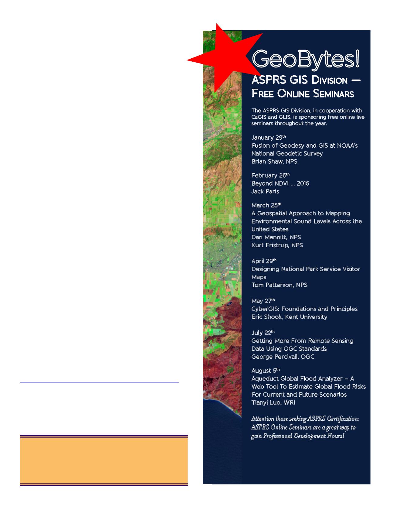
Attention those seeking ASPRS Certification:
ASPRS Online Seminars are a great way to
gain Professional Development Hours!
/
GISD-Division/
Online-Seminars.html
January 29
th
Fusion of Geodesy and GIS at NOAA’s
National Geodetic Survey
Brian Shaw, NPS
February 26
th
Beyond NDVI … 2016
Jack Paris
March 25
th
A Geospatial Approach to Mapping
Environmental Sound Levels Across the
United States
Dan Mennitt, NPS
Kurt Fristrup, NPS
April 29
th
Designing National Park Service Visitor
Maps
Tom Patterson, NPS
May 27
th
CyberGIS: Foundations and Principles
Eric Shook, Kent University
July 22
th
Getting More From Remote Sensing
Data Using OGC Standards
George Percivall, OGC
August 5
th
Aqueduct Global Flood Analyzer – A
Web Tool To Estimate Global Flood Risks
For Current and Future Scenarios
Tianyi Luo, WRI
New!
GeoBytes!
ASPRS GIS D
ivision
—
F
ree
O
nline
S
eminars
The ASPRS GIS Division, in cooperation with
CaGIS and GLIS, is sponsoring free online live
seminars throughout the year.
Is your contact information current?
Contact us at
or log on to
to update your information.
We value your membership.


