338
May 2019
PHOTOGRAMMETRIC ENGINEERING & REMOTE SENSING
SECTOR
INSIGHT:
.
edu
E
ducation
and
P
rofessional
D
evelopment
in
the
G
eospatial
I
nformation
S
cience
and
T
echnology
C
ommunity
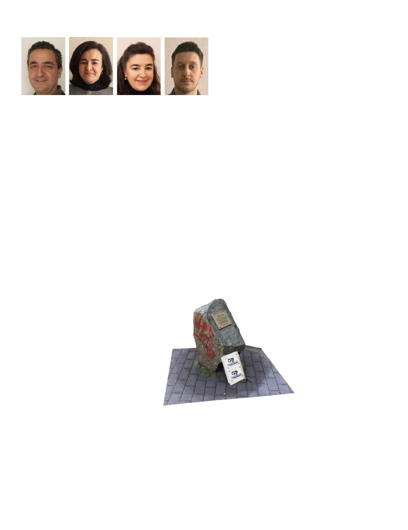
By Juan Ortiz-Sanz, Mariluz Gil-Docampo,
Teresa Rego-Sanmartín, and Marcos Arza-García
The Future Professionals in Geomatics
in this field (i.e., the American Society of Photogrammetry
and Remote Sensing (ASPRS), the International Society
for Photogrammetry and Remote Sensing (ISPRS), the
International Association of Geodesy (AGI), and the Geoscience
and Remote Sensing Society (IEEE/GRSS)) also attempt to
strengthen Geomatics education and training promoting
initiatives within their programs. Under the umbrella of these
societies, a wide number of activities have been carried out
aiming to develop instruments and resources for Geospatial
training and education at all levels. The boom of online courses
in all its forms and the popular phenomenon of massive
online open courses has also contributed to spread Geospatial
technology knowledge.
4
However, the increasing need to
attract more students to Geomatics and related branches has
called for marketing efforts to be also focused on high schools.
Taking Action from Early Ages
It seems clear that efforts seeking to motivate students to
develop the knowledge and skills required to pursue a future
in the Geomatics industry are needed.
For this reason, six-years ago we started an
educational project directly focused on bringing
photogrammetry closer to students from around
the world. Meeting the demands of the youth
in this technology-driven era, we integrated
mobile devices in the project as a key tool
to keep them engaged. The
D3Mobile
international championship brings
K–12 students closer to our field
work through an e-learning
methodology that teaches
them to scan real objects
with their smartphone
camera. Participants gain experience in the scanning of
physical objects and practice a range of techniques related to
further 3D editing process, such as:
•
photogrammetric principles,
•
image acquisition procedures, camera settings,
management of the illumination, and set up of the scene
for 3D reconstruction
•
dense point cloud reconstruction and meshing
•
realistic texture generation
•
3D coordinate systems and transformations.
Graduates and skilled manpower in Geospatial sciences
have never been in such high demand, as the role of spatial
information in society is now well-defined. The integration of
spatial information with computing has allowed the society
to use huge volumes of Geospatial data to help complex
decision making and analysis across all sectors. In parallel, the
work of the professionals in Geomatics is shifting away from
“boots on the ground” and is already far from the classical
surveyor’s conception. Now, Geomatics is a computer-based
and crosscutting discipline that allows the practical application
of science-technology advancements, in the same way that
three-dimensional (3D) spatial skills are currently essential
for many traditional jobs. The applications of Geomatics are
varied and have been widely implemented in land planning,
industrial design and manufacturing, precision agriculture,
aerospace, environmental monitoring, video games, among
others, all over the world. With a global estimated market size
approximating US$ 300 billion, the Geospatial industry is likely
to grow between 15 to 20% over the next few years.
1
This fact
will have important employment implications. In the US, for
example, only the jobs on the subdisciplines of cartography and
photogrammetry are projected to grow 19% over a ten-year
period, much faster than the average for all occupations.
2
However, there is currently an overall concern between
academics and international institutions involved in the
field of Geomatics about the low number of students
enrolling in a university degree program in those
fields. Sadly, indicators remain even worse in
the case of women.
3
The difficulty in attracting
young people makes university programs less
viable, and are often threatened with closure.
For example, our own institution was obliged to
close its Geomatics degree program a couple of
years ago. Also, the construction industry has
been severely affected by the recent world financial crisis,
especially in some countries of southern Europe. Since then,
the enrolment in associate degree programs has remained at
minimal levels almost everywhere.
Although significant enhancements and modernization in
educational programs have been driven by governments and
academic institutions during the last decade, the provision of
new opportunities for learners and innovative changes still
remains necessary. The main international organizations


