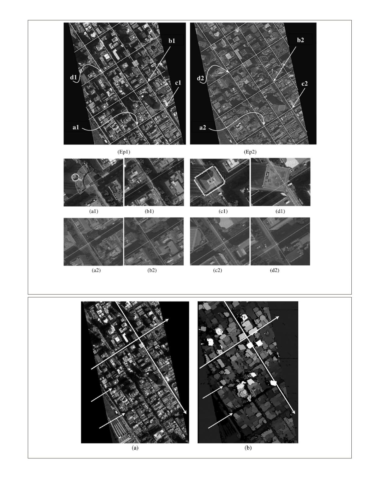
Figure 7. The result of co-registereing roads center lines (straight white lines) in the right epipolar (Ep1), and the left epipolar (Ep2)
images. The sub-images are a magnification of the four road intersections in the left (a1, b1, c1, d1) and in the right (a2, b2, c2, d2) im-
ages. (VHR satellite images © Pleiades Images, Copyright 2012 CNES.)
Figure 8. (a) The left VHR epipolar image and (b) the resulting aboveground disparity map generated by RMAD technique using SGM algorithm.
PHOTOGRAMMETRIC ENGINEERING & REMOTE SENSING
July 2016
541


