sharma

ASPRS Announces 2015 Award Winners

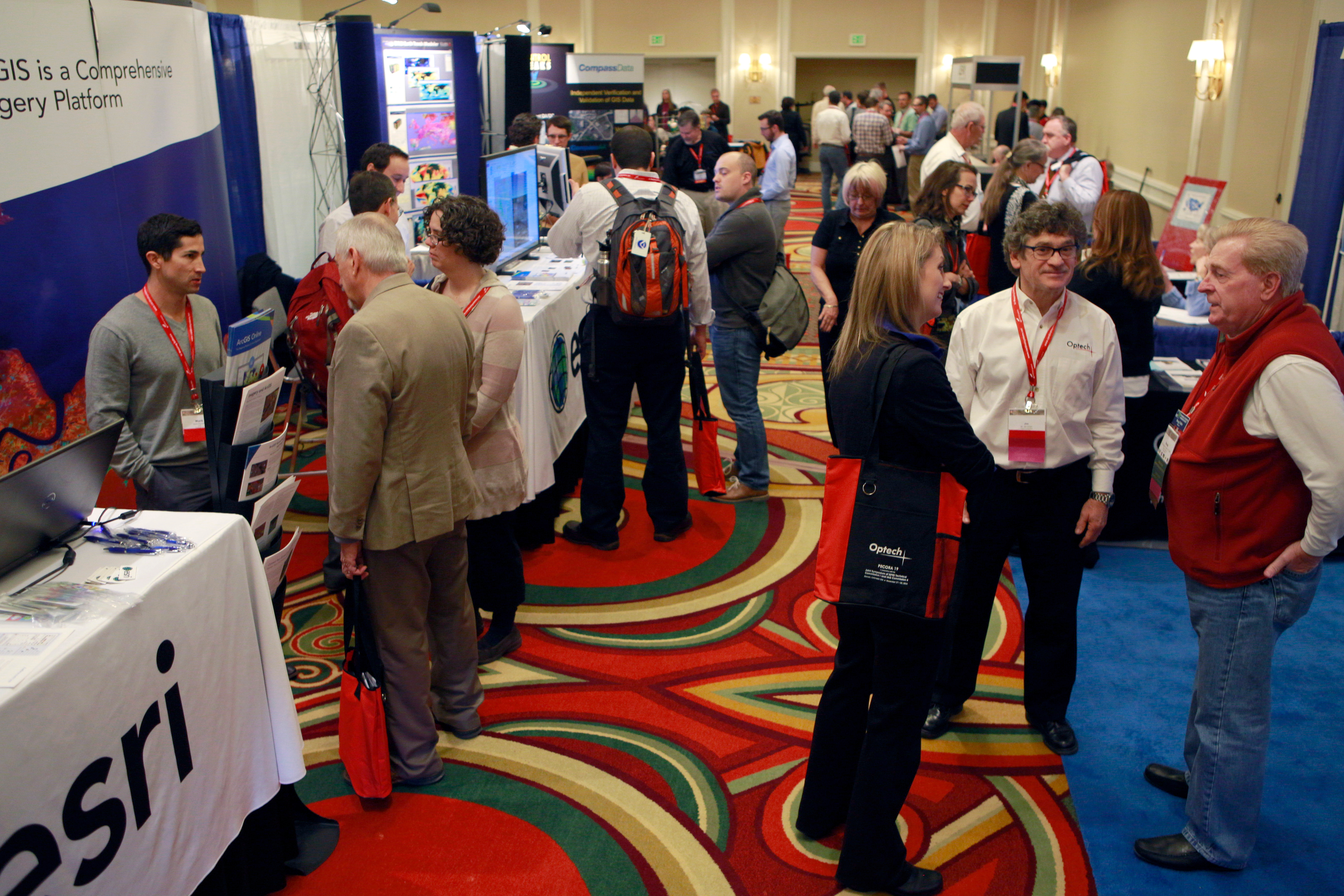
BETHESDA Md. May 2 2015 – The American Society for Photogrammetry and Remote Sensing (ASPRS) and the ASPRS Foundation proudly announce J. B. Sharma as the recipient of the Leidos/Estes Memorial Teaching Award and Professor George Vosselman as the recipient of the Photogrammetric (Fairchild) Award. These and other awards were presented at  the IGTF 2015 – ASPRS Annual Conference and co-located JACIE Workshop in Tampa Florida May 4 through 8 2015. 

J.B.sharma 
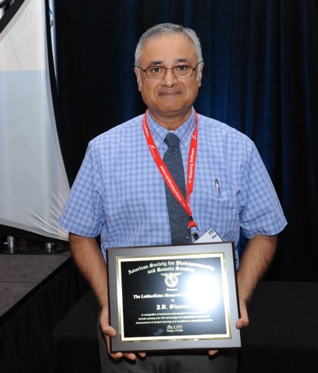
Sharma Winner of Leidos/ Estes Memorial Teaching Award

This year’s recipient of the Leidos/ Estes Memorial Teaching Award is J.B. Sharma. Sharma is a faculty member at the University of North Georgia (UNG) and is the Assistant Head of the Department of Physics.

Uasreno 2015 logo1

Registration is Now Open for UAS Mapping 2015 Reno

Uasreno 2015 logo1

Bethesda Md. May 28 2015 – The second annual technical UAS symposium sponsored by the American Society for Photogrammetry and Remote Sensing (ASPRS) is approaching (September 29-30)! The current fee for ASPRS members to attend the event is only $350. The current fee for non-ASPRS members to attend the event is only $400.  Student rates are available. Exhibitors are provided an exhibit booth and benefits which include two complimentary registrations for only $650. All rates will increase on August 15 2015 so register now!

GeoLeague Challenge 2015

  2015 GeoLeague Canceled – 2016 GeoLeauge announcements coming soon. The 5th Annual ASPRS SAC GeoLeague Challenge – 2015 Online Voting Opens June 15th and Closes July 1st Vs.  Philmont …

Uasreno 2015 logo1

Beginning Slate of Flyers Announced for ASPRS UAS Mapping 2015 Reno Symposium

Uasreno 2015 logo1

BETHESDA Md. April 10 2015 – UAS flyers are signing up to participate in the 2nd Annual UAS MAPPING Test Flights. Ten firms have already expressed their interest in putting their systems through the paces and many more firms are expected to join in! Flights will occur at the beautiful Turf Farm outside of Reno which hosted the test flights at the 2014 event. Organizations interested in performing test flights on the calibration range should contact Pierre le Roux at zpleroux@gmail.com.

New ASPRS Positional Accuracy Standards for Digital Geospatial Data Released

BETHESDA Md. March 2 2015 – The American Society for Photogrammetry and Remote Sensing (ASPRS) is pleased to announce the release of the new Positional Accuracy Standards for Digital Geospatial Data. The new standards are available at: https://www.asprs.org/Standards-Activities.html.

The new ASPRS accuracy standards fill a critical need for map users and map makers alike. For centuries map scale and contour interval have been used as an indication of map accuracy. Users want to know how accurately they can measure different things on a map and map makers want to know how accurate maps need to be in order to satisfy user requirements. Those contracting for new maps depend on some form of map accuracy standard to evaluate the tradeoff between the accuracy required vs. how much time and expense are justified in achieving it and then to describe the accuracy of the result in a uniform way that is reliable defensible and repeatable.

Uasreno 2015 logo1

UAS Mapping Reno Call for Abstracts

Uasreno 2015 logo1

Bethesda MD – The second annual technical UAS symposium sponsored by the American Society for Photogrammetry and Remote Sensing (ASPRS) is scheduled for September 29-30 2015 in Reno Nevada.  Expanding on the highly successful format and events of last year’s symposium this year’s event will include test flights UAS data processing and workshops. 

The extended schedule is:
Sat – 9/26        UAS Test Flights
Sun – 9/27        UAS Test Flights
Mon – 9/28       UAS Test Flight Data Processing Workshop (hosted by ASPRS)
                          Exhibit Set-Up
                          Opening Reception
Tues – 9/29       Symposium and Technical Demonstration – Reno Ballroom
                          UAS Live Demonstration
Wed – 9/30       Symposium and Technical Demonstration – Reno Ballroom
Thurs – 10/1     UAS Meetings and Workshops (open for vendors and agencies to host)

Coalition of Geospatial Organizers (COGO) Announces the Release of the Report Card on the U.S. National Spatial Data Infrastructure

BETHESDA Md. Feb. 11 2015 – The Coalition of Geospatial Organizations (COGO) announces the release of its Report Card on the U.S. National Spatial Data Infrastructure (NSDI) that depicts the condition and performance of the nation’s geospatial “infrastructure” which includes surveyed mapped and remotely-sensed information.

The report card was developed by an expert panel chaired by The Honorable James E. Geringer former Governor of Wyoming with Dr. David J. Cowen John J. Moeller Dr. John D. Bossler Susan Carson Lambert The Honorable Tom D. Rust and The Honorable Robert T. Welch. COGO initiated this effort in 2009 by securing the commitment of the expert panel members who worked on a volunteer basis to produce this report.

Landsat 8 Team

Pecora ISPRS IAG Joint Symposium Presents Prestigious Awards

BETHESDA Md. January 7 2015 – The United States Geological Survey (USGS) and the International Society for Photogrammetry and Remote Sensing (ISPRS) presented a number of prestigious awards during the Pecora 19 Symposium in conjunction with the Joint Symposium of ISPRS Technical Commission I and IAG Commission 4 in Denver Colorado November 17 – 20 2014.  

On Tuesday November 18th Dr. Frank Kelly Director USGS EROS presented the 2014 William T. Pecora Awards. The William T. Pecora Award is presented annually to individuals or groups that make outstanding contributions toward understanding the Earth by means of remote sensing. The award is sponsored jointly by the Department of the Interior (DOI) and the National Aeronautics and Space Administration (NASA).

2014 Group Award – Landsat 8 Team – For outstanding contributions toward understanding the Earth’s land surface and surrounding coastal regions.
Landsat 8 TeamThe Landsat Data Continuity Mission was successfully launched on February 11 2013. Renamed Landsat 8 on May 30 2013 this mission continues the goals established by William Pecora and other visionaries 50 years ago. The Landsat 8 Team consisting of NASA USGS and industry partners has performed at the highest levels from the beginning of mission development to the present.

January 2015

2015 E-Journal Members

  As a member or subscriber you have full access to the peer reviewed articles hosted by Ingentaconnect. Please click here to access PE&RS peer reviewed articles in the journal. …

full exhibithall

Outstanding PECORA ISPRS IAG Joint Symposium in Denver

BETHESDA Md. December 22 2014 – The Pecora 19 Symposium in conjunction with the Joint Symposium of ISPRS Technical Commission I and IAG Commission 4 was held November 17 – 20 2014 at the Renaissance Denver Hotel in Denver Colorado with great success for all involved and in attendance. 

full exhibithallThe Symposium welcomed over 480 attendees from more than 25 countries around the globe for a unique and thought provoking two and a half days of technical sessions. All industry segments were well represented with 39% of the attendee base from the Commercial side 29% from Academia and 32% from Government.  More than 190 speakers presented in 35 sessions ranging in topic from “UAS and Data Analysis” to “Landsat and Sentinel” “Land Cover Change” “Mobile Mapping Technologies” and many more. “The caliber of sessions at this symposium has been the best I’ve experienced …” said one attendee.